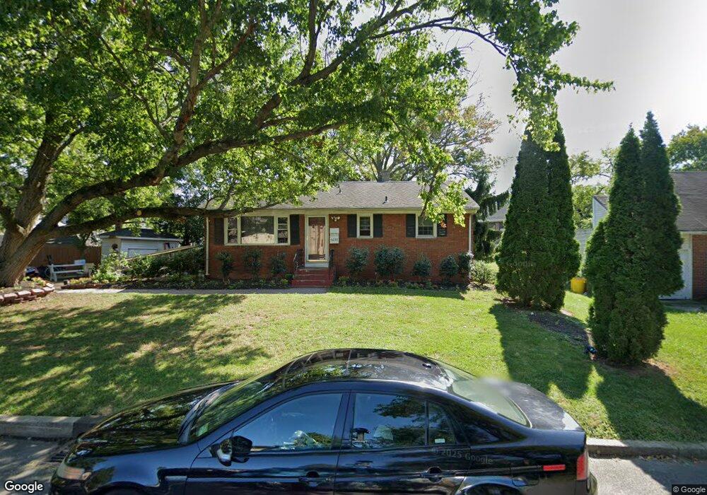
1633 12th St Ewing, NJ 08638
Prospect NeighborhoodEstimated Value: $267,825 - $342,000
Studio
--
Bath
1,148
Sq Ft
$273/Sq Ft
Est. Value
About This Home
This home is located at 1633 12th St, Ewing, NJ 08638 and is currently estimated at $313,456, approximately $273 per square foot. 1633 12th St is a home located in Mercer County with nearby schools including Ewing High School, Paul Robeson Charter School For The Humanities, and Trenton Stem-To-Civics Charter School.
Ownership History
Date
Name
Owned For
Owner Type
Purchase Details
Closed on
May 26, 2023
Sold by
Jenks Leroy
Bought by
Kokeshia Gordon and Gordon Kokeshia S
Current Estimated Value
Home Financials for this Owner
Home Financials are based on the most recent Mortgage that was taken out on this home.
Original Mortgage
$72,163
Interest Rate
6.43%
Mortgage Type
New Conventional
Create a Home Valuation Report for This Property
The Home Valuation Report is an in-depth analysis detailing your home's value as well as a comparison with similar homes in the area
Home Values in the Area
Average Home Value in this Area
Purchase History
| Date | Buyer | Sale Price | Title Company |
|---|---|---|---|
| Kokeshia Gordon | -- | Nationallink | |
| Kokeshia Gordon | -- | Nationallink |
Source: Public Records
Mortgage History
| Date | Status | Borrower | Loan Amount |
|---|---|---|---|
| Closed | Kokeshia Gordon | $72,163 |
Source: Public Records
Tax History
| Year | Tax Paid | Tax Assessment Tax Assessment Total Assessment is a certain percentage of the fair market value that is determined by local assessors to be the total taxable value of land and additions on the property. | Land | Improvement |
|---|---|---|---|---|
| 2025 | $6,678 | $169,800 | $49,600 | $120,200 |
| 2024 | $6,278 | $169,800 | $49,600 | $120,200 |
| 2023 | $6,278 | $169,800 | $49,600 | $120,200 |
| 2022 | $6,108 | $169,800 | $49,600 | $120,200 |
| 2021 | $5,958 | $169,800 | $49,600 | $120,200 |
| 2020 | $5,873 | $169,800 | $49,600 | $120,200 |
| 2019 | $5,721 | $169,800 | $49,600 | $120,200 |
| 2018 | $5,425 | $102,700 | $32,900 | $69,800 |
| 2017 | $5,551 | $102,700 | $32,900 | $69,800 |
| 2016 | $5,476 | $102,700 | $32,900 | $69,800 |
| 2015 | $5,403 | $102,700 | $32,900 | $69,800 |
| 2014 | $5,389 | $102,700 | $32,900 | $69,800 |
Source: Public Records
Map
Nearby Homes
- 21 Buttonwood Dr
- 17 Hillman Ave
- 1625 6th St
- 91 Groveland Ave
- 2220 Spruce St
- 24 Keswick Ave
- 43 Iowana Ave
- 41 Poland St
- 7 Mabel St
- 32 Stoneham Rd
- 16 Bittersweet Rd
- 50 Groveland Ave
- 124 Hawthorne Ave
- 35 Rosedale Ave
- 33 Sherbrooke Rd
- 56 Sherbrooke Rd
- 42 Hazelhurst Ave
- 124 New Hillcrest Ave
- 341 Stokes Ave
- 1410 Pennington Rd
Your Personal Tour Guide
Ask me questions while you tour the home.