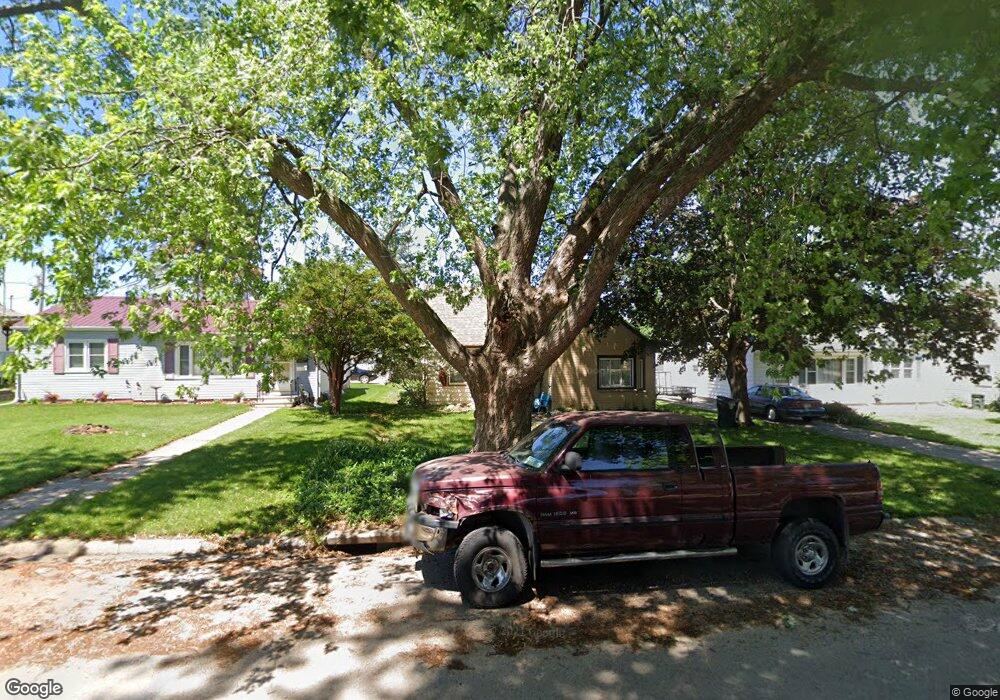
1633 Byron Ave Waterloo, IA 50702
Liberty Park NeighborhoodEstimated Value: $153,000 - $169,000
3
Beds
2
Baths
1,318
Sq Ft
$124/Sq Ft
Est. Value
About This Home
This home is located at 1633 Byron Ave, Waterloo, IA 50702 and is currently estimated at $162,851, approximately $123 per square foot. 1633 Byron Ave is a home located in Black Hawk County with nearby schools including Kittrell Elementary School, Hoover Middle School, and West High School.
Ownership History
Date
Name
Owned For
Owner Type
Purchase Details
Closed on
Jan 10, 2008
Sold by
Youngblut Leonard and Youngblut Linda L
Bought by
Deahl Sandie
Current Estimated Value
Home Financials for this Owner
Home Financials are based on the most recent Mortgage that was taken out on this home.
Original Mortgage
$96,425
Outstanding Balance
$60,622
Interest Rate
6.17%
Mortgage Type
FHA
Estimated Equity
$102,229
Create a Home Valuation Report for This Property
The Home Valuation Report is an in-depth analysis detailing your home's value as well as a comparison with similar homes in the area
Home Values in the Area
Average Home Value in this Area
Purchase History
| Date | Buyer | Sale Price | Title Company |
|---|---|---|---|
| Deahl Sandie | $100,000 | Black Hawk County Abstract & |
Source: Public Records
Mortgage History
| Date | Status | Borrower | Loan Amount |
|---|---|---|---|
| Open | Deahl Sandie | $96,425 |
Source: Public Records
Tax History Compared to Growth
Tax History
| Year | Tax Paid | Tax Assessment Tax Assessment Total Assessment is a certain percentage of the fair market value that is determined by local assessors to be the total taxable value of land and additions on the property. | Land | Improvement |
|---|---|---|---|---|
| 2025 | $3,390 | $154,200 | $15,760 | $138,440 |
| 2024 | $3,390 | $156,300 | $15,760 | $140,540 |
| 2023 | $2,528 | $156,300 | $15,760 | $140,540 |
| 2022 | $2,460 | $115,080 | $15,760 | $99,320 |
| 2021 | $2,452 | $115,080 | $15,760 | $99,320 |
| 2020 | $2,410 | $108,140 | $12,130 | $96,010 |
| 2019 | $2,410 | $108,140 | $12,130 | $96,010 |
| 2018 | $2,412 | $108,140 | $12,130 | $96,010 |
| 2017 | $2,484 | $108,140 | $12,130 | $96,010 |
| 2016 | $2,454 | $108,140 | $12,130 | $96,010 |
| 2015 | $2,454 | $108,140 | $12,130 | $96,010 |
| 2014 | $2,378 | $102,810 | $12,130 | $90,680 |
Source: Public Records
Map
Nearby Homes
- 1658 Glenny Ave
- 1664 Hawthorne Ave
- 1806 Hawthorne Ave
- 1727 Forest Ave
- 1642 Bertch Ave
- 1811 Forest Ave
- 1832 Patton Ave
- 1847 Forest Ave
- 1015 Amherst Ave
- 1524 Williston Ave
- 739 W 11th St
- 1219 Hammond Ave
- 236 Linwood Ave
- 649 W 11th St
- 406-408 Gladys St
- 1714 Easton Ave
- 340 W 13th St
- 1207 Bertch Ave
- 1310 South St
- 1147 Bourland Ave
- 1637 Byron Ave
- 1627 Byron Ave
- 1641 Byron Ave
- 1630 Hawthorne Ave
- 1647 Byron Ave
- 1617 Byron Ave
- 1638 Hawthorne Ave
- 1626 Hawthorne Ave
- 1642 Hawthorne Ave
- 1620 Hawthorne Ave
- 1626 Byron Ave
- 1634 Byron Ave
- 1651 Byron Ave
- 1648 Hawthorne Ave
- 1616 Hawthorne Ave
- 1622 Byron Ave
- 1642 Byron Ave
- 1613 Byron Ave
- 1652 Hawthorne Ave
- 1610 Hawthorne Ave