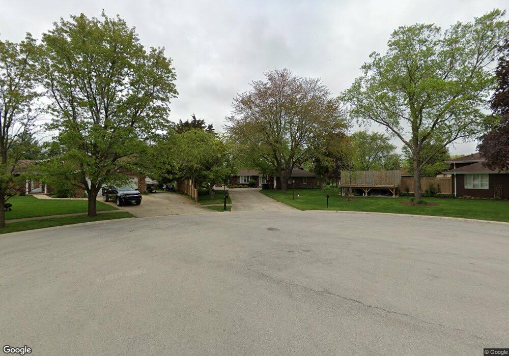
16337 John Ct Lockport, IL 60441
Estimated Value: $359,103 - $418,000
Studio
1
Bath
1,948
Sq Ft
$199/Sq Ft
Est. Value
About This Home
This home is located at 16337 John Ct, Lockport, IL 60441 and is currently estimated at $387,776, approximately $199 per square foot. 16337 John Ct is a home located in Will County with nearby schools including Richland Elementary School, Richland Jr High School, and Lockport Township High School East.
Ownership History
Date
Name
Owned For
Owner Type
Purchase Details
Closed on
Jun 24, 2021
Sold by
Reiterb Stormy L
Bought by
Murr William
Current Estimated Value
Home Financials for this Owner
Home Financials are based on the most recent Mortgage that was taken out on this home.
Original Mortgage
$120,000
Outstanding Balance
$109,014
Interest Rate
3.12%
Mortgage Type
New Conventional
Estimated Equity
$278,762
Purchase Details
Closed on
Dec 8, 1987
Bought by
Reiter Thomas P
Create a Home Valuation Report for This Property
The Home Valuation Report is an in-depth analysis detailing your home's value as well as a comparison with similar homes in the area
Home Values in the Area
Average Home Value in this Area
Purchase History
| Date | Buyer | Sale Price | Title Company |
|---|---|---|---|
| Murr William | $275,000 | Fidelity National Title | |
| Reiter Thomas P | $35,000 | -- |
Source: Public Records
Mortgage History
| Date | Status | Borrower | Loan Amount |
|---|---|---|---|
| Open | Murr William | $120,000 |
Source: Public Records
Tax History
| Year | Tax Paid | Tax Assessment Tax Assessment Total Assessment is a certain percentage of the fair market value that is determined by local assessors to be the total taxable value of land and additions on the property. | Land | Improvement |
|---|---|---|---|---|
| 2024 | $8,864 | $117,378 | $29,917 | $87,461 |
| 2023 | $8,864 | $96,808 | $26,858 | $69,950 |
| 2022 | $7,240 | $90,303 | $25,053 | $65,250 |
| 2021 | $6,402 | $84,863 | $23,544 | $61,319 |
| 2020 | $6,231 | $82,073 | $22,770 | $59,303 |
| 2019 | $5,896 | $77,794 | $21,583 | $56,211 |
| 2018 | $5,814 | $74,802 | $20,753 | $54,049 |
| 2017 | $5,497 | $70,614 | $19,591 | $51,023 |
| 2016 | $5,126 | $64,504 | $17,896 | $46,608 |
| 2015 | $4,823 | $60,170 | $16,694 | $43,476 |
| 2014 | $4,823 | $58,418 | $16,208 | $42,210 |
| 2013 | $4,823 | $68,727 | $19,068 | $49,659 |
Source: Public Records
Map
Nearby Homes
- 20524 Mcgilvray Dr
- 20711 W Renwick Rd
- 16637 Serene Lake Way
- 21201 Lily Lake Ln
- 21207 Prince Lake Ct
- 16139 Seneca Lake Cir
- 16613 Buckner Pond Way
- 782 S Baldwin Ln Unit 3
- 16459 Buckner Pond Way
- 1471 W Grand Haven Rd Unit 3
- 729 S Mecosta Ln Unit 2
- 733 S Mecosta Ln Unit 2
- 17104 Weber Rd
- 1481 W Grand Haven Rd
- 16300 Crescent Lake Dr
- 696 S Wellston Ln
- 16346 Crescent Lake Dr
- 16242 Tomahawk Lake Ct Unit 7
- 1534 W Cadillac Cir
- 21456 Wolf Lake Way
- 20618 Thomas Dr
- 20606 Thomas Dr
- 16351 John Ct
- 16336 John Ct
- 16348 John Ct
- 16345 John Ct
- 16365 John Ct
- 20607 Thomas Dr
- 16400 John Ct
- 20660 Thomas Dr
- 16244 Michigan Ct
- 16245 Michigan Ct
- 16240 Michigan Ct
- 16239 Michigan Ct
- 16417 John Ct
- 20661 Thomas Dr
- 16337 Albert Dr
- 16416 John Ct
- 16236 Michigan Ct
- 16345 Albert Dr
Your Personal Tour Guide
Ask me questions while you tour the home.