1635 Balsam Ridge Rd SW Bemidji, MN 56601
Estimated Value: $327,000 - $350,724
4
Beds
2
Baths
1,767
Sq Ft
$190/Sq Ft
Est. Value
About This Home
This home is located at 1635 Balsam Ridge Rd SW, Bemidji, MN 56601 and is currently estimated at $334,931, approximately $189 per square foot. 1635 Balsam Ridge Rd SW is a home located in Beltrami County with nearby schools including Solway Elementary School, Bemidji Middle School, and Bemidji Senior High School.
Ownership History
Date
Name
Owned For
Owner Type
Purchase Details
Closed on
Jan 15, 2019
Sold by
Swiekard Kenneth W
Bought by
Warrington Gerald and Warrington Samantha
Current Estimated Value
Home Financials for this Owner
Home Financials are based on the most recent Mortgage that was taken out on this home.
Original Mortgage
$135,500
Outstanding Balance
$119,373
Interest Rate
4.7%
Mortgage Type
New Conventional
Estimated Equity
$215,558
Purchase Details
Closed on
Jun 25, 2015
Sold by
Syverson Frank S and Syverson Mary L
Bought by
Swickard Kenneth W
Home Financials for this Owner
Home Financials are based on the most recent Mortgage that was taken out on this home.
Original Mortgage
$140,000
Interest Rate
3.82%
Mortgage Type
Purchase Money Mortgage
Create a Home Valuation Report for This Property
The Home Valuation Report is an in-depth analysis detailing your home's value as well as a comparison with similar homes in the area
Home Values in the Area
Average Home Value in this Area
Purchase History
| Date | Buyer | Sale Price | Title Company |
|---|---|---|---|
| Warrington Gerald | $207,000 | Sathere Title & Abstract Inc | |
| Swickard Kenneth W | $200,000 | None Available |
Source: Public Records
Mortgage History
| Date | Status | Borrower | Loan Amount |
|---|---|---|---|
| Open | Warrington Gerald | $135,500 | |
| Previous Owner | Swickard Kenneth W | $140,000 |
Source: Public Records
Tax History Compared to Growth
Tax History
| Year | Tax Paid | Tax Assessment Tax Assessment Total Assessment is a certain percentage of the fair market value that is determined by local assessors to be the total taxable value of land and additions on the property. | Land | Improvement |
|---|---|---|---|---|
| 2024 | $2,660 | $291,500 | $88,000 | $203,500 |
| 2023 | $2,660 | $291,500 | $88,000 | $203,500 |
| 2022 | $2,233 | $274,000 | $88,000 | $186,000 |
| 2021 | $1,924 | $178,400 | $55,800 | $122,600 |
| 2019 | $1,812 | $178,400 | $55,800 | $122,600 |
| 2018 | $1,806 | $168,500 | $55,800 | $112,700 |
| 2016 | $846 | $161,100 | $56,500 | $104,600 |
| 2015 | $818 | $130,300 | $0 | $0 |
| 2014 | $790 | $130,300 | $0 | $0 |
| 2011 | $864 | $153,000 | $0 | $0 |
Source: Public Records
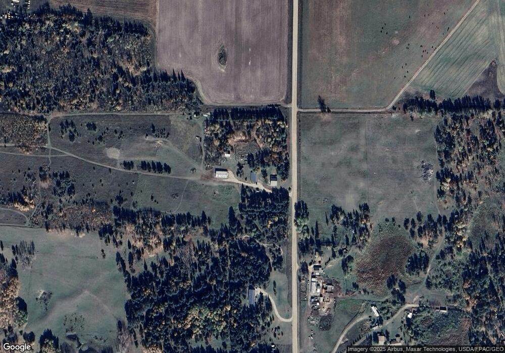
Map
Nearby Homes
- TBD Division St W
- 9207 Capella Dr NW
- 4242 Tall Timber Ln SW
- 2196 Wilton Hill Rd NW
- 2858 Miller Rd SW
- TBD Mikes Rd SW
- 510 Old Willow Ct NW
- TBD (L9,B2) Goldfinch Ln SW
- TBD (L11,B2) Grant Hills Rd SW
- L5&6B1 Trophy Buck Rd SW
- 1439 Averi Cir NW
- 1387 Averi Cir NW
- 241 Swedmark Dr SW
- 17256 Trengove Rd NW
- Lot 14 Country Field Ln SW
- 3790 Country Field Ln SW
- 2012 Monarch Dr SW
- 2157 Oak Ridge Rd SW
- 4535 Jones Townhall Rd NW
- TBD Buchanan Ave SW
- 1835 Balsam Ridge Rd SW
- 1750 Balsam Ridge Rd SW
- 10751 Pine Needle Trail SW
- 10675 Pine Needle Trail SW
- 1975 Balsam Ridge Rd SW
- 2059 Balsam Ridge Rd SW
- 0 Balsam Ridge Rd SW
- 2236 Balsam Ridge Rd SW
- 983 Balsam Ridge Rd SW
- 11247 Misty Meadows Rd SW
- 11551 Misty Meadows Rd SW
- 10856 Misty Meadows Rd SW
- 11124 Misty Meadows Rd SW
- 873 Balsam Ridge Rd SW
- 11028 Misty Meadows Rd SW
- 789 Balsam Ridge Rd SW
- 789 Balsam Ridge Rd SW
- 9883 Twain Dr SW
- 10095 Twain Dr SW
- 11895 Misty Meadows Rd SW