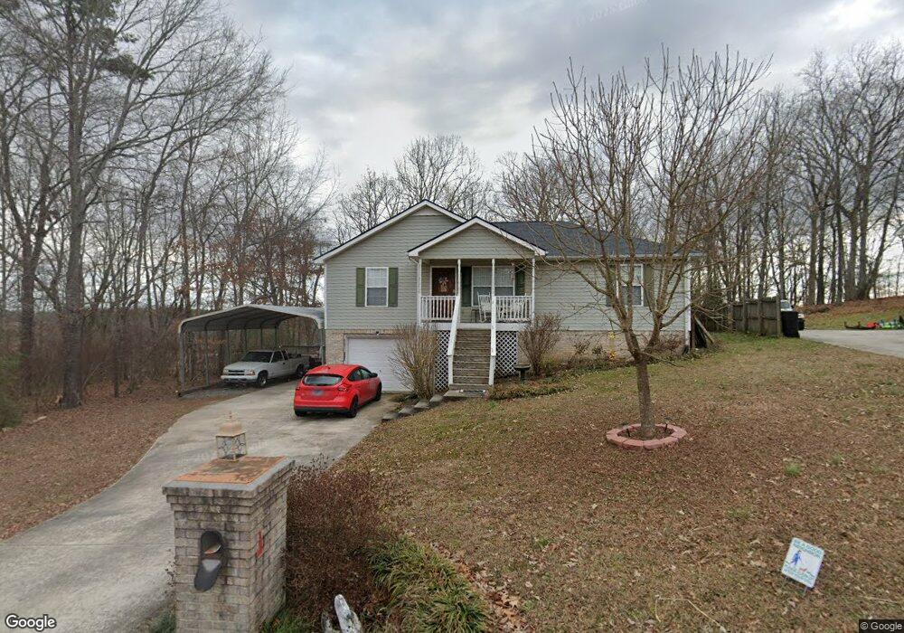
1635 Wendy Cir Soddy Daisy, TN 37379
Estimated Value: $260,000 - $347,000
--
Bed
--
Bath
1,404
Sq Ft
$207/Sq Ft
Est. Value
About This Home
This home is located at 1635 Wendy Cir, Soddy Daisy, TN 37379 and is currently estimated at $291,328, approximately $207 per square foot. 1635 Wendy Cir is a home located in Hamilton County with nearby schools including Loftis Middle School.
Ownership History
Date
Name
Owned For
Owner Type
Purchase Details
Closed on
Jun 28, 2021
Sold by
Gann Rickey Dean and Gann Beverly Shannon
Bought by
Johnson Heather
Current Estimated Value
Home Financials for this Owner
Home Financials are based on the most recent Mortgage that was taken out on this home.
Original Mortgage
$173,992
Interest Rate
2.8%
Mortgage Type
FHA
Purchase Details
Closed on
May 19, 2004
Sold by
Oakes Harvey J and Gann Beverly Shannon
Bought by
Gann Rickey Dean and Gann Beverly Shannon
Home Financials for this Owner
Home Financials are based on the most recent Mortgage that was taken out on this home.
Original Mortgage
$65,000
Interest Rate
5.88%
Mortgage Type
Stand Alone Refi Refinance Of Original Loan
Purchase Details
Closed on
Aug 23, 2002
Sold by
Furrow Larry C and Furrow Sharon D
Bought by
Oakes Harvey J and Gann Beverly Shannon
Create a Home Valuation Report for This Property
The Home Valuation Report is an in-depth analysis detailing your home's value as well as a comparison with similar homes in the area
Home Values in the Area
Average Home Value in this Area
Purchase History
| Date | Buyer | Sale Price | Title Company |
|---|---|---|---|
| Johnson Heather | $190,000 | Northshore Ttl Ins Agcy Inc | |
| Gann Rickey Dean | -- | -- | |
| Oakes Harvey J | $91,794 | -- |
Source: Public Records
Mortgage History
| Date | Status | Borrower | Loan Amount |
|---|---|---|---|
| Previous Owner | Johnson Heather | $173,992 | |
| Previous Owner | Gann Rickey Dean | $65,000 |
Source: Public Records
Tax History Compared to Growth
Tax History
| Year | Tax Paid | Tax Assessment Tax Assessment Total Assessment is a certain percentage of the fair market value that is determined by local assessors to be the total taxable value of land and additions on the property. | Land | Improvement |
|---|---|---|---|---|
| 2024 | $1,141 | $51,000 | $0 | $0 |
| 2023 | $1,150 | $51,000 | $0 | $0 |
| 2022 | $1,150 | $51,000 | $0 | $0 |
| 2021 | $1,150 | $51,000 | $0 | $0 |
| 2020 | $1,079 | $38,700 | $0 | $0 |
| 2019 | $1,079 | $38,700 | $0 | $0 |
| 2018 | $1,079 | $38,700 | $0 | $0 |
| 2017 | $1,079 | $38,700 | $0 | $0 |
| 2016 | $981 | $0 | $0 | $0 |
| 2015 | $981 | $35,150 | $0 | $0 |
| 2014 | $981 | $0 | $0 | $0 |
Source: Public Records
Map
Nearby Homes
- 10224 Tommys Ln
- 1524 Green Pond Rd
- 1818 Short Leaf Ln
- 21362124 Short Leaf Ln
- 21182112 Short Leaf Ln
- 2136+2124 Short Leaf Ln
- 1601 Short Leaf Ln
- 1733 Short Leaf Ln
- 2118+2112 Short Leaf Ln
- 1230 Green Pond Rd
- 1416 Lovelady Lewis Rd
- 1848 Coffee Tree Ln
- 9429 Hackberry Ln
- 1097 Harvest Knoll Ln
- 9607 Barbee Rd Unit 87
- 1818 Millard Rd
- 1270 Jacob Dr
- 9316 Branford Dr
- 2031 Millard Rd
- 2109 Millard Rd