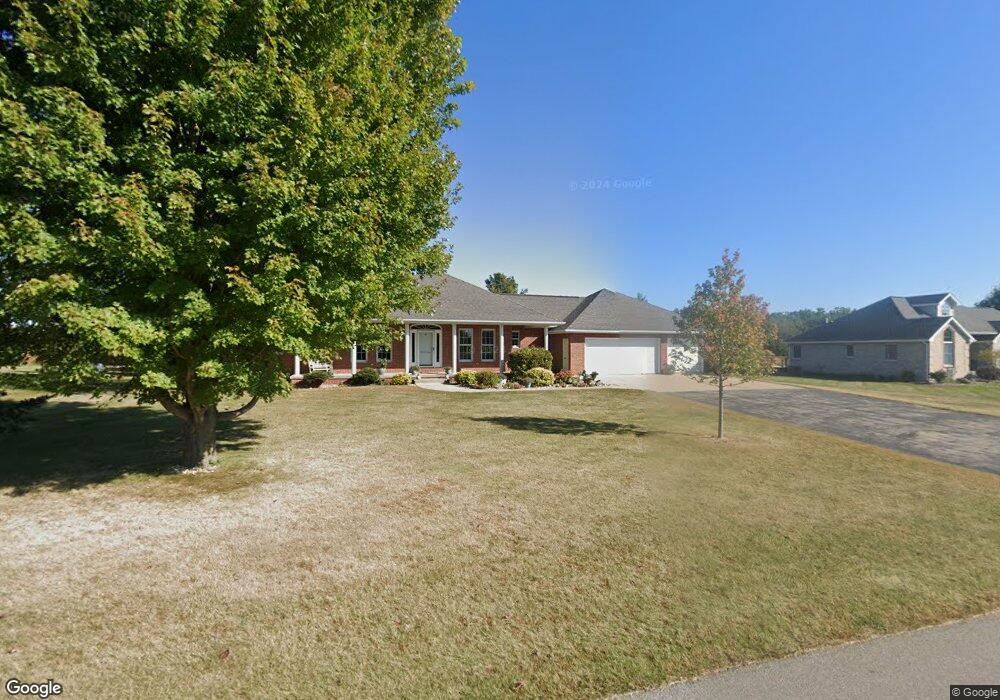
16351 189th St Manchester, IA 52057
Estimated Value: $369,000 - $464,000
5
Beds
4
Baths
1,885
Sq Ft
$231/Sq Ft
Est. Value
About This Home
This home is located at 16351 189th St, Manchester, IA 52057 and is currently estimated at $435,078, approximately $230 per square foot. 16351 189th St is a home located in Delaware County with nearby schools including Lambert Elementary School, West Delaware Middle School, and West Delaware High School.
Ownership History
Date
Name
Owned For
Owner Type
Purchase Details
Closed on
Feb 16, 2016
Sold by
Miller Mauy E
Bought by
Duggan Glenn E and Duggan Cathy
Current Estimated Value
Home Financials for this Owner
Home Financials are based on the most recent Mortgage that was taken out on this home.
Original Mortgage
$120,000
Interest Rate
3.97%
Mortgage Type
Purchase Money Mortgage
Create a Home Valuation Report for This Property
The Home Valuation Report is an in-depth analysis detailing your home's value as well as a comparison with similar homes in the area
Home Values in the Area
Average Home Value in this Area
Purchase History
| Date | Buyer | Sale Price | Title Company |
|---|---|---|---|
| Duggan Glenn E | $403,625 | None Available |
Source: Public Records
Mortgage History
| Date | Status | Borrower | Loan Amount |
|---|---|---|---|
| Closed | Duggan Glenn E | $120,000 |
Source: Public Records
Tax History Compared to Growth
Tax History
| Year | Tax Paid | Tax Assessment Tax Assessment Total Assessment is a certain percentage of the fair market value that is determined by local assessors to be the total taxable value of land and additions on the property. | Land | Improvement |
|---|---|---|---|---|
| 2025 | $4,730 | $438,100 | $64,400 | $373,700 |
| 2024 | $4,730 | $402,300 | $58,500 | $343,800 |
| 2023 | $4,292 | $402,300 | $58,500 | $343,800 |
| 2022 | $4,180 | $313,900 | $43,900 | $270,000 |
| 2021 | $4,086 | $313,900 | $43,900 | $270,000 |
| 2020 | $4,086 | $296,200 | $32,000 | $264,200 |
| 2019 | $3,418 | $253,200 | $0 | $0 |
| 2018 | $3,384 | $253,200 | $0 | $0 |
| 2017 | $3,260 | $241,600 | $0 | $0 |
| 2016 | $3,158 | $241,600 | $0 | $0 |
| 2015 | $3,078 | $224,800 | $0 | $0 |
| 2014 | $3,078 | $224,800 | $0 | $0 |
Source: Public Records
Map
Nearby Homes
- 16369 189th St
- 1817 Firefly Rd
- 1828 160th Ave
- 1911 Honey Creek Rd
- 0 Honey Creek Rd
- 1221 N 5th St
- 1633 N 2nd St
- 1729 162nd Ave
- 824 Tanglewood Dr
- 411 Seeley St
- 945 N Franklin St
- 1003 New St
- 708 N Franklin St
- 144 W Union St
- 1673 Firefly Rd
- 116 Liberty St
- 263 Meadow Brook Trail
- 820 Sherman Ave
- 106 E Honey Creek Dr
- 412 N Franklin St
- 16311 189th St
- 16359 189th St
- 16299 189th St
- 16312 189th St
- 16352 189th St
- 16360 189th St
- 16293 189th St
- 16294 189th St
- 16297 188th St
- 16372 189th St
- 16375 189th St
- 16378 189th St
- 18893 161st Ave
- 18919 161st Ave
- 18885 161st Ave
- 16386 189th St
- 18890 163rd Ave
- 18876 163rd Ave
- 18927 161st Ave
- 16390 189th St