16355 Twin Dr La Pine, OR 97739
Estimated Value: $129,728 - $543,000
--
Bed
--
Bath
--
Sq Ft
1.01
Acres
About This Home
This home is located at 16355 Twin Dr, La Pine, OR 97739 and is currently estimated at $301,432. 16355 Twin Dr is a home located in Deschutes County with nearby schools including La Pine Elementary School, La Pine Middle School, and La Pine Senior High School.
Ownership History
Date
Name
Owned For
Owner Type
Purchase Details
Closed on
May 17, 2019
Sold by
Eastwood Cindy L
Bought by
Eastwood Cindy L and Burnett Gerald Ben
Current Estimated Value
Purchase Details
Closed on
Sep 12, 2006
Sold by
Roylund Ltd
Bought by
Burnett Ben
Home Financials for this Owner
Home Financials are based on the most recent Mortgage that was taken out on this home.
Original Mortgage
$99,000
Outstanding Balance
$61,382
Interest Rate
7.37%
Mortgage Type
Unknown
Estimated Equity
$240,050
Purchase Details
Closed on
Sep 11, 2006
Sold by
Lundblad Roy W
Bought by
Roylund Ltd
Home Financials for this Owner
Home Financials are based on the most recent Mortgage that was taken out on this home.
Original Mortgage
$99,000
Outstanding Balance
$61,382
Interest Rate
7.37%
Mortgage Type
Unknown
Estimated Equity
$240,050
Purchase Details
Closed on
Apr 6, 2006
Sold by
Beeks Jerry S and Beeks Sharon L
Bought by
Lundblad Roy W
Create a Home Valuation Report for This Property
The Home Valuation Report is an in-depth analysis detailing your home's value as well as a comparison with similar homes in the area
Home Values in the Area
Average Home Value in this Area
Purchase History
| Date | Buyer | Sale Price | Title Company |
|---|---|---|---|
| Eastwood Cindy L | -- | None Available | |
| Burnett Ben | $110,000 | Deschutes County Title Co | |
| Roylund Ltd | -- | Deschutes County Title Co | |
| Lundblad Roy W | $95,000 | Deschutes County Title Co |
Source: Public Records
Mortgage History
| Date | Status | Borrower | Loan Amount |
|---|---|---|---|
| Open | Burnett Ben | $99,000 |
Source: Public Records
Tax History Compared to Growth
Tax History
| Year | Tax Paid | Tax Assessment Tax Assessment Total Assessment is a certain percentage of the fair market value that is determined by local assessors to be the total taxable value of land and additions on the property. | Land | Improvement |
|---|---|---|---|---|
| 2025 | $487 | $23,700 | -- | -- |
| 2024 | $470 | $23,010 | -- | -- |
| 2023 | $281 | $12,180 | $0 | $0 |
| 2022 | $256 | $11,490 | $0 | $0 |
| 2021 | $259 | $11,160 | $0 | $0 |
| 2020 | $249 | $11,160 | $0 | $0 |
| 2019 | $244 | $10,840 | $0 | $0 |
| 2018 | $239 | $10,530 | $0 | $0 |
| 2017 | $234 | $10,230 | $0 | $0 |
| 2016 | $227 | $9,940 | $0 | $0 |
| 2015 | $222 | $9,660 | $0 | $0 |
| 2014 | $217 | $9,380 | $0 | $0 |
Source: Public Records
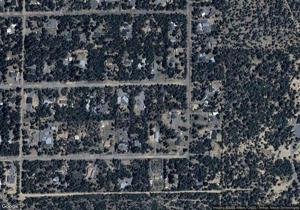
Map
Nearby Homes
- 16337 Lava Dr
- 16245 Sparks Dr
- 16523 Sprague Loop
- 16140 Sparks Dr
- 53622 Woodchuck Dr
- 16510 Shanks Ln
- 53623 Woodchuck Dr
- 53620 Woodchuck Dr
- 16506 Sprague Loop
- 16111 Lava Dr
- 53605 Bobwhite Ct
- 16203 Hawks Lair Rd
- 16042 Sparks Dr
- 16093 Blackfeather Ln
- 16047 Amber Ln
- 15685 Twin Dr
- 16157 Elkhorn Ln
- 15994 Camino de Oro
- 15957 Sparks Dr
- 53845 Pine Grove Rd