Estimated Value: $346,000 - $418,143
Studio
--
Bath
2,056
Sq Ft
$180/Sq Ft
Est. Value
About This Home
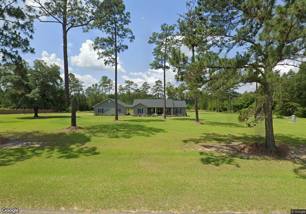
This home is located at 1639 Dixie Barwick Rd, Dixie, GA 31629 and is currently estimated at $370,714, approximately $180 per square foot. 1639 Dixie Barwick Rd is a home with nearby schools including Quitman Elementary School and Westbrook School.
Ownership History
Date
Name
Owned For
Owner Type
Purchase Details
Closed on
Apr 28, 2021
Sold by
Simpson Candace Lynn
Bought by
Price Kenneth E and Price Deborah C
Current Estimated Value
Purchase Details
Closed on
Mar 26, 2019
Sold by
Simpson Candace Lynn
Bought by
Brasington Clayton Dustin
Purchase Details
Closed on
Jan 5, 2018
Sold by
Higgins Brian
Bought by
Simpson Candace Lynn
Home Financials for this Owner
Home Financials are based on the most recent Mortgage that was taken out on this home.
Original Mortgage
$49,300
Interest Rate
3.94%
Mortgage Type
New Conventional
Purchase Details
Closed on
Sep 26, 2006
Sold by
W H Hadley Enterprise Inc
Bought by
Higgins Brian and Higgins Jill
Create a Home Valuation Report for This Property
The Home Valuation Report is an in-depth analysis detailing your home's value as well as a comparison with similar homes in the area
Purchase History
| Date | Buyer | Sale Price | Title Company |
|---|---|---|---|
| Price Kenneth E | $15,820 | -- | |
| Brasington Clayton Dustin | -- | -- | |
| Simpson Candace Lynn | $58,000 | -- | |
| Higgins Brian | $77,000 | -- |
Source: Public Records
Mortgage History
| Date | Status | Borrower | Loan Amount |
|---|---|---|---|
| Previous Owner | Simpson Candace Lynn | $49,300 |
Source: Public Records
Tax History
| Year | Tax Paid | Tax Assessment Tax Assessment Total Assessment is a certain percentage of the fair market value that is determined by local assessors to be the total taxable value of land and additions on the property. | Land | Improvement |
|---|---|---|---|---|
| 2025 | $3,788 | $137,080 | $21,760 | $115,320 |
| 2024 | $3,788 | $137,080 | $21,760 | $115,320 |
| 2023 | $3,491 | $121,880 | $19,760 | $102,120 |
| 2022 | $3,242 | $102,160 | $18,840 | $83,320 |
| 2021 | $3,080 | $97,080 | $20,440 | $76,640 |
| 2020 | $2,655 | $95,600 | $20,440 | $75,160 |
| 2019 | $611 | $20,840 | $20,840 | $0 |
| 2018 | $570 | $19,520 | $19,520 | $0 |
| 2017 | $590 | $19,520 | $19,520 | $0 |
| 2016 | $586 | $19,520 | $19,520 | $0 |
| 2015 | -- | $24,400 | $24,400 | $0 |
| 2014 | -- | $24,400 | $24,400 | $0 |
| 2013 | -- | $24,400 | $24,400 | $0 |
Source: Public Records
Map
Nearby Homes
- 5199 U S 84
- 431 Dry Lake Rd
- 2156 County Road 78
- Dixie Rd
- 9900 Ozell Rd
- 536 N Leaphart St
- 682 Salem Rd
- 611 Bn S Main St
- 612-BN W Railroad Ave
- 800 Clifford St
- 7402 Coffee Rd
- 1038-BA Church St
- 804 Westlake Dr
- 309 Eastlake Dr
- 1001 W Bartow St
- 901 W Boundary St
- 146 Old Highway 84 W
- 304 W Rountree St
- 203 W Gordon St
- 606 N Court St
- 1845 Dixie Barwick Rd
- 1899 Dixie Barwick Rd
- 1548 Dixie Barwick Rd
- 430 Simpson Rd
- 329 Simpson Rd
- 3193 Old Thomasville Rd
- 200 Simpson Rd
- 267 Simpson Rd
- 1432 Dixie Barwick Rd
- 3003 Old Thomasville Rd
- 3305 Old Thomasville Rd
- 3004 Old Thomasville Rd
- 00 Dixie Barwick Road Hutchinson
- 1245 Dixie Barwick Rd
- 2085 Dixie Barwick Rd
- 2115 Dixie Barwick Rd
- 2221 Dixie Barwick Rd
- 3501 Old Thomasville Rd
- 3501 Old Thomasville Rd
- 2206 Dixie Barwick Rd
Your Personal Tour Guide
Ask me questions while you tour the home.