Estimated Value: $173,213 - $478,000
--
Bed
2
Baths
2,356
Sq Ft
$128/Sq Ft
Est. Value
About This Home
This home is located at 1639 Uppr Stndg Rock Rd Unit RD1639, Dover, TN 37058 and is currently estimated at $301,303, approximately $127 per square foot. 1639 Uppr Stndg Rock Rd Unit RD1639 is a home located in Stewart County with nearby schools including Dover Elementary School, Stewart County Middle School, and Stewart County High School.
Ownership History
Date
Name
Owned For
Owner Type
Purchase Details
Closed on
Jul 31, 2013
Sold by
Keese Christopher H
Bought by
Lambeth Robert M
Current Estimated Value
Purchase Details
Closed on
Jul 15, 1998
Bought by
Not Available
Purchase Details
Closed on
Jun 25, 1998
Bought by
Keese Christopher and Keese Anjanette K
Purchase Details
Closed on
Nov 17, 1988
Bought by
Grissom Roy and Grissom Carol
Create a Home Valuation Report for This Property
The Home Valuation Report is an in-depth analysis detailing your home's value as well as a comparison with similar homes in the area
Home Values in the Area
Average Home Value in this Area
Purchase History
| Date | Buyer | Sale Price | Title Company |
|---|---|---|---|
| Lambeth Robert M | $92,500 | -- | |
| -- | -- | -- | |
| Keese Christopher | $17,000 | -- | |
| Grissom Roy | $9,300 | -- |
Source: Public Records
Mortgage History
| Date | Status | Borrower | Loan Amount |
|---|---|---|---|
| Previous Owner | Keese Christopher | $15,355 |
Source: Public Records
Tax History Compared to Growth
Tax History
| Year | Tax Paid | Tax Assessment Tax Assessment Total Assessment is a certain percentage of the fair market value that is determined by local assessors to be the total taxable value of land and additions on the property. | Land | Improvement |
|---|---|---|---|---|
| 2024 | $450 | $30,250 | $7,725 | $22,525 |
| 2023 | $447 | $18,950 | $5,800 | $13,150 |
| 2022 | $447 | $18,950 | $5,800 | $13,150 |
| 2021 | $447 | $18,950 | $5,800 | $13,150 |
| 2020 | $451 | $18,950 | $5,800 | $13,150 |
| 2019 | $451 | $17,675 | $5,200 | $12,475 |
| 2018 | $451 | $17,675 | $5,200 | $12,475 |
| 2017 | $451 | $17,675 | $5,200 | $12,475 |
| 2016 | $451 | $17,675 | $5,200 | $12,475 |
| 2015 | $437 | $17,675 | $5,200 | $12,475 |
| 2014 | $631 | $25,900 | $5,200 | $20,700 |
| 2013 | $631 | $25,547 | $0 | $0 |
Source: Public Records
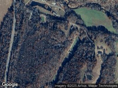
Map
Nearby Homes
- 1639 Uppr Stndg Rock Rd Unit RD1639
- 1671 Uppr Stndg Rock Rd Unit RD1671
- 1683 Upper Standing Rock Rd
- 1637 Upper Standing Rock Rd
- 149 Creekside Cir
- 105 Creekside Cir
- 1633 Uppr Stndg Rock Rd Unit RD1633
- 686 Highway 232
- 1605 Upper Standing Rock Rd
- 1605 Upper Standing Rock Rd Unit RD1605
- 670 Highway 232
- 833 Cox Hollow Rd
- 653 Highway 232
- 827 Cox Hollow Rd
- 831 Cox Hollow Rd
- 815 Cox Hollow Rd
- 1469 Uppr Stndg Rock Rd Unit RD1469
- 1468 Upper Standing Rock Rd Unit RD1468
- 1468 Upper Standing Rock Rd
- 3523 Upper Standing Rock Rd