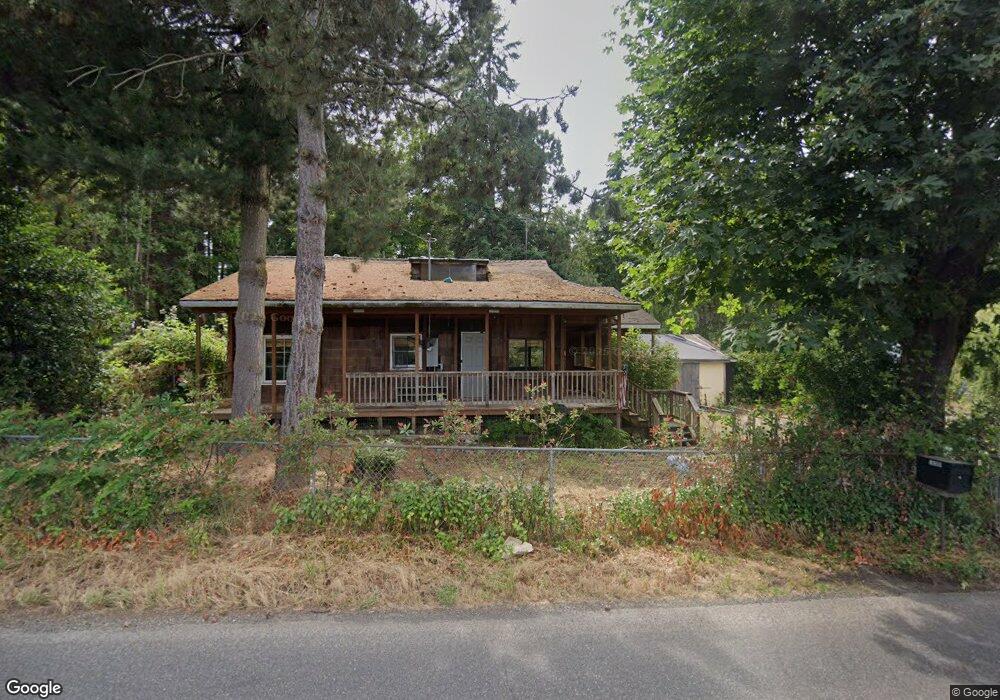
16399 SE Tong Rd Damascus, OR 97089
Estimated Value: $536,361 - $621,000
3
Beds
1
Bath
1,898
Sq Ft
$309/Sq Ft
Est. Value
About This Home
This home is located at 16399 SE Tong Rd, Damascus, OR 97089 and is currently estimated at $587,090, approximately $309 per square foot. 16399 SE Tong Rd is a home located in Clackamas County with nearby schools including Verne A Duncan Elementary School, Happy Valley Middle School, and Damascus Christian School.
Ownership History
Date
Name
Owned For
Owner Type
Purchase Details
Closed on
Apr 12, 2007
Sold by
Justice Neal E
Bought by
Chamberlin Cheryl K
Current Estimated Value
Purchase Details
Closed on
Apr 1, 1999
Sold by
Justice Neal E and Justice Patricia A
Bought by
Justice Neal E and Justice Patricia A
Home Financials for this Owner
Home Financials are based on the most recent Mortgage that was taken out on this home.
Original Mortgage
$75,000
Interest Rate
6.79%
Create a Home Valuation Report for This Property
The Home Valuation Report is an in-depth analysis detailing your home's value as well as a comparison with similar homes in the area
Home Values in the Area
Average Home Value in this Area
Purchase History
| Date | Buyer | Sale Price | Title Company |
|---|---|---|---|
| Chamberlin Cheryl K | $120,000 | Ticor Title Insurance Compan | |
| Justice Neal E | -- | Ticor Title Insurance |
Source: Public Records
Mortgage History
| Date | Status | Borrower | Loan Amount |
|---|---|---|---|
| Previous Owner | Justice Neal E | $75,000 |
Source: Public Records
Tax History Compared to Growth
Tax History
| Year | Tax Paid | Tax Assessment Tax Assessment Total Assessment is a certain percentage of the fair market value that is determined by local assessors to be the total taxable value of land and additions on the property. | Land | Improvement |
|---|---|---|---|---|
| 2025 | $3,672 | $208,670 | -- | -- |
| 2024 | $3,539 | $202,593 | -- | -- |
| 2023 | $3,539 | $196,693 | $0 | $0 |
| 2022 | $3,246 | $190,965 | $0 | $0 |
| 2021 | $3,125 | $185,403 | $0 | $0 |
| 2020 | $3,023 | $180,003 | $0 | $0 |
| 2019 | $2,983 | $174,761 | $0 | $0 |
| 2018 | $2,585 | $169,671 | $0 | $0 |
| 2017 | $2,500 | $164,729 | $0 | $0 |
| 2016 | $2,408 | $159,931 | $0 | $0 |
| 2015 | $2,685 | $155,273 | $0 | $0 |
| 2014 | $2,542 | $150,750 | $0 | $0 |
Source: Public Records
Map
Nearby Homes
- 17156 SE Macanudo St
- 18680 SE Highway 212
- 0 SE Armstrong Cir
- 15694 SE Upman Way
- 18027 SE Emi St
- 16381 SE Deer Meadow Loop
- 15566 SE Melinda Ct
- 16911 SE Siri Ct
- 16566 SE Deer Meadow Loop
- 15556 SE Gladys Rose Way
- 14790 SE 172nd Ave
- 14543 SE West Park Ct
- 14548 SE 172nd Ave
- 20320 SE Walgren Rd
- 16400 SE Highway 224
- 16300 SE Highway 224 Unit 8
- 14120 SE Brent Ave
- 16265 SE Highway 224
- 15786 SE Jansik Ct
- 16300 Oregon 224 Unit 10
- 16425 SE Tong Rd
- 16441 SE Tong Rd
- 16255 SE Tong Rd
- 16211 SE Tong Rd
- 16420 SE Tong Rd
- 16200 SE Tong Rd
- 16411 SE Tong Rd
- 16301 SE Tong Rd
- 16449 SE Tong Rd
- 16151 SE Tong Rd
- 16511 SE Tong Rd
- 16116 SE Tong Rd
- 16390 SE Bel Air Dr
- 16150 SE Tong Rd
- 16611 SE Tong Rd
- 16599 SE Tong Rd
- 16300 SE Bel Air Dr
- 16085 SE Tong Rd
- 16560 SE Bel Air Dr
- 16240 SE Bel Air Dr