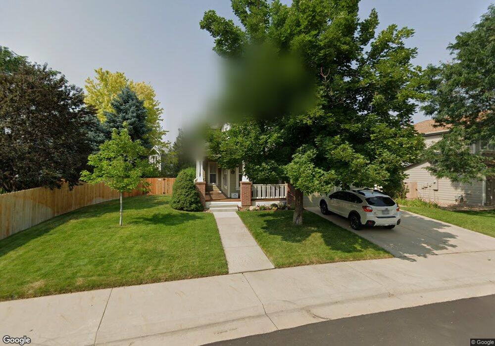
16413 Homestead Ct Parker, CO 80134
Bradbury Ranch NeighborhoodEstimated Value: $620,048 - $682,000
3
Beds
3
Baths
2,203
Sq Ft
$292/Sq Ft
Est. Value
About This Home
This home is located at 16413 Homestead Ct, Parker, CO 80134 and is currently estimated at $642,762, approximately $291 per square foot. 16413 Homestead Ct is a home located in Douglas County with nearby schools including Prairie Crossing Elementary School, Sierra Middle School, and Chaparral High School.
Ownership History
Date
Name
Owned For
Owner Type
Purchase Details
Closed on
Aug 31, 2000
Sold by
Mackenzie Homes Colorado Llc
Bought by
Dreiling Ronald E and Dreiling Elizabeth K
Current Estimated Value
Home Financials for this Owner
Home Financials are based on the most recent Mortgage that was taken out on this home.
Original Mortgage
$160,000
Outstanding Balance
$58,769
Interest Rate
8.21%
Estimated Equity
$583,993
Purchase Details
Closed on
Aug 12, 1999
Sold by
Amrepco Inc
Bought by
Mackenzie Homes Colo
Create a Home Valuation Report for This Property
The Home Valuation Report is an in-depth analysis detailing your home's value as well as a comparison with similar homes in the area
Home Values in the Area
Average Home Value in this Area
Purchase History
| Date | Buyer | Sale Price | Title Company |
|---|---|---|---|
| Dreiling Ronald E | $226,910 | Land Title | |
| Mackenzie Homes Colo | $306,000 | -- |
Source: Public Records
Mortgage History
| Date | Status | Borrower | Loan Amount |
|---|---|---|---|
| Open | Dreiling Ronald E | $160,000 |
Source: Public Records
Tax History Compared to Growth
Tax History
| Year | Tax Paid | Tax Assessment Tax Assessment Total Assessment is a certain percentage of the fair market value that is determined by local assessors to be the total taxable value of land and additions on the property. | Land | Improvement |
|---|---|---|---|---|
| 2024 | $3,389 | $42,490 | $9,290 | $33,200 |
| 2023 | $3,430 | $42,490 | $9,290 | $33,200 |
| 2022 | $2,790 | $32,270 | $6,290 | $25,980 |
| 2021 | $2,905 | $32,270 | $6,290 | $25,980 |
| 2020 | $2,745 | $31,010 | $6,900 | $24,110 |
| 2019 | $2,762 | $31,010 | $6,900 | $24,110 |
| 2018 | $2,497 | $27,320 | $6,220 | $21,100 |
| 2017 | $2,317 | $27,320 | $6,220 | $21,100 |
| 2016 | $2,174 | $25,160 | $5,010 | $20,150 |
| 2015 | $2,213 | $25,160 | $5,010 | $20,150 |
| 2014 | $2,066 | $20,940 | $5,010 | $15,930 |
Source: Public Records
Map
Nearby Homes
- 11029 Grouse Ct
- 10818 Mcclellan Rd
- 16181 White Hawk Dr
- 16135 Peregrine Dr
- 16116 Martingale Dr
- 11300 Night Heron Dr
- 11310 Night Heron Dr
- 11367 S Blackthorn Ct
- 11343 Bradbury Ranch Dr
- 10858 Willow Reed Cir E
- 15902 Stringhalt Way
- 16641 Martingale Dr
- 11387 S Blackthorn Ct
- 11206 Keota St
- 10834 Snowdon St
- 10828 Snowdon St
- 10896 Snowdon St
- 10968 Snowdon St
- 15980 Donegal Ave
- 17024 E Carr Ave
- 16419 Homestead Ct
- 10974 Dearborne Dr
- 10970 Dearborne Dr
- 10980 Dearborne Dr
- 10964 Dearborne Dr
- 16429 Homestead Ct
- 16414 Homestead Ct
- 16418 Homestead Ct
- 10960 Dearborne Dr
- 16439 Homestead Ct
- 16406 Homestead Ct
- 16424 Homestead Ct
- 10954 Dearborne Dr
- 16404 Homestead Ct
- 16428 Homestead Ct
- 16443 Homestead Ct
- 10969 Dearborne Dr
- 10975 Dearborne Dr
- 10965 Dearborne Dr
- 10979 Dearborne Dr