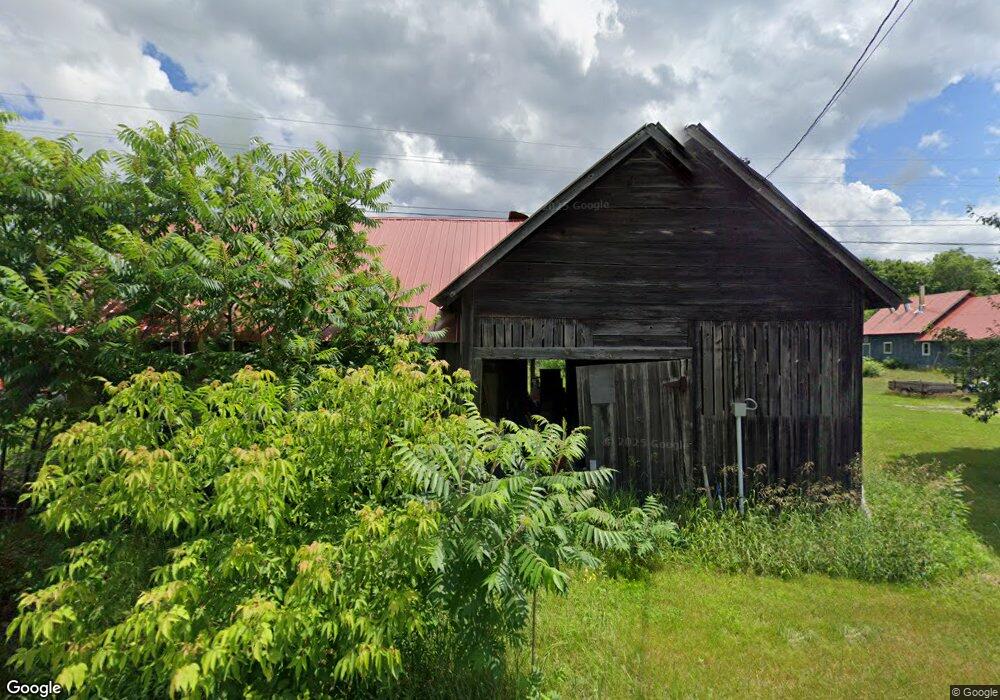
1643 Littleton Rd Monroe, NH 03771
Estimated Value: $410,995 - $518,000
5
Beds
1
Bath
2,716
Sq Ft
$172/Sq Ft
Est. Value
About This Home
This home is located at 1643 Littleton Rd, Monroe, NH 03771 and is currently estimated at $466,999, approximately $171 per square foot. 1643 Littleton Rd is a home with nearby schools including Monroe Consolidated School.
Create a Home Valuation Report for This Property
The Home Valuation Report is an in-depth analysis detailing your home's value as well as a comparison with similar homes in the area
Home Values in the Area
Average Home Value in this Area
Tax History Compared to Growth
Tax History
| Year | Tax Paid | Tax Assessment Tax Assessment Total Assessment is a certain percentage of the fair market value that is determined by local assessors to be the total taxable value of land and additions on the property. | Land | Improvement |
|---|---|---|---|---|
| 2024 | $3,799 | $356,400 | $82,100 | $274,300 |
| 2023 | $3,468 | $356,400 | $82,100 | $274,300 |
| 2022 | $2,631 | $215,800 | $71,600 | $144,200 |
| 2020 | $2,585 | $215,800 | $71,600 | $144,200 |
| 2019 | $2,447 | $215,800 | $71,600 | $144,200 |
| 2018 | $2,307 | $215,800 | $71,600 | $144,200 |
| 2016 | $2,265 | $199,700 | $62,100 | $137,600 |
| 2015 | $2,101 | $199,700 | $62,100 | $137,600 |
| 2014 | $2,405 | $200,600 | $62,100 | $138,500 |
| 2012 | $2,836 | $250,300 | $80,000 | $170,300 |
Source: Public Records
Map
Nearby Homes
- 396 Nelson Rd
- 1291 Littleton Rd
- 342 Grange Hall Rd
- 1573 Us Route 5 S
- 286 Carter St
- 88 Mill Hill
- 433 Grange Hall Rd
- 00 Coppermine Rd Unit 59
- 391 Bimson Dr
- 4615 U S 5
- 4706 Us Route 5 S
- 0 Denio Rd Unit 5059200
- 0 Denio Rd Unit 5059211
- 0 Denio Rd Unit 5059215
- 0 Denio Rd Unit 24587948
- 0 Denio Rd
- 0 Denio Rd Unit 5059206
- 0 Denio Rd Unit 24587953
- - Denio Rd
- 630 Plains Rd