1643 Poplar Dr Red Wing, MN 55066
Estimated Value: $266,000 - $285,011
3
Beds
2
Baths
2,316
Sq Ft
$119/Sq Ft
Est. Value
About This Home
This home is located at 1643 Poplar Dr, Red Wing, MN 55066 and is currently estimated at $275,003, approximately $118 per square foot. 1643 Poplar Dr is a home located in Goodhue County with nearby schools including Sunnyside Elementary School, Burnside Elementary School, and Twin Bluff Middle School.
Ownership History
Date
Name
Owned For
Owner Type
Purchase Details
Closed on
Jun 30, 2020
Sold by
Christianson Steven M
Bought by
Rudich Srijitha and Rudich Richard
Current Estimated Value
Home Financials for this Owner
Home Financials are based on the most recent Mortgage that was taken out on this home.
Original Mortgage
$198,850
Outstanding Balance
$176,654
Interest Rate
3.2%
Mortgage Type
New Conventional
Estimated Equity
$98,349
Purchase Details
Closed on
Oct 15, 2015
Sold by
Christianson Burton S and Christianson Mary B
Bought by
Christianson Steven M
Create a Home Valuation Report for This Property
The Home Valuation Report is an in-depth analysis detailing your home's value as well as a comparison with similar homes in the area
Home Values in the Area
Average Home Value in this Area
Purchase History
We collect this data history from publicly available records. To have your information removed, we recommend requesting removal directly through your county’s website.
| Date | Buyer | Sale Price | Title Company |
|---|---|---|---|
| Rudich Srijitha | $205,000 | Knight Barry Ttl United Llc | |
| Christianson Steven M | $157,000 | Goodhue County Abstract |
Source: Public Records
Mortgage History
We collect this data history from publicly available records. To have your information removed, we recommend requesting removal directly through your county’s website.
| Date | Status | Borrower | Loan Amount |
|---|---|---|---|
| Open | Rudich Srijitha | $198,850 |
Source: Public Records
Tax History
| Year | Tax Paid | Tax Assessment Tax Assessment Total Assessment is a certain percentage of the fair market value that is determined by local assessors to be the total taxable value of land and additions on the property. | Land | Improvement |
|---|---|---|---|---|
| 2025 | $3,338 | $268,500 | $54,900 | $213,600 |
| 2024 | $3,310 | $264,100 | $54,900 | $209,200 |
| 2023 | $3,330 | $250,600 | $55,000 | $195,600 |
| 2022 | $2,814 | $238,400 | $44,200 | $194,200 |
| 2021 | $2,206 | $204,200 | $44,200 | $160,000 |
| 2020 | $2,186 | $167,900 | $44,200 | $123,700 |
| 2019 | $2,190 | $157,100 | $44,200 | $112,900 |
| 2018 | $1,750 | $158,900 | $42,600 | $116,300 |
| 2017 | $1,702 | $140,400 | $42,600 | $97,800 |
| 2016 | $1,572 | $138,600 | $42,600 | $96,000 |
| 2015 | $1,474 | $135,200 | $42,600 | $92,600 |
| 2014 | -- | $127,700 | $42,600 | $85,100 |
Source: Public Records
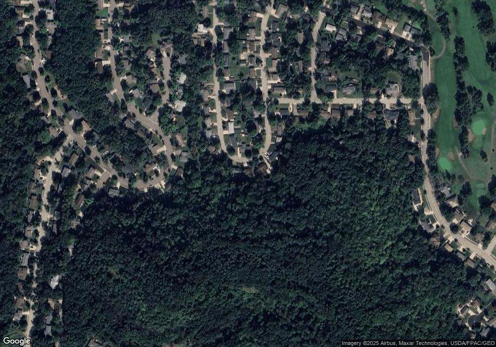
Map
Nearby Homes
- 1617 Poplar Dr
- 1617 Woodland Dr
- 1773 Neal St
- 1617 Alvina St
- 1330 Hillside Dr
- 1348 Hillside Dr
- 1825 Perlich Ave Unit 106
- 1978 Neal St
- 703 Jefferson St
- 1828 Perlich Ave Unit 2B
- 1828 Perlich Ave Unit 2G
- 1606 Reichert Ave
- 1743 Reichert Ave
- 1708 W 5th St
- 1842 W 6th St
- 1050 Sturtevant St
- 1067 Pioneer Rd
- 1105 W 4th St
- 818 Hawthorne St
- 1020 Pioneer Rd
- 1638 Birchwood Dr
- 1637 Poplar Dr
- 1629 Poplar Dr
- 1622 Poplar Dr
- 27926 Poplar Ridge Trail
- 1623 Poplar Dr
- 1612 Poplar Dr
- 1622 Birchwood Dr
- 1613 Birchwood Dr
- 1614 Birchwood Dr
- 1604 Poplar Dr
- 1605 Birchwood Dr
- 1679 Woodland Dr
- 1671 Woodland Dr
- 1415 Red Oak Ave
- 1608 Birchwood Dr
- 1405 Red Oak Ave
- 1560 Poplar Dr
- 1659 Woodland Dr
- 1585 Birchwood Dr
Your Personal Tour Guide
Ask me questions while you tour the home.