16449 SE Tong Rd Damascus, OR 97089
Estimated Value: $698,000 - $809,000
4
Beds
3
Baths
2,535
Sq Ft
$303/Sq Ft
Est. Value
About This Home
This home is located at 16449 SE Tong Rd, Damascus, OR 97089 and is currently estimated at $767,750, approximately $302 per square foot. 16449 SE Tong Rd is a home located in Clackamas County with nearby schools including Verne A Duncan Elementary School, Happy Valley Middle School, and Damascus Christian School.
Ownership History
Date
Name
Owned For
Owner Type
Purchase Details
Closed on
Jan 7, 2025
Sold by
Evey Dan and Evey Julie
Bought by
Evey Family Trust and Evey
Current Estimated Value
Purchase Details
Closed on
Mar 31, 2020
Sold by
Hodge Carla Rae and Abbott Ryan Lee
Bought by
Evey Dan and Evey Julie
Purchase Details
Closed on
Dec 29, 2009
Sold by
Mortensen Harold L
Bought by
Evey Dan and Evey Julie
Home Financials for this Owner
Home Financials are based on the most recent Mortgage that was taken out on this home.
Original Mortgage
$227,741
Interest Rate
4.78%
Mortgage Type
Seller Take Back
Create a Home Valuation Report for This Property
The Home Valuation Report is an in-depth analysis detailing your home's value as well as a comparison with similar homes in the area
Home Values in the Area
Average Home Value in this Area
Purchase History
| Date | Buyer | Sale Price | Title Company |
|---|---|---|---|
| Evey Family Trust | -- | None Listed On Document | |
| Evey Family Trust | -- | None Listed On Document | |
| Evey Dan | -- | None Available | |
| Evey Dan | $275,000 | None Available |
Source: Public Records
Mortgage History
| Date | Status | Borrower | Loan Amount |
|---|---|---|---|
| Previous Owner | Evey Dan | $227,741 |
Source: Public Records
Tax History Compared to Growth
Tax History
| Year | Tax Paid | Tax Assessment Tax Assessment Total Assessment is a certain percentage of the fair market value that is determined by local assessors to be the total taxable value of land and additions on the property. | Land | Improvement |
|---|---|---|---|---|
| 2025 | $7,813 | $444,045 | -- | -- |
| 2024 | $7,531 | $431,112 | -- | -- |
| 2023 | $7,531 | $418,556 | $0 | $0 |
| 2022 | $6,908 | $406,366 | $0 | $0 |
| 2021 | $5,831 | $345,966 | $0 | $0 |
| 2020 | $4,818 | $286,860 | $0 | $0 |
| 2019 | $4,754 | $278,505 | $0 | $0 |
| 2018 | $4,120 | $270,393 | $0 | $0 |
| 2017 | $3,985 | $262,517 | $0 | $0 |
| 2016 | $3,838 | $254,871 | $0 | $0 |
| 2015 | $4,279 | $247,448 | $0 | $0 |
| 2014 | $4,050 | $240,241 | $0 | $0 |
Source: Public Records
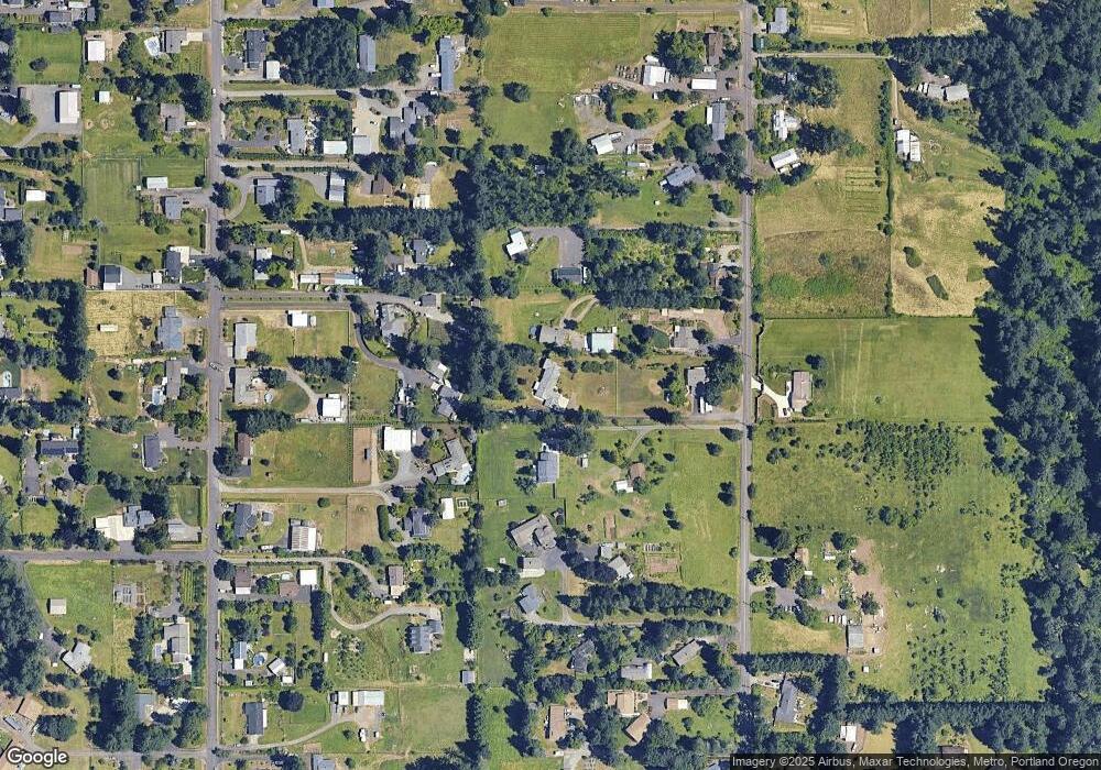
Map
Nearby Homes
- 17156 SE Macanudo St
- 17063 SE Macanudo St
- 0 SE Armstrong Cir
- 18680 SE Highway 212
- 16381 SE Deer Meadow Loop
- 16566 SE Deer Meadow Loop
- 16911 SE Siri Ct
- 15566 SE Melinda Ct
- 18027 SE Emi St
- 15556 SE Gladys Rose Way
- 14790 SE 172nd Ave
- 14548 SE 172nd Ave
- 14543 SE West Park Ct
- 16400 SE Highway 224
- 16300 SE Highway 224 Unit 8
- 16265 SE Highway 224
- 15786 SE Jansik Ct
- 20320 SE Walgren Rd
- 16300 Oregon 224 Unit 10
- 14120 SE Brent Ave
- 16411 SE Tong Rd
- 16390 SE Bel Air Dr
- 16560 SE Bel Air Dr
- 16301 SE Tong Rd
- 16511 SE Tong Rd
- 16425 SE Tong Rd
- 16599 SE Tong Rd
- 16441 SE Tong Rd
- 16380 SE Bel Air Dr
- 16580 SE Bel Air Dr
- 16300 SE Bel Air Dr
- 16611 SE Tong Rd
- 16399 SE Tong Rd
- 16685 SE Tong Rd
- 16650 SE Bel Air Dr
- 16240 SE Bel Air Dr
- 16255 SE Tong Rd
- 16695 SE Tong Rd
- 16420 SE Tong Rd
- 16216 SE Bel Air Dr