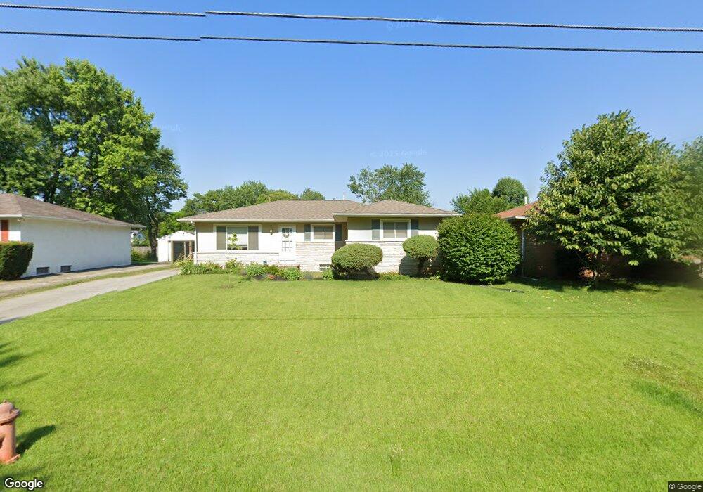
1645 Barnett Rd Columbus, OH 43227
Linwood NeighborhoodEstimated Value: $222,858 - $265,000
4
Beds
2
Baths
1,456
Sq Ft
$164/Sq Ft
Est. Value
About This Home
This home is located at 1645 Barnett Rd, Columbus, OH 43227 and is currently estimated at $238,715, approximately $163 per square foot. 1645 Barnett Rd is a home located in Franklin County with nearby schools including Scottwood Elementary School, Johnson Park Middle School, and Walnut Ridge High School.
Ownership History
Date
Name
Owned For
Owner Type
Purchase Details
Closed on
Aug 8, 2012
Sold by
Sheridan Philip H and Sheridan Julann M
Bought by
Sherdian John W and Sherdian Farrynn L
Current Estimated Value
Home Financials for this Owner
Home Financials are based on the most recent Mortgage that was taken out on this home.
Original Mortgage
$42,000
Outstanding Balance
$6,417
Interest Rate
2.85%
Mortgage Type
New Conventional
Estimated Equity
$232,298
Purchase Details
Closed on
Mar 13, 1973
Bought by
Sheridan Philip H
Create a Home Valuation Report for This Property
The Home Valuation Report is an in-depth analysis detailing your home's value as well as a comparison with similar homes in the area
Home Values in the Area
Average Home Value in this Area
Purchase History
| Date | Buyer | Sale Price | Title Company |
|---|---|---|---|
| Sherdian John W | $78,000 | None Available | |
| Sheridan Philip H | -- | -- |
Source: Public Records
Mortgage History
| Date | Status | Borrower | Loan Amount |
|---|---|---|---|
| Open | Sherdian John W | $42,000 |
Source: Public Records
Tax History Compared to Growth
Tax History
| Year | Tax Paid | Tax Assessment Tax Assessment Total Assessment is a certain percentage of the fair market value that is determined by local assessors to be the total taxable value of land and additions on the property. | Land | Improvement |
|---|---|---|---|---|
| 2024 | $4,392 | $65,490 | $15,960 | $49,530 |
| 2023 | $2,902 | $65,485 | $15,960 | $49,525 |
| 2022 | $2,711 | $34,830 | $8,610 | $26,220 |
| 2021 | $1,810 | $34,830 | $8,610 | $26,220 |
| 2020 | $1,812 | $34,830 | $8,610 | $26,220 |
| 2019 | $1,735 | $28,600 | $7,180 | $21,420 |
| 2018 | $1,720 | $28,600 | $7,180 | $21,420 |
| 2017 | $1,809 | $28,600 | $7,180 | $21,420 |
| 2016 | $1,883 | $28,430 | $4,940 | $23,490 |
| 2015 | $1,710 | $28,430 | $4,940 | $23,490 |
| 2014 | $1,714 | $28,430 | $4,940 | $23,490 |
| 2013 | $940 | $31,605 | $5,495 | $26,110 |
Source: Public Records
Map
Nearby Homes
- 3246 E Deshler Ave
- 1664 Barnett Rd
- 1624 Miltwood Rd
- 3325 E Deshler Ave
- 1778 Quigley Rd
- 3084 Clermont Rd
- 1637 S James Rd
- 1304 Byron Ave
- 1836 Penfield Ct S
- 3566 Seabrook Ave
- 1271 S Weyant Ave
- 2894 Landon Dr
- 2903 Scottwood Rd
- 1782 Newfield Rd
- 1677 Kenview Rd
- 1535 Kenwick Rd
- 2844 Kingsrowe Ct Unit 27
- 3038 Wadsworth Ct
- 2846 Petzinger Rd Unit 70
- 3036 Wadsworth Ct
- 1653 Barnett Rd
- 1637 Barnett Rd
- 1655 Barnett Rd
- 3261 LIV Moor Dr
- 1625 Barnett Rd
- 3261 Livmoor Dr
- 1634 LIV Moor Ct
- 3255 LIV Moor Dr
- 1628 LIV Moor Ct
- 3242 E Deshler Ave
- 3238 E Deshler Ave
- 1654 Barnett Rd
- 1600 Barnett Rd
- 3243 LIV Moor Dr
- 3230 E Deshler Ave
- 0 LIV Moor Ct
- 3291 LIV Moor Dr
- 1640 LIV Moor Ct
- 3220 E Deshler Ave
- 3282 E Deshler Ave