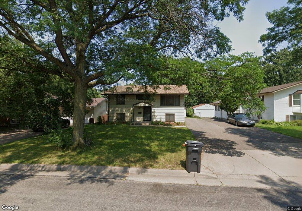
1647 Leone Ave Saint Paul, MN 55106
Battle Creek NeighborhoodEstimated Value: $304,605 - $326,000
4
Beds
2
Baths
952
Sq Ft
$331/Sq Ft
Est. Value
About This Home
This home is located at 1647 Leone Ave, Saint Paul, MN 55106 and is currently estimated at $315,401, approximately $331 per square foot. 1647 Leone Ave is a home located in Ramsey County with nearby schools including Highwood Hills Elementary School, Battle Creek Middle School, and Harding Senior High School.
Ownership History
Date
Name
Owned For
Owner Type
Purchase Details
Closed on
Jan 8, 2019
Sold by
Xiong Thao Property Services Llc
Bought by
Na Ya and Mar Can
Current Estimated Value
Home Financials for this Owner
Home Financials are based on the most recent Mortgage that was taken out on this home.
Original Mortgage
$232,800
Outstanding Balance
$204,679
Interest Rate
4.6%
Mortgage Type
New Conventional
Estimated Equity
$110,722
Purchase Details
Closed on
Aug 11, 2017
Sold by
Kliink Yvonne B and Kliink Yvonne Bemice
Bought by
Xiong Soua
Create a Home Valuation Report for This Property
The Home Valuation Report is an in-depth analysis detailing your home's value as well as a comparison with similar homes in the area
Home Values in the Area
Average Home Value in this Area
Purchase History
| Date | Buyer | Sale Price | Title Company |
|---|---|---|---|
| Na Ya | $240,000 | Titlesmart Inc | |
| Xiong Soua | $129,818 | None Available |
Source: Public Records
Mortgage History
| Date | Status | Borrower | Loan Amount |
|---|---|---|---|
| Open | Na Ya | $232,800 |
Source: Public Records
Tax History Compared to Growth
Tax History
| Year | Tax Paid | Tax Assessment Tax Assessment Total Assessment is a certain percentage of the fair market value that is determined by local assessors to be the total taxable value of land and additions on the property. | Land | Improvement |
|---|---|---|---|---|
| 2025 | $4,310 | $284,800 | $32,800 | $252,000 |
| 2023 | $4,310 | $285,500 | $32,800 | $252,700 |
| 2022 | $3,766 | $264,100 | $32,800 | $231,300 |
| 2021 | $3,556 | $241,000 | $32,800 | $208,200 |
| 2020 | $3,182 | $236,000 | $32,800 | $203,200 |
| 2019 | $2,852 | $200,500 | $32,800 | $167,700 |
| 2018 | $2,724 | $174,000 | $32,800 | $141,200 |
| 2017 | $2,834 | $178,600 | $28,900 | $149,700 |
| 2016 | $2,680 | $0 | $0 | $0 |
| 2015 | $2,756 | $162,100 | $28,900 | $133,200 |
| 2014 | $2,576 | $0 | $0 | $0 |
Source: Public Records
Map
Nearby Homes
- 237 Sigurd St
- 1747 Louise Ave
- 267 Hazelwood St
- 201 Dora Ct W
- 1600 Old Hudson Rd
- 125 Battle Creek Place
- 136 White Bear Ave N
- 49 Battle Creek Place
- 1538 Wilson Ave
- 1821 Wilson Ave
- 1935 Warbler Ln
- 244 Point Douglas Rd N
- 1685 Fremont Ave
- 1333 Pacific St
- 1989 N Park Dr
- 271 English St
- 500 Etna St Unit 104
- 1450 Fremont Ave
- 138 Ruth St N Unit 9
- 1320 Wilson Ave
- 1653 Leone Ave
- 1653 1653 Leone Ave
- 1641 Leone Ave
- 1659 Leone Ave
- 1631 Leone Ave
- 1665 Leone Ave
- 247 Kennard St
- 1640 Leone Ave
- 1640 1640 Leone Ave
- 1619 Leone Ave
- 246 Kennard St
- 1660 Burns Ave
- 1642 Burns Ave
- 246 Kennard St
- 1638 Leone Ave
- 1671 Leone Ave
- 1673 Leone Ave E
- 1656 Burns Ave
- 1670 Burns Ave
- 235 Kennard St