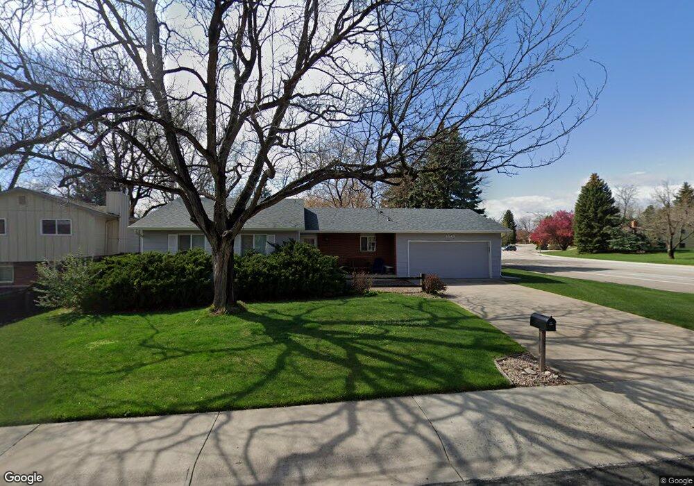
1649 Independence Rd Fort Collins, CO 80526
Estimated Value: $494,420 - $546,000
3
Beds
2
Baths
1,212
Sq Ft
$427/Sq Ft
Est. Value
About This Home
This home is located at 1649 Independence Rd, Fort Collins, CO 80526 and is currently estimated at $517,355, approximately $426 per square foot. 1649 Independence Rd is a home located in Larimer County with nearby schools including Bennett Elementary School, Blevins Middle School, and Rocky Mountain High School.
Ownership History
Date
Name
Owned For
Owner Type
Purchase Details
Closed on
Oct 15, 2020
Sold by
Fischer Mary C
Bought by
Revocable Tr Of Mary Catherine Fischer
Current Estimated Value
Purchase Details
Closed on
Oct 18, 1999
Sold by
Crain David C Fischer Mary C
Bought by
Fischer Mary C
Purchase Details
Closed on
Mar 1, 1996
Sold by
Porter Alan R By Timothy W Hasler Aif
Bought by
Crain David C
Purchase Details
Closed on
Mar 1, 1993
Sold by
Callaway David X
Bought by
Porter Alan R
Create a Home Valuation Report for This Property
The Home Valuation Report is an in-depth analysis detailing your home's value as well as a comparison with similar homes in the area
Home Values in the Area
Average Home Value in this Area
Purchase History
| Date | Buyer | Sale Price | Title Company |
|---|---|---|---|
| Revocable Tr Of Mary Catherine Fischer | -- | None Available | |
| Fischer Mary C | -- | -- | |
| Crain David C | $125,000 | -- | |
| Porter Alan R | $100,000 | -- |
Source: Public Records
Tax History Compared to Growth
Tax History
| Year | Tax Paid | Tax Assessment Tax Assessment Total Assessment is a certain percentage of the fair market value that is determined by local assessors to be the total taxable value of land and additions on the property. | Land | Improvement |
|---|---|---|---|---|
| 2025 | $2,341 | $34,780 | $3,015 | $31,765 |
| 2024 | $2,227 | $34,780 | $3,015 | $31,765 |
| 2022 | $2,051 | $28,676 | $3,128 | $25,548 |
| 2021 | $2,073 | $29,501 | $3,218 | $26,283 |
| 2020 | $1,782 | $26,198 | $3,218 | $22,980 |
| 2019 | $1,790 | $26,198 | $3,218 | $22,980 |
| 2018 | $1,564 | $24,358 | $3,240 | $21,118 |
| 2017 | $1,558 | $24,358 | $3,240 | $21,118 |
| 2016 | $1,171 | $20,784 | $3,582 | $17,202 |
| 2015 | $1,162 | $20,780 | $3,580 | $17,200 |
| 2014 | $1,471 | $16,130 | $3,580 | $12,550 |
Source: Public Records
Map
Nearby Homes
- 1513 Independence Rd
- 1701 Glenwood Dr
- 1854 Marlborough Ct
- 2404 Sheffield Cir E
- 1757 Concord Dr
- 2420 Sheffield Cir E
- 2109 W Drake Rd
- 1333 Village Park Ct
- 2613 Hanover Dr
- 1419 Glen Haven Dr
- 1112 Evenstar Ct
- 1300 W Stuart St Unit 23
- 1905 Yorktown Ave
- 1955 Kingsborough Dr
- 2206 Rambouillet Dr
- 2706 Dunbar Ave
- 1935 Waters Edge St Unit C
- 1935 Waters Edge St Unit F
- 1021 Rolland Moore Dr Unit F
- 1021 Rolland Moore Dr Unit 5
- 1643 Independence Rd
- 1636 Windsor Ct
- 1630 Windsor Ct
- 1637 Independence Rd
- 2136 Constitution Ave
- 2207 Constitution Ave
- 1624 Windsor Ct
- 1701 Essex Dr
- 1700 Constitution Ct
- 1631 Independence Rd
- 1640 Independence Rd
- 1618 Windsor Ct
- 2130 Constitution Ave
- 1706 Constitution Ct
- 1707 Essex Dr
- 1637 Windsor Ct
- 1631 Windsor Ct
- 1625 Independence Rd
- 1712 Constitution Ct
- 1625 Windsor Ct