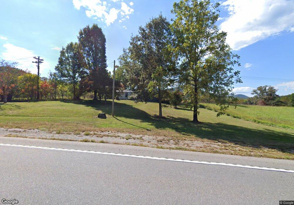
16490 Morganton Hwy Morganton, GA 30560
Estimated Value: $952,000
--
Bed
1
Bath
1,771
Sq Ft
$538/Sq Ft
Est. Value
About This Home
This home is located at 16490 Morganton Hwy, Morganton, GA 30560 and is currently estimated at $952,000, approximately $537 per square foot. 16490 Morganton Hwy is a home located in Fannin County with nearby schools including Fannin County High School.
Ownership History
Date
Name
Owned For
Owner Type
Purchase Details
Closed on
Dec 12, 2018
Sold by
Cruse Wayne Allenn
Bought by
Mccaysville Properties Llc
Current Estimated Value
Purchase Details
Closed on
Nov 24, 2016
Sold by
Allen Wayne
Bought by
Mccaysville Properties Llc
Purchase Details
Closed on
Nov 24, 2015
Sold by
Allen Wayne
Bought by
Mccaysville Properties Llc
Purchase Details
Closed on
Apr 10, 2007
Sold by
United Community Bank
Bought by
Toccoa River Lumber Co
Purchase Details
Closed on
Mar 19, 2000
Sold by
Century South Bank
Bought by
Cruse Wayne Allen
Purchase Details
Closed on
Apr 25, 1985
Bought by
Cruse Wayne Allen
Create a Home Valuation Report for This Property
The Home Valuation Report is an in-depth analysis detailing your home's value as well as a comparison with similar homes in the area
Home Values in the Area
Average Home Value in this Area
Purchase History
| Date | Buyer | Sale Price | Title Company |
|---|---|---|---|
| Mccaysville Properties Llc | -- | -- | |
| Mccaysville Properties Llc | -- | -- | |
| Mccaysville Properties Llc | -- | -- | |
| Mccaysville Properties Llc | -- | -- | |
| Toccoa River Lumber Co | -- | -- | |
| Cruse Wayne Allen | -- | -- | |
| Cruse Wayne Allen | $17,500 | -- |
Source: Public Records
Tax History Compared to Growth
Tax History
| Year | Tax Paid | Tax Assessment Tax Assessment Total Assessment is a certain percentage of the fair market value that is determined by local assessors to be the total taxable value of land and additions on the property. | Land | Improvement |
|---|---|---|---|---|
| 2024 | $570 | $333,013 | $307,278 | $25,735 |
| 2023 | $820 | $333,013 | $307,278 | $25,735 |
| 2022 | $837 | $333,013 | $307,278 | $25,735 |
| 2021 | $1,264 | $311,465 | $279,406 | $32,059 |
| 2020 | $1,311 | $311,465 | $279,406 | $32,059 |
| 2019 | $1,363 | $311,465 | $279,406 | $32,059 |
| 2018 | $981 | $179,891 | $179,891 | $0 |
| 2017 | $3,183 | $179,891 | $179,891 | $0 |
| 2016 | $1,860 | $401,409 | $359,551 | $41,858 |
| 2015 | $1,978 | $401,922 | $359,551 | $42,371 |
| 2014 | $1,917 | $499,337 | $459,716 | $39,622 |
| 2013 | -- | $484,634 | $454,747 | $29,887 |
Source: Public Records
Map
Nearby Homes
- 16810 Morganton Hwy
- 558 Tipton Springs Rd
- 77 Beaver's Cove
- 335 Mountain Rd
- 185 Mountain Rd
- 180 Shepherds Ridge
- Vacant Tipton Springs Rd
- 164 Hoot Owl Hill
- 145 Hoot Owl Ridge
- 195 Hoot Owl Ridge
- 177 Mountain Rd
- 158 Mountain Meadows Dr
- 166 Mountain Rd
- 8 Mountain Rd
- Lot 38 Shepherds Way
- 455 Shepherds Walk
- 366 Shepherds Way
- 161 Old Dial Rd
- 14576 Morganton Hwy
- 16206 Morganton Hwy
- 16490 Morganton Hwy
- 16206 Morganton Hwy
- 13.51 Cook Rd
- 99 Cook Rd
- 0 Old Hwy 76 Unit 8450499
- 0 Old Hwy 76 Unit 7078691
- 0 Old Hwy 76 Unit 217983
- 0 Old Hwy 76 Unit 281732
- 0 Old Hwy 76 Unit 281733
- 0 Old Hwy 76 Unit 157168
- 0 Old Hwy 76 Unit 172787
- 0 Old Hwy 76 Unit 120763
- 0 Old Hwy 76 Unit 112873
- 0 Old Hwy 76 Unit 290495
- 0 Old Hwy 76 Unit 2.4AC 8010935
- 0 Old Hwy 76 Unit 322501
- 1 Hwy 76
- 0 Old Hwy 76 Unit 8486374
- 507 Cook Rd
