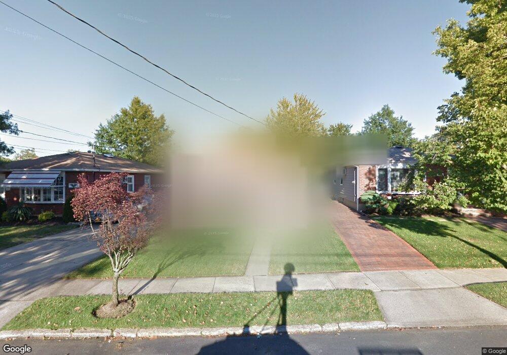
165 Brookfield Ave Staten Island, NY 10308
Great Kills NeighborhoodEstimated Value: $665,850 - $762,000
--
Bed
4
Baths
1,056
Sq Ft
$687/Sq Ft
Est. Value
About This Home
This home is located at 165 Brookfield Ave, Staten Island, NY 10308 and is currently estimated at $725,713, approximately $687 per square foot. 165 Brookfield Ave is a home located in Richmond County with nearby schools including P.S. 32 The Gifford School, Myra S. Barnes Intermediate School 24, and Susan E Wagner High School.
Ownership History
Date
Name
Owned For
Owner Type
Purchase Details
Closed on
Nov 21, 2017
Sold by
Weisberg Scott and Weisberg Tammy
Bought by
Weisberg Tammy
Current Estimated Value
Purchase Details
Closed on
Jul 29, 2004
Sold by
Torino Nicholas O and Torino Dorothea R
Bought by
Weisberg Scott and Weisberg Tammy
Home Financials for this Owner
Home Financials are based on the most recent Mortgage that was taken out on this home.
Original Mortgage
$325,000
Interest Rate
5.71%
Mortgage Type
Purchase Money Mortgage
Create a Home Valuation Report for This Property
The Home Valuation Report is an in-depth analysis detailing your home's value as well as a comparison with similar homes in the area
Home Values in the Area
Average Home Value in this Area
Purchase History
| Date | Buyer | Sale Price | Title Company |
|---|---|---|---|
| Weisberg Tammy | $40,000 | Chicago Title Insurance Comp | |
| Weisberg Scott | $445,000 | Titlevest Agency |
Source: Public Records
Mortgage History
| Date | Status | Borrower | Loan Amount |
|---|---|---|---|
| Previous Owner | Weisberg Scott | $325,000 |
Source: Public Records
Tax History Compared to Growth
Tax History
| Year | Tax Paid | Tax Assessment Tax Assessment Total Assessment is a certain percentage of the fair market value that is determined by local assessors to be the total taxable value of land and additions on the property. | Land | Improvement |
|---|---|---|---|---|
| 2025 | $7,183 | $42,600 | $11,959 | $30,641 |
| 2024 | $7,183 | $39,540 | $12,156 | $27,384 |
| 2023 | $6,852 | $33,740 | $11,098 | $22,642 |
| 2022 | $6,557 | $39,240 | $13,440 | $25,800 |
| 2021 | $6,849 | $33,000 | $13,440 | $19,560 |
| 2020 | $6,686 | $34,440 | $13,440 | $21,000 |
| 2019 | $6,234 | $35,100 | $13,440 | $21,660 |
| 2018 | $5,434 | $28,117 | $12,672 | $15,445 |
| 2017 | $5,280 | $27,370 | $13,328 | $14,042 |
| 2016 | $5,112 | $27,120 | $13,440 | $13,680 |
| 2015 | $4,461 | $26,324 | $10,714 | $15,610 |
| 2014 | $4,461 | $24,835 | $10,409 | $14,426 |
Source: Public Records
Map
Nearby Homes
- 223 Abingdon Ave
- 63 Genesee Ave
- 248 Abingdon Ave
- 151 Abingdon Ave
- 271 Doane Ave
- 24 E Augusta Ave
- 65 E Scranton Ave
- 307 Abingdon Ave
- 259 Brookfield Ave
- 115 Abingdon Ave
- 275 Katan Ave
- 339 Abingdon Ave
- 360 Barlow Ave Unit 32
- 919 Armstrong Ave
- 256 Katan Ave Unit B
- 200 Giffords Ln
- 15 Woodland Ave
- 166 Genesee Ave
- 221B Katan Ave Unit 33B
- 221 B Katan Ave
- 169 Brookfield Ave
- 161 Brookfield Ave
- 173 Brookfield Ave
- 157 Brookfield Ave
- 252 Colon Ave
- 248 Colon Ave
- 244 Colon Ave
- 177 Brookfield Ave
- 153 Brookfield Ave
- 260 Colon Ave
- 240 Colon Ave
- 162 Brookfield Ave
- 166 Brookfield Ave
- 158 Brookfield Ave
- 149 Brookfield Ave
- 181 Brookfield Ave
- 168 Brookfield Ave
- 264 Colon Ave
- 236 Colon Ave
- 154 Brookfield Ave