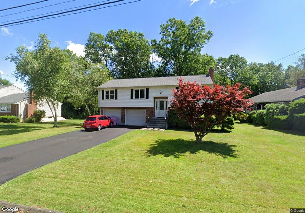
165 Brown St Wethersfield, CT 06109
Estimated Value: $332,000 - $405,000
3
Beds
2
Baths
1,190
Sq Ft
$323/Sq Ft
Est. Value
About This Home
This home is located at 165 Brown St, Wethersfield, CT 06109 and is currently estimated at $384,642, approximately $323 per square foot. 165 Brown St is a home located in Hartford County with nearby schools including Emerson-Williams School, Silas Deane Middle School, and Wethersfield High School.
Ownership History
Date
Name
Owned For
Owner Type
Purchase Details
Closed on
Dec 30, 2009
Sold by
Tyler Jamie
Bought by
Tyler Jamie and Tyler Casey
Current Estimated Value
Purchase Details
Closed on
Jun 15, 1998
Sold by
Wojcik Stefan and Wojcik Alexander N
Bought by
Brozowsky James and Brozowsky Jamie O R
Create a Home Valuation Report for This Property
The Home Valuation Report is an in-depth analysis detailing your home's value as well as a comparison with similar homes in the area
Home Values in the Area
Average Home Value in this Area
Purchase History
| Date | Buyer | Sale Price | Title Company |
|---|---|---|---|
| Tyler Jamie | -- | -- | |
| Brozowsky James | $144,000 | -- |
Source: Public Records
Mortgage History
| Date | Status | Borrower | Loan Amount |
|---|---|---|---|
| Open | Brozowsky James | $189,000 | |
| Closed | Brozowsky James | $202,500 | |
| Closed | Brozowsky James | $42,200 | |
| Previous Owner | Brozowsky James | $40,000 |
Source: Public Records
Tax History
| Year | Tax Paid | Tax Assessment Tax Assessment Total Assessment is a certain percentage of the fair market value that is determined by local assessors to be the total taxable value of land and additions on the property. | Land | Improvement |
|---|---|---|---|---|
| 2025 | $10,078 | $244,500 | $72,110 | $172,390 |
| 2024 | $6,708 | $155,200 | $63,760 | $91,440 |
| 2023 | $6,484 | $155,200 | $63,760 | $91,440 |
| 2022 | $6,376 | $155,200 | $63,760 | $91,440 |
| 2021 | $6,312 | $155,200 | $63,760 | $91,440 |
| 2020 | $6,315 | $155,200 | $63,760 | $91,440 |
| 2019 | $6,323 | $155,200 | $63,760 | $91,440 |
| 2018 | $6,443 | $158,000 | $64,300 | $93,700 |
| 2017 | $6,284 | $158,000 | $64,300 | $93,700 |
| 2016 | $6,089 | $158,000 | $64,300 | $93,700 |
| 2015 | $6,034 | $158,000 | $64,300 | $93,700 |
| 2014 | $5,805 | $158,000 | $64,300 | $93,700 |
Source: Public Records
Map
Nearby Homes
- 97 Brussels Ave
- 19 Albert Ave
- 116 Wells Farm Dr
- 273 Forest Dr
- 20 Forest Dr
- 173 Timber Trail
- 1310 Berlin Turnpike Unit 223
- 219 Jordan Ln Unit 221
- 90 Goodwin Park Rd
- 104 Willow St
- 137 Dale Rd
- 12 Bates Place
- 87 Somerset St
- 91 Somerset St
- 455 Brimfield Rd
- 18 Avalon Place
- 704 Franklin Ave
- 1 Fernwood St
- 317 Garden St Unit 319
- 208 Mountain St
Your Personal Tour Guide
Ask me questions while you tour the home.