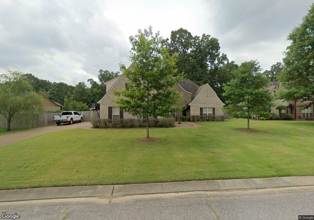
165 Lazy j Dr Somerville, TN 38068
Estimated Value: $434,436 - $511,000
--
Bed
--
Bath
2,970
Sq Ft
$161/Sq Ft
Est. Value
About This Home
This home is located at 165 Lazy j Dr, Somerville, TN 38068 and is currently estimated at $477,109, approximately $160 per square foot. 165 Lazy j Dr is a home with nearby schools including Oakland Elementary School, West Junior High School, and Fayette Ware Comprehensive High School.
Ownership History
Date
Name
Owned For
Owner Type
Purchase Details
Closed on
Jul 2, 2020
Sold by
Murchison Kevin L and Murchison Ginger M
Bought by
Stewart Walter E and Stewart Brenda E
Current Estimated Value
Home Financials for this Owner
Home Financials are based on the most recent Mortgage that was taken out on this home.
Original Mortgage
$227,000
Outstanding Balance
$201,289
Interest Rate
3.1%
Mortgage Type
New Conventional
Estimated Equity
$275,820
Purchase Details
Closed on
Mar 21, 2013
Sold by
Creekside Homes Llc
Bought by
Rasberry Freddie C and Rasberry Amanda C
Home Financials for this Owner
Home Financials are based on the most recent Mortgage that was taken out on this home.
Original Mortgage
$183,200
Interest Rate
3.57%
Mortgage Type
Commercial
Purchase Details
Closed on
Apr 5, 2012
Sold by
Geneva Homes Inc
Bought by
Creekside Homes Llc
Purchase Details
Closed on
Sep 1, 2006
Bought by
Geneva Homes Inc
Create a Home Valuation Report for This Property
The Home Valuation Report is an in-depth analysis detailing your home's value as well as a comparison with similar homes in the area
Home Values in the Area
Average Home Value in this Area
Purchase History
| Date | Buyer | Sale Price | Title Company |
|---|---|---|---|
| Stewart Walter E | $227,000 | Lendserv National Title | |
| Rasberry Freddie C | $229,000 | -- | |
| Creekside Homes Llc | -- | -- | |
| Creekside Homes Llc | $34,876 | -- | |
| Geneva Homes Inc | $464,000 | -- |
Source: Public Records
Mortgage History
| Date | Status | Borrower | Loan Amount |
|---|---|---|---|
| Open | Stewart Walter E | $227,000 | |
| Previous Owner | Rasberry Freddie C | $183,200 |
Source: Public Records
Tax History Compared to Growth
Tax History
| Year | Tax Paid | Tax Assessment Tax Assessment Total Assessment is a certain percentage of the fair market value that is determined by local assessors to be the total taxable value of land and additions on the property. | Land | Improvement |
|---|---|---|---|---|
| 2024 | $1,078 | $84,925 | $10,000 | $74,925 |
| 2023 | $2,194 | $84,925 | $0 | $0 |
| 2022 | $1,455 | $84,925 | $10,000 | $74,925 |
| 2021 | $1,455 | $84,925 | $10,000 | $74,925 |
| 2020 | $985 | $84,925 | $10,000 | $74,925 |
| 2019 | $1,326 | $65,375 | $8,750 | $56,625 |
| 2018 | $1,364 | $65,375 | $8,750 | $56,625 |
| 2017 | $1,162 | $65,375 | $8,750 | $56,625 |
| 2016 | $1,144 | $60,125 | $8,750 | $51,375 |
| 2015 | $1,144 | $60,125 | $8,750 | $51,375 |
| 2014 | $1,144 | $60,125 | $8,750 | $51,375 |
Source: Public Records
Map
Nearby Homes
- 10 Sundance Cove
- 80 Lazy j Dr
- 505 Terry Rd
- 60 Mulberry Cove
- 325 Wellington Cir S
- 25 Valerie Cove
- 30 Lazy j Dr
- 200 Wellington Cir S
- 340 Brad Meadow Ln
- 20 Rachel Cove
- 2620 Tomlin Rd
- 3365 Tomlin Rd
- 90 Rolling Meadows Rd
- 35 Rolling Oaks Dr
- 115 Lakewood Dr
- 8570 Us Highway 64
- 10 Blackthorn Cove
- 2295 Tomlin Rd
- 5 Vale Rd
- 4 Vale Rd