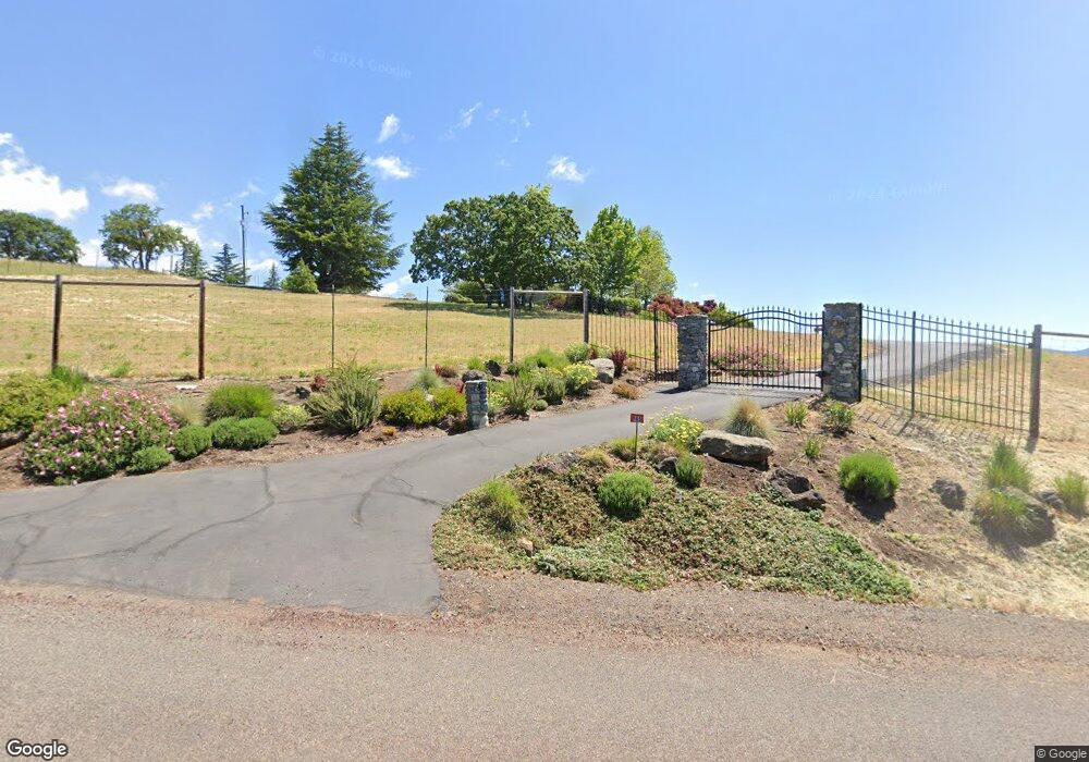
165 Pilot View Rd Ashland, OR 97520
Estimated Value: $722,000 - $915,845
3
Beds
3
Baths
2,929
Sq Ft
$286/Sq Ft
Est. Value
About This Home
This home is located at 165 Pilot View Rd, Ashland, OR 97520 and is currently estimated at $838,282, approximately $286 per square foot. 165 Pilot View Rd is a home located in Jackson County with nearby schools including Helman Elementary School, Ashland Middle School, and Ashland High School.
Ownership History
Date
Name
Owned For
Owner Type
Purchase Details
Closed on
Jun 17, 2020
Sold by
Shulster Stanley Anthony and Mcelrath Katheryn Jean
Bought by
Shulster Stanley Anthony and Shulster Katheryn Jean
Current Estimated Value
Purchase Details
Closed on
Sep 17, 2003
Sold by
Shulster Stanley Anthony and Mcelrath Katheryn Jean
Bought by
Shulster Stanley Anthony and Mcelrath Katheryn Jean
Create a Home Valuation Report for This Property
The Home Valuation Report is an in-depth analysis detailing your home's value as well as a comparison with similar homes in the area
Purchase History
| Date | Buyer | Sale Price | Title Company |
|---|---|---|---|
| Shulster Stanley Anthony | -- | None Available | |
| Shulster Stanley Anthony | -- | -- |
Source: Public Records
Tax History
| Year | Tax Paid | Tax Assessment Tax Assessment Total Assessment is a certain percentage of the fair market value that is determined by local assessors to be the total taxable value of land and additions on the property. | Land | Improvement |
|---|---|---|---|---|
| 2026 | $9,236 | $537,720 | $276,900 | $260,820 |
| 2025 | $9,577 | $676,120 | $251,730 | $424,390 |
| 2024 | $9,577 | $656,430 | $365,380 | $291,050 |
| 2023 | $9,264 | $637,320 | $354,730 | $282,590 |
| 2022 | $8,964 | $637,320 | $354,730 | $282,590 |
| 2021 | $8,654 | $618,760 | $344,420 | $274,340 |
| 2020 | $8,412 | $600,740 | $334,390 | $266,350 |
| 2019 | $8,232 | $566,270 | $315,200 | $251,070 |
| 2018 | $7,777 | $549,780 | $306,030 | $243,750 |
| 2017 | $7,735 | $549,780 | $306,030 | $243,750 |
| 2016 | $7,551 | $518,230 | $288,440 | $229,790 |
| 2015 | $7,268 | $518,230 | $288,440 | $229,790 |
| 2014 | $6,722 | $488,490 | $271,880 | $216,610 |
Source: Public Records
Map
Nearby Homes
- 786 Pompadour Dr
- 157 Ashland Acres Rd
- 0 E Nevada St
- 1650 E Nevada St
- 141 Majestic Ln
- 144 Crocker St
- 920 Mountain Meadows Cir
- 941 Mountain Meadows Cir Unit 20
- 955 Golden Aspen Place Unit 12
- 949 Golden Aspen Place
- 939 Mountain Meadows Cir Unit 22
- 139 N Wightman St
- 923 Mountain Meadows Cir Unit 12
- 215 Tolman Creek Rd Unit 16
- 215 Tolman Creek Rd Unit SPC 10
- 369 Meadow Dr
- 2096 Creek Dr
- 2082 E Main St
- 1330 N Mountain Ave
- 267 Meadow Dr
- 220 Pompadour Dr
- 175 Pilot View Rd
- 158 Gaerky Creek Rd
- 120 Pilot View Rd
- 166 Pilot View Rd
- 160 Pompadour Dr
- 0 Pompadour Dr Unit 100981411
- 0 Pompadour Dr Unit 100206587
- 0 Pompadour Dr Unit 5477740
- 0 Pompadour Dr
- 40 Pilot View Rd
- 131 Gaerky Creek Rd
- 500 Pompadour Dr
- 300 Gaerky Creek Rd
- 475 Pompadour Dr
- 199 Pompadour Dr
- 331 Pompadour Dr
- 210 Pilot View Rd
- 320 Gaerky Creek Rd
- 330 Gaerky Creek Rd
Your Personal Tour Guide
Ask me questions while you tour the home.
