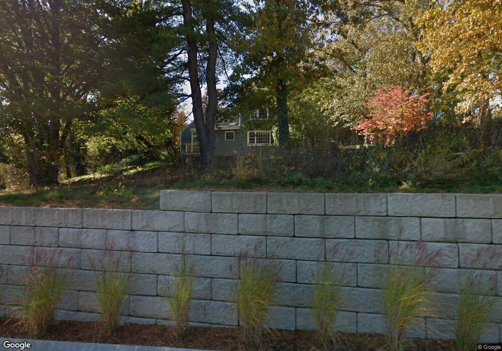
165 Shawsheen Rd Andover, MA 01810
Shawsheen Heights NeighborhoodEstimated Value: $1,133,000 - $1,692,000
6
Beds
5
Baths
4,057
Sq Ft
$327/Sq Ft
Est. Value
About This Home
This home is located at 165 Shawsheen Rd, Andover, MA 01810 and is currently estimated at $1,325,699, approximately $326 per square foot. 165 Shawsheen Rd is a home located in Essex County with nearby schools including West Elementary School, Andover West Middle School, and Andover High School.
Ownership History
Date
Name
Owned For
Owner Type
Purchase Details
Closed on
Dec 28, 2021
Sold by
Loosigian Anne M
Bought by
Loosigian Anne M and Loosigian John P
Current Estimated Value
Purchase Details
Closed on
Oct 20, 2009
Sold by
Mckain James A and Mckain Lucille N
Bought by
Rayvon Rt and Cormier Raymond Y
Purchase Details
Closed on
Jun 25, 2008
Sold by
Loosigian Anne M and Loosigian John P
Bought by
Loosigian Anne M
Purchase Details
Closed on
Dec 19, 1996
Sold by
Mckain James A
Bought by
Loosigian John P
Create a Home Valuation Report for This Property
The Home Valuation Report is an in-depth analysis detailing your home's value as well as a comparison with similar homes in the area
Home Values in the Area
Average Home Value in this Area
Purchase History
| Date | Buyer | Sale Price | Title Company |
|---|---|---|---|
| Loosigian Anne M | -- | None Available | |
| Rayvon Rt | $71,000 | -- | |
| Loosigian Anne M | -- | -- | |
| Loosigian John P | $310,000 | -- |
Source: Public Records
Mortgage History
| Date | Status | Borrower | Loan Amount |
|---|---|---|---|
| Previous Owner | Loosigian John P | $750,000 | |
| Previous Owner | Loosigian John P | $275,000 | |
| Previous Owner | Loosigian John P | $80,000 |
Source: Public Records
Tax History Compared to Growth
Tax History
| Year | Tax Paid | Tax Assessment Tax Assessment Total Assessment is a certain percentage of the fair market value that is determined by local assessors to be the total taxable value of land and additions on the property. | Land | Improvement |
|---|---|---|---|---|
| 2024 | $11,859 | $920,700 | $432,800 | $487,900 |
| 2023 | $11,547 | $845,300 | $401,000 | $444,300 |
| 2022 | $10,865 | $744,200 | $340,100 | $404,100 |
| 2021 | $10,386 | $679,300 | $309,500 | $369,800 |
| 2020 | $9,961 | $663,600 | $302,100 | $361,500 |
| 2019 | $9,851 | $645,100 | $293,400 | $351,700 |
| 2018 | $9,368 | $599,000 | $276,800 | $322,200 |
| 2017 | $8,968 | $590,800 | $271,500 | $319,300 |
| 2016 | $8,756 | $590,800 | $271,500 | $319,300 |
| 2015 | $8,401 | $561,200 | $261,100 | $300,100 |
Source: Public Records
Map
Nearby Homes
- 37 Crenshaw Ln Unit 37
- 38 Lincoln Cir E
- 25 Clubview Dr Unit 25
- 13 Clubview Dr Unit 13
- 42 Stevens St
- 5 Castle Heights Rd
- 2 Powder Mill Square Unit 2B
- 21 Clubview Dr Unit 21
- 10 Martingale Ln Unit 10
- 6 Windsor St
- Lot 7 Weeping Willow Dr
- 20 Walnut Ave
- 105 Central St
- 24 York St
- 103 Central St
- 10 Maple Ave Unit 3
- 18 Bryan Ln Unit 18
- 61 Elm St Unit 61
- 47 Abbot St
- 156 High St