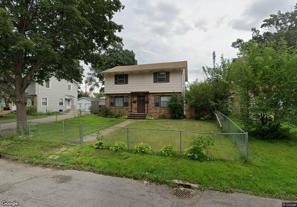
1650 Mcafee St Saint Paul, MN 55106
Estimated Value: $319,132 - $408,000
4
Beds
2
Baths
1,760
Sq Ft
$211/Sq Ft
Est. Value
About This Home
This home is located at 1650 Mcafee St, Saint Paul, MN 55106 and is currently estimated at $372,033, approximately $211 per square foot. 1650 Mcafee St is a home located in Ramsey County with nearby schools including Frost Lake Elementary School, Txuj Ci HMong Language and Culture Upper Campus, and Johnson Senior High School.
Ownership History
Date
Name
Owned For
Owner Type
Purchase Details
Closed on
Nov 25, 2015
Sold by
Franzwa Sasha and Franzwa Ken
Bought by
Hayes Martin
Current Estimated Value
Home Financials for this Owner
Home Financials are based on the most recent Mortgage that was taken out on this home.
Original Mortgage
$127,125
Outstanding Balance
$100,130
Interest Rate
3.75%
Mortgage Type
New Conventional
Estimated Equity
$271,903
Purchase Details
Closed on
Jan 28, 2002
Sold by
Jacobson Eric J
Bought by
Buetow Tanya and Buetow Sasha
Purchase Details
Closed on
Jan 19, 1996
Sold by
Hamner Craig W
Bought by
Jacobson Eric
Create a Home Valuation Report for This Property
The Home Valuation Report is an in-depth analysis detailing your home's value as well as a comparison with similar homes in the area
Home Values in the Area
Average Home Value in this Area
Purchase History
| Date | Buyer | Sale Price | Title Company |
|---|---|---|---|
| Hayes Martin | $170,500 | Burnet Title | |
| Buetow Tanya | $180,000 | -- | |
| Jacobson Eric | $95,500 | -- |
Source: Public Records
Mortgage History
| Date | Status | Borrower | Loan Amount |
|---|---|---|---|
| Open | Hayes Martin | $127,125 |
Source: Public Records
Tax History Compared to Growth
Tax History
| Year | Tax Paid | Tax Assessment Tax Assessment Total Assessment is a certain percentage of the fair market value that is determined by local assessors to be the total taxable value of land and additions on the property. | Land | Improvement |
|---|---|---|---|---|
| 2025 | $5,784 | $310,800 | $30,000 | $280,800 |
| 2023 | $5,784 | $286,700 | $25,000 | $261,700 |
| 2022 | $3,818 | $286,700 | $25,000 | $261,700 |
| 2021 | $3,422 | $231,600 | $25,000 | $206,600 |
| 2020 | $4,362 | $225,500 | $16,100 | $209,400 |
| 2019 | $4,044 | $200,900 | $16,100 | $184,800 |
| 2018 | $3,504 | $188,300 | $16,100 | $172,200 |
| 2017 | $3,186 | $163,700 | $16,100 | $147,600 |
| 2016 | $3,366 | $0 | $0 | $0 |
| 2015 | $3,144 | $142,900 | $16,100 | $126,800 |
| 2014 | $2,922 | $0 | $0 | $0 |
Source: Public Records
Map
Nearby Homes
- 1639 Clarence St
- 1751 Clarence St
- 1435 Price Ave
- 1672 Manton St
- 1730 Atlantic St
- 1567 Atlantic St
- 1714 Duluth St
- 1532 Larpenteur Ave E
- 1870 Clarence St
- 1869 Birmingham St
- 1450 Arlington Ave E
- 1854 Barclay St
- 1377 Clarence St
- 1607 Hoyt Ave E
- 1627 Christie Place
- 1583 Nevada Ave E
- 1637 Iowa Ave E
- 1357 Birmingham St
- 1201 Frost Ave
- 1940 Barclay St
- 1646 Mcafee St
- 1640 Mcafee St
- 1668 Mcafee St
- 1651 Clarence St
- 1657 Clarence St
- 1645 Clarence St
- 1655 Mcafee St
- 1645 Mcafee St
- 1661 Clarence St
- 1634 Mcafee St
- 1637 Mcafee St
- 1672 Mcafee St
- 1663 Mcafee St
- 1665 Clarence St
- 1635 Clarence St
- 1631 Mcafee St
- 1341 Idaho Ave E
- 1669 Clarence St
- 1340 1340 Larpenteur Ave E
- 1677 Mcafee St