1650 State Route 89 Jeromesville, OH 44840
Estimated Value: $414,000 - $551,000
5
Beds
4
Baths
3,678
Sq Ft
$132/Sq Ft
Est. Value
About This Home
This home is located at 1650 State Route 89, Jeromesville, OH 44840 and is currently estimated at $486,023, approximately $132 per square foot. 1650 State Route 89 is a home with nearby schools including Hillsdale Elementary School, Hillsdale Middle School, and Hillsdale High School.
Ownership History
Date
Name
Owned For
Owner Type
Purchase Details
Closed on
Feb 13, 2024
Sold by
Roush Marjorie Emma
Bought by
Carroll Cynthia
Current Estimated Value
Purchase Details
Closed on
Sep 23, 2020
Sold by
Avian Acres Farm Ltd
Bought by
Roush Marjorie E and Schroeder Garrett E
Home Financials for this Owner
Home Financials are based on the most recent Mortgage that was taken out on this home.
Original Mortgage
$364,900
Interest Rate
2.9%
Mortgage Type
New Conventional
Purchase Details
Closed on
May 27, 2011
Bought by
Avian Acres Farm Ltd
Purchase Details
Closed on
Apr 9, 2002
Create a Home Valuation Report for This Property
The Home Valuation Report is an in-depth analysis detailing your home's value as well as a comparison with similar homes in the area
Home Values in the Area
Average Home Value in this Area
Purchase History
| Date | Buyer | Sale Price | Title Company |
|---|---|---|---|
| Carroll Cynthia | -- | None Listed On Document | |
| Roush Marjorie E | $379,900 | Northwest Title Fam Companies | |
| Avian Acres Farm Ltd | -- | -- | |
| -- | -- | -- |
Source: Public Records
Mortgage History
| Date | Status | Borrower | Loan Amount |
|---|---|---|---|
| Previous Owner | Roush Marjorie E | $364,900 |
Source: Public Records
Tax History Compared to Growth
Tax History
| Year | Tax Paid | Tax Assessment Tax Assessment Total Assessment is a certain percentage of the fair market value that is determined by local assessors to be the total taxable value of land and additions on the property. | Land | Improvement |
|---|---|---|---|---|
| 2024 | $4,707 | $140,590 | $26,610 | $113,980 |
| 2023 | $4,707 | $140,590 | $26,610 | $113,980 |
| 2022 | $4,418 | $104,140 | $19,710 | $84,430 |
| 2021 | $4,425 | $82,260 | $16,930 | $65,330 |
| 2020 | $4,992 | $82,270 | $16,940 | $65,330 |
| 2019 | $2,702 | $93,200 | $36,310 | $56,890 |
| 2018 | $2,622 | $93,200 | $36,310 | $56,890 |
| 2017 | $3,011 | $93,200 | $36,310 | $56,890 |
| 2016 | $2,868 | $93,200 | $36,310 | $56,890 |
| 2015 | $2,833 | $93,200 | $36,310 | $56,890 |
| 2013 | $2,804 | $90,430 | $33,210 | $57,220 |
Source: Public Records
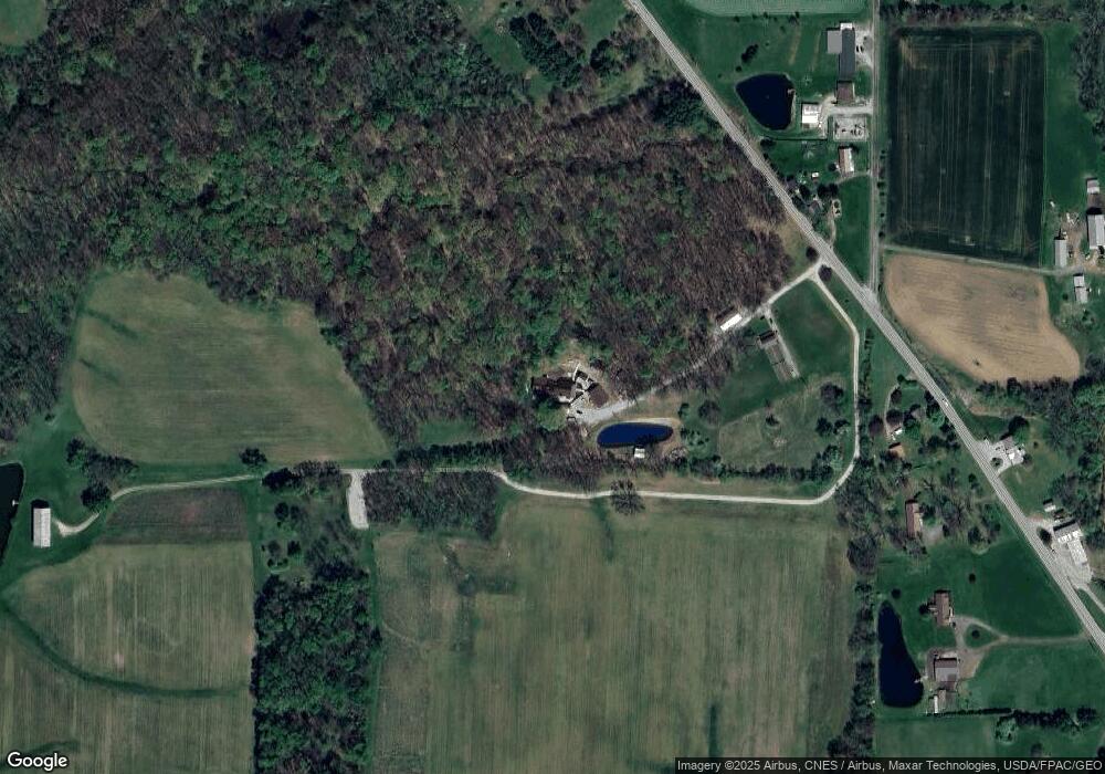
Map
Nearby Homes
- 14 E South St
- 144 Township Road 1650
- 1845 County Road 655
- 1346 Ohio 89
- 1346 State Route 89
- 156 U S 250
- 1653 State Route 60
- 1653 Ohio 60
- 150 E Main St
- 2057 Ohio 89
- 2057 State Route 89
- 2289 N Reedsburg Rd
- 1446 Township Road 805
- 486 Township Road 1275
- 0 Township Road 1275
- 1457 Township Road 853
- 0 Twp Rd 1806 Unit 11591470
- 686 County Road 1302
- 1435 Township Road 853
- 0 Eagle Way
- 1650B State Route 89
- 1645 State Route 89
- 1645 State Route 89
- 1656 State Route 89
- 1656 Ohio 89
- 1636 Township Road 395
- 1626 Ohio 89
- 1626 State Route 89
- 1659 Ohio 89
- 1659 State Route 89
- 1627 State Route 89
- 1670 State Route 89
- 1629 Township Road 395
- 1625 Ohio 89
- 1625 State Route 89
- 1674 State Route 89
- 0 Township Road 395
- 0 Township Road 395
- 0 Township Road 395
- 1625 Township Road 395