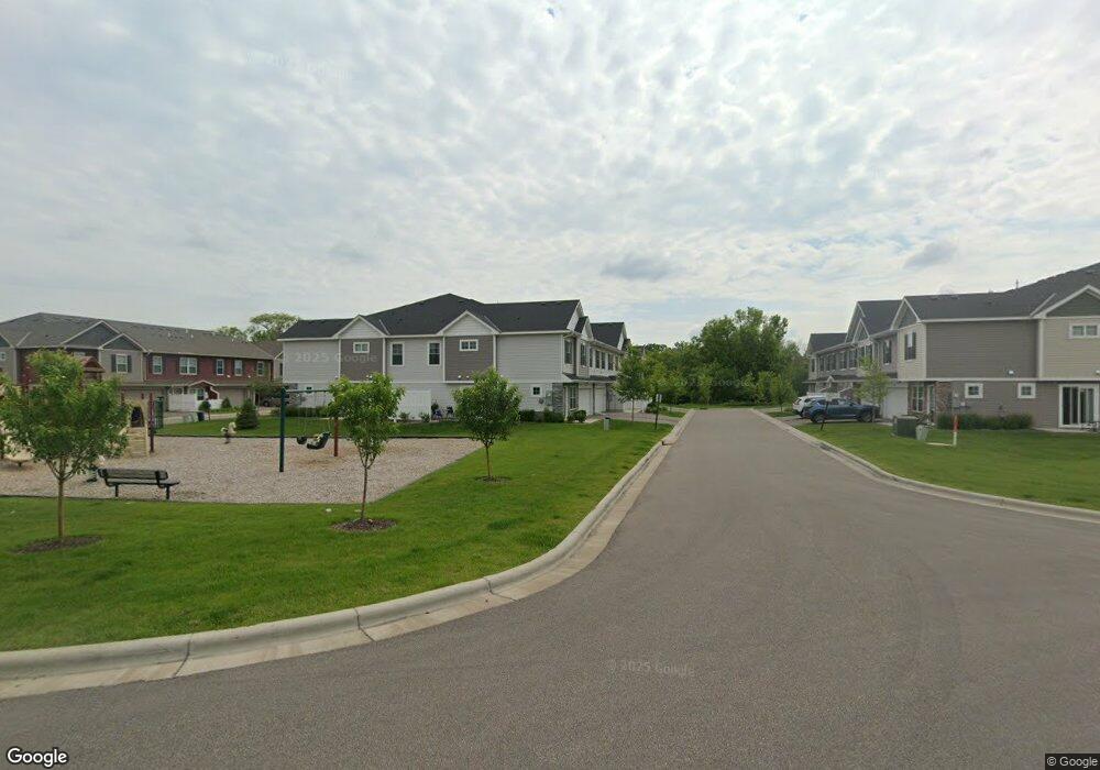
16501 Territorial Rd Maple Grove, MN 55369
Estimated Value: $449,000
5
Beds
2
Baths
3,062
Sq Ft
$147/Sq Ft
Est. Value
About This Home
This home is located at 16501 Territorial Rd, Maple Grove, MN 55369 and is currently priced at $449,000, approximately $146 per square foot. 16501 Territorial Rd is a home located in Hennepin County with nearby schools including Fernbrook Elementary School, Osseo Middle School, and Maple Grove Senior High School.
Ownership History
Date
Name
Owned For
Owner Type
Purchase Details
Closed on
Jul 8, 2021
Sold by
Arp Llc
Bought by
Dayton 81 Llc
Current Estimated Value
Home Financials for this Owner
Home Financials are based on the most recent Mortgage that was taken out on this home.
Original Mortgage
$3,525,000
Outstanding Balance
$3,198,391
Interest Rate
2.9%
Mortgage Type
Commercial
Purchase Details
Closed on
Aug 26, 2013
Sold by
Pederson Rodney and Pederson Brenda
Bought by
Arp Llc
Purchase Details
Closed on
Oct 2, 2002
Sold by
Becker Jack E
Bought by
Pederson Rodney and Pederson Brenda
Create a Home Valuation Report for This Property
The Home Valuation Report is an in-depth analysis detailing your home's value as well as a comparison with similar homes in the area
Home Values in the Area
Average Home Value in this Area
Purchase History
| Date | Buyer | Sale Price | Title Company |
|---|---|---|---|
| Dayton 81 Llc | $1,300,000 | Custom Home Builders Title | |
| Arp Llc | -- | None Available | |
| Pederson Rodney | $804,400 | -- |
Source: Public Records
Mortgage History
| Date | Status | Borrower | Loan Amount |
|---|---|---|---|
| Open | Dayton 81 Llc | $3,525,000 |
Source: Public Records
Tax History
| Year | Tax Paid | Tax Assessment Tax Assessment Total Assessment is a certain percentage of the fair market value that is determined by local assessors to be the total taxable value of land and additions on the property. | Land | Improvement |
|---|---|---|---|---|
| 2021 | $9,076 | $628,000 | $340,000 | $288,000 |
| 2019 | $12,384 | $318,000 | $183,000 | $135,000 |
| 2018 | $12,488 | $562,000 | $305,000 | $257,000 |
| 2017 | $12,137 | $559,300 | $315,300 | $244,000 |
| 2016 | $11,447 | $513,200 | $282,200 | $231,000 |
| 2015 | $11,556 | $505,000 | $274,000 | $231,000 |
| 2014 | -- | $469,700 | $265,700 | $204,000 |
Source: Public Records
Map
Nearby Homes
- 10892 Territorial Trail
- 16340 Comstock Ln N
- 16460 Comstock Ln N
- 11080 Comstock Ln N
- 16450 Comstock Ln N
- 11070 Comstock Ln N
- 16755 106th Place N
- 000 110th Ave N
- 15650 112th Ave N
- 15531 111th Ave N
- 15450 110th Ave N
- 15440 110th Ave N
- 15351 110th Ave N
- 15350 110th Ave N
- 15650 112th Ave N
- 10763 Orchid Ln N
- XXX Brockton Ln N
- 10361 Peony Ln N
- 10388 Peony Ln N
- 10382 Peony Ln N
- 10888 Everest Place N
- 10889 Territorial Trail
- 10900 Everest Place N
- 10901 Territorial Trail
- 10886 Everest Place N
- 10901 Everest Place N
- 10902 Everest Place N
- 10886 Territorial Trail
- 10903 Territorial Trail
- 10884 Everest Place N
- 10885 Territorial Trail
- 10894 Territorial Trail
- 10884 Territorial Trail
- 10904 Everest Place N
- 10905 Territorial Trail
- 10882 Everest Place N
- 10902 Fountain Place N
- 10883 Territorial Trail
- 10905 Everest Place N
- 10906 Everest Place N