16511 SE Tong Rd Damascus, OR 97089
Estimated Value: $841,000 - $1,203,000
4
Beds
4
Baths
3,270
Sq Ft
$317/Sq Ft
Est. Value
About This Home
This home is located at 16511 SE Tong Rd, Damascus, OR 97089 and is currently estimated at $1,037,252, approximately $317 per square foot. 16511 SE Tong Rd is a home located in Clackamas County with nearby schools including Verne A Duncan Elementary School, Happy Valley Middle School, and Damascus Christian School.
Ownership History
Date
Name
Owned For
Owner Type
Purchase Details
Closed on
Apr 11, 2019
Sold by
Collins Claire L and Collins Family Revocable Livin
Bought by
Rodriguez Edwin Ordonez and Ordonez Lorian
Current Estimated Value
Home Financials for this Owner
Home Financials are based on the most recent Mortgage that was taken out on this home.
Original Mortgage
$593,000
Outstanding Balance
$523,910
Interest Rate
4.25%
Mortgage Type
Construction
Estimated Equity
$513,342
Purchase Details
Closed on
May 6, 2010
Sold by
Collins Melvin Dale and Collins Claire Lois
Bought by
Collins Claire L and Collins Melvin D
Create a Home Valuation Report for This Property
The Home Valuation Report is an in-depth analysis detailing your home's value as well as a comparison with similar homes in the area
Home Values in the Area
Average Home Value in this Area
Purchase History
| Date | Buyer | Sale Price | Title Company |
|---|---|---|---|
| Rodriguez Edwin Ordonez | $267,000 | Ticor Title | |
| Collins Claire L | -- | None Available |
Source: Public Records
Mortgage History
| Date | Status | Borrower | Loan Amount |
|---|---|---|---|
| Open | Rodriguez Edwin Ordonez | $593,000 |
Source: Public Records
Tax History Compared to Growth
Tax History
| Year | Tax Paid | Tax Assessment Tax Assessment Total Assessment is a certain percentage of the fair market value that is determined by local assessors to be the total taxable value of land and additions on the property. | Land | Improvement |
|---|---|---|---|---|
| 2025 | $11,334 | $665,949 | -- | -- |
| 2024 | $10,923 | $646,553 | -- | -- |
| 2023 | $10,923 | $627,722 | $0 | $0 |
| 2022 | $10,015 | $609,439 | $0 | $0 |
| 2021 | $9,634 | $591,689 | $0 | $0 |
| 2020 | $9,295 | $574,456 | $0 | $0 |
| 2019 | $5,373 | $258,129 | $0 | $0 |
| 2018 | $3,700 | $250,611 | $0 | $0 |
| 2017 | $3,594 | $243,312 | $0 | $0 |
| 2016 | $3,463 | $236,225 | $0 | $0 |
| 2015 | $3,796 | $229,345 | $0 | $0 |
| 2014 | $3,496 | $222,665 | $0 | $0 |
Source: Public Records
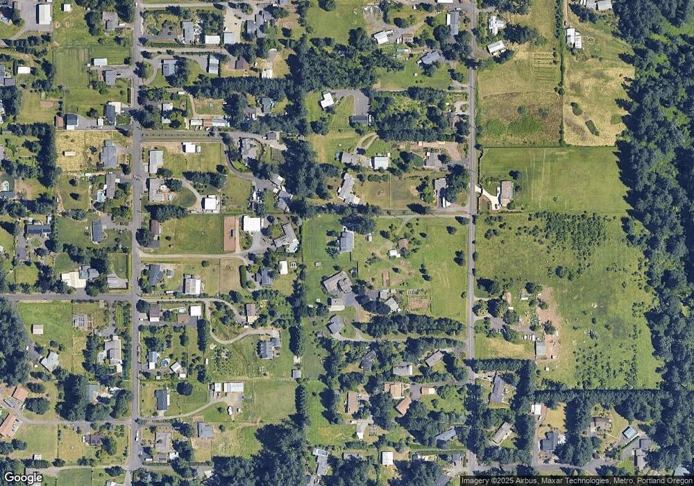
Map
Nearby Homes
- 17156 SE Macanudo St
- 0 SE Armstrong Cir
- 18680 SE Highway 212
- 15694 SE Upman Way
- 16381 SE Deer Meadow Loop
- 16566 SE Deer Meadow Loop
- 16911 SE Siri Ct
- 15566 SE Melinda Ct
- 18027 SE Emi St
- 15556 SE Gladys Rose Way
- 14790 SE 172nd Ave
- 14548 SE 172nd Ave
- 16400 SE Highway 224
- 14543 SE West Park Ct
- 16300 SE Highway 224 Unit 8
- 16300 SE Highway 224 Unit 21
- 16265 SE Highway 224
- 20320 SE Walgren Rd
- 15786 SE Jansik Ct
- 16300 Oregon 224 Unit 10
- 16611 SE Tong Rd
- 16599 SE Tong Rd
- 16441 SE Tong Rd
- 16449 SE Tong Rd
- 16425 SE Tong Rd
- 16685 SE Tong Rd
- 16411 SE Tong Rd
- 16695 SE Tong Rd
- 16560 SE Bel Air Dr
- 16701 SE Tong Rd
- 16390 SE Bel Air Dr
- 16420 SE Tong Rd
- 16399 SE Tong Rd
- 16580 SE Bel Air Dr
- 16751 SE Tong Rd
- 16301 SE Tong Rd
- 16650 SE Bel Air Dr
- 16787 SE Tong Rd
- 16750 SE Tong Rd
- 16600 SE Tong Rd