1653 Grackle Ave Rock Rapids, IA 51246
Estimated Value: $174,000 - $458,000
--
Bed
1
Bath
2,733
Sq Ft
$109/Sq Ft
Est. Value
About This Home
This home is located at 1653 Grackle Ave, Rock Rapids, IA 51246 and is currently estimated at $298,507, approximately $109 per square foot. 1653 Grackle Ave is a home located in Lyon County with nearby schools including Central Lyon Elementary School, Central Lyon Senior High School, and Ignite Christian Academy.
Ownership History
Date
Name
Owned For
Owner Type
Purchase Details
Closed on
Jul 13, 2015
Sold by
The Fred Hoppe Residuary Trust
Bought by
Ahders Austin D
Current Estimated Value
Home Financials for this Owner
Home Financials are based on the most recent Mortgage that was taken out on this home.
Original Mortgage
$150,000
Outstanding Balance
$108,136
Interest Rate
4.5%
Mortgage Type
Adjustable Rate Mortgage/ARM
Estimated Equity
$190,371
Create a Home Valuation Report for This Property
The Home Valuation Report is an in-depth analysis detailing your home's value as well as a comparison with similar homes in the area
Home Values in the Area
Average Home Value in this Area
Purchase History
| Date | Buyer | Sale Price | Title Company |
|---|---|---|---|
| Ahders Austin D | $95,000 | None Available | |
| Ahders Austin D | $95,000 | None Available |
Source: Public Records
Mortgage History
| Date | Status | Borrower | Loan Amount |
|---|---|---|---|
| Open | Ahders Austin D | $150,000 |
Source: Public Records
Tax History Compared to Growth
Tax History
| Year | Tax Paid | Tax Assessment Tax Assessment Total Assessment is a certain percentage of the fair market value that is determined by local assessors to be the total taxable value of land and additions on the property. | Land | Improvement |
|---|---|---|---|---|
| 2025 | $1,756 | $215,050 | $8,550 | $206,500 |
| 2024 | $1,756 | $179,300 | $7,120 | $172,180 |
| 2023 | $1,696 | $179,300 | $7,120 | $172,180 |
| 2022 | $1,540 | $131,950 | $5,250 | $126,700 |
| 2021 | $1,540 | $131,950 | $5,250 | $126,700 |
| 2020 | $1,510 | $110,120 | $5,520 | $104,600 |
| 2019 | $1,304 | $96,754 | $0 | $0 |
| 2018 | $1,264 | $96,754 | $0 | $0 |
| 2017 | $1,120 | $86,079 | $0 | $0 |
| 2016 | $998 | $86,079 | $0 | $0 |
| 2015 | $998 | $95,629 | $0 | $0 |
| 2014 | -- | $95,629 | $0 | $0 |
Source: Public Records
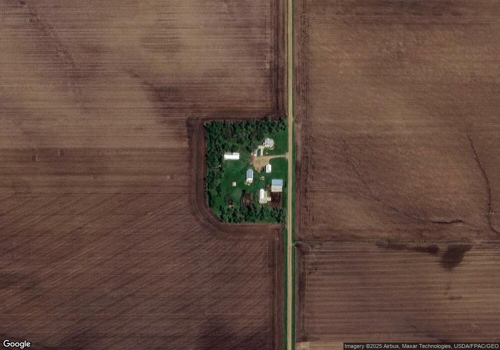
Map
Nearby Homes
- 1037 Highway 75
- 204 S 15th Ave
- 106 S 15th Ave Unit 1
- 1104 S 6th Ave
- 104 Cedar Ln
- 1004 S 6th Ave
- 703 S Adams St
- 1102 S 6th Ave
- 1006 S 6th Ave
- 1002 S 6th Ave
- 1100 S 6th Ave
- 1006 S Marshall St
- 703 S Greene St
- 707 S Greene St
- 610 S Carroll St
- 606 S Carroll St
- 407 S Union St
- 410 S Union St
- 602 S Greene St
- 809 S Tama St
- 1655 Us Highway 75
- 1107 Davis St
- 1107 1/2 Davis St
- 3048 160th St
- 1664 Us Highway 75
- 1658 Us Highway 75
- 3040 160th St
- 1689 Us Highway 75
- 1008 S 12th Ave
- 1707 Grant Ave
- 1201 S Union St
- 800 S 12th Ave
- 1501 S Carroll St
- 3101 170th St
- 1302 S Union St
- 601 S 15th Ave
- 202 S 15th Ave
- 206B S 15th Ave
- 206 S 15th Ave Unit 2
- 0 S 15th Ave