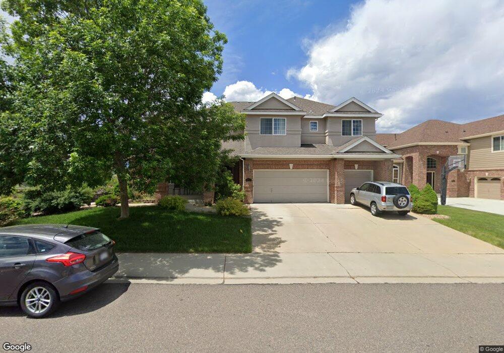
1653 Stones Peak Dr Longmont, CO 80503
Upper Clover Basin NeighborhoodEstimated Value: $1,125,654 - $1,335,000
5
Beds
5
Baths
3,866
Sq Ft
$314/Sq Ft
Est. Value
About This Home
This home is located at 1653 Stones Peak Dr, Longmont, CO 80503 and is currently estimated at $1,213,914, approximately $313 per square foot. 1653 Stones Peak Dr is a home located in Boulder County with nearby schools including Blue Mountain Elementary School, Altona Middle School, and Silver Creek High School.
Ownership History
Date
Name
Owned For
Owner Type
Purchase Details
Closed on
Dec 22, 2005
Sold by
Lennar Colorado Llc
Bought by
Ezzat M Samim
Current Estimated Value
Home Financials for this Owner
Home Financials are based on the most recent Mortgage that was taken out on this home.
Original Mortgage
$447,600
Outstanding Balance
$168,238
Interest Rate
1%
Mortgage Type
Negative Amortization
Estimated Equity
$1,045,676
Create a Home Valuation Report for This Property
The Home Valuation Report is an in-depth analysis detailing your home's value as well as a comparison with similar homes in the area
Home Values in the Area
Average Home Value in this Area
Purchase History
| Date | Buyer | Sale Price | Title Company |
|---|---|---|---|
| Ezzat M Samim | $559,512 | North American Title Company |
Source: Public Records
Mortgage History
| Date | Status | Borrower | Loan Amount |
|---|---|---|---|
| Open | Ezzat M Samim | $447,600 |
Source: Public Records
Tax History Compared to Growth
Tax History
| Year | Tax Paid | Tax Assessment Tax Assessment Total Assessment is a certain percentage of the fair market value that is determined by local assessors to be the total taxable value of land and additions on the property. | Land | Improvement |
|---|---|---|---|---|
| 2025 | $7,852 | $82,894 | $11,738 | $71,156 |
| 2024 | $7,852 | $82,894 | $11,738 | $71,156 |
| 2023 | $7,745 | $82,088 | $12,341 | $73,432 |
| 2022 | $6,387 | $64,545 | $9,153 | $55,392 |
| 2021 | $6,470 | $66,403 | $9,417 | $56,986 |
| 2020 | $6,023 | $62,005 | $10,010 | $51,995 |
| 2019 | $5,928 | $62,005 | $10,010 | $51,995 |
| 2018 | $5,330 | $56,117 | $8,568 | $47,549 |
| 2017 | $5,258 | $62,040 | $9,472 | $52,568 |
| 2016 | $5,070 | $53,046 | $10,587 | $42,459 |
| 2015 | $4,832 | $54,176 | $12,736 | $41,440 |
| 2014 | $5,060 | $54,176 | $12,736 | $41,440 |
Source: Public Records
Map
Nearby Homes
- 1638 Hallet Peak Dr
- 5500 Clover Basin Dr
- 1513 Cannon Mountain Dr
- 5605 Mount Sanitas Ave
- 8712 Portico Ln
- 8726 Crimson Clover Ln
- 1106 Redbud Cir
- 1923 High Plains Dr
- 5025 Eagan Cir
- 5008 Maxwell Ave
- 5120 Heatherhill St
- 2000 Oasis Plan at Northstar - NorthStar
- 2286 Star Hill St
- 2500 Sanctuary Plan at Northstar - NorthStar
- 5610 Four Leaf Dr
- Concerto Plan at West Grange - The McStain Classic
- Harmony Plan at West Grange - The McStain Classic
- Virtuoso Plan at West Grange - The McStain Classic
- Serenade Plan at West Grange - The McStain Classic
- Interlude Plan at West Grange - The McStain Classic
- 1647 Stones Peak Dr
- 1701 Stones Peak Dr
- 1641 Stones Peak Dr
- 1652 Stones Peak Dr
- 1705 Stones Peak Dr
- 1646 Stones Peak Dr
- 1700 Stones Peak Dr
- 1635 Stones Peak Dr
- 1640 Stones Peak Dr
- 1709 Stones Peak Dr
- 1634 Stones Peak Dr
- 1706 Stones Peak Dr
- 1645 Hallet Peak Dr
- 1629 Stones Peak Dr
- 1639 Hallet Peak Dr
- 5729 Pierson Mountain Ave
- 1713 Stones Peak Dr
- 1633 Hallet Peak Dr
- 1628 Stones Peak Dr
- 5723 Pierson Mountain Ave