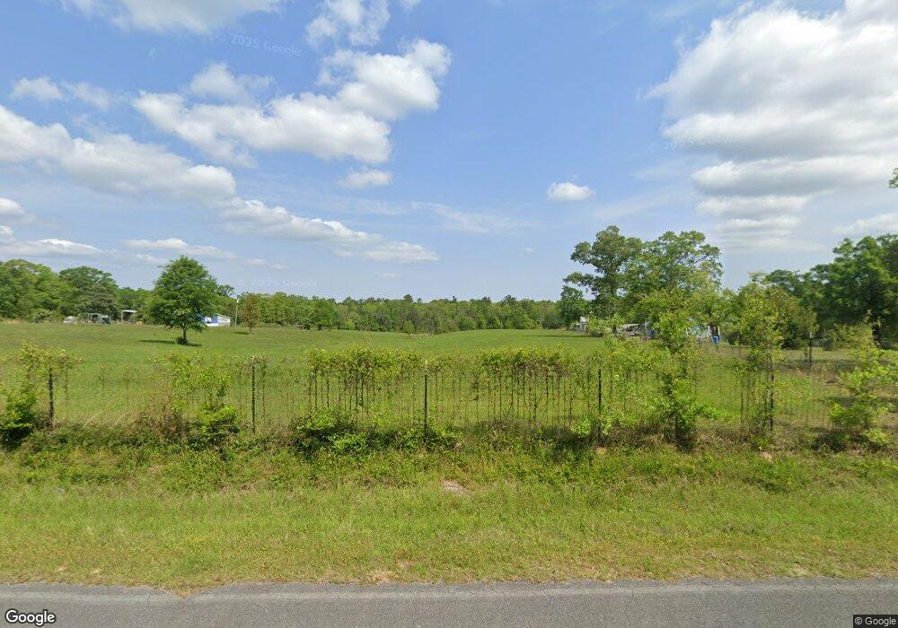
1655 King Bee Rd Perkinston, MS 39573
Estimated Value: $264,000 - $356,000
Studio
--
Bath
2,824
Sq Ft
$113/Sq Ft
Est. Value
About This Home
This home is located at 1655 King Bee Rd, Perkinston, MS 39573 and is currently estimated at $318,075, approximately $112 per square foot. 1655 King Bee Rd is a home located in Stone County with nearby schools including Stone Elementary School, Stone Middle School, and Stone High School.
Ownership History
Date
Name
Owned For
Owner Type
Purchase Details
Closed on
Oct 5, 2012
Sold by
Maxwell Richard D and Maxwell Donna M
Bought by
O'Neal Steve D and O'Neal Rhonda A
Current Estimated Value
Home Financials for this Owner
Home Financials are based on the most recent Mortgage that was taken out on this home.
Original Mortgage
$178,650
Outstanding Balance
$124,026
Interest Rate
3.64%
Mortgage Type
New Conventional
Estimated Equity
$194,049
Purchase Details
Closed on
May 20, 2010
Sold by
Alexander A and Alexander Wynn
Bought by
Maxwell Richard D and Maxwell Donna M
Create a Home Valuation Report for This Property
The Home Valuation Report is an in-depth analysis detailing your home's value as well as a comparison with similar homes in the area
Purchase History
| Date | Buyer | Sale Price | Title Company |
|---|---|---|---|
| O'Neal Steve D | -- | -- | |
| Maxwell Richard D | -- | -- |
Source: Public Records
Mortgage History
| Date | Status | Borrower | Loan Amount |
|---|---|---|---|
| Open | O'Neal Steve D | $178,650 |
Source: Public Records
Tax History Compared to Growth
Tax History
| Year | Tax Paid | Tax Assessment Tax Assessment Total Assessment is a certain percentage of the fair market value that is determined by local assessors to be the total taxable value of land and additions on the property. | Land | Improvement |
|---|---|---|---|---|
| 2025 | $762 | $15,679 | $0 | $0 |
| 2024 | $976 | $14,352 | $0 | $0 |
| 2023 | $968 | $14,346 | $0 | $0 |
| 2022 | $1,707 | $14,518 | $0 | $0 |
| 2021 | $1,539 | $14,528 | $0 | $0 |
| 2020 | $1,465 | $13,216 | $0 | $0 |
| 2019 | $1,473 | $13,371 | $0 | $0 |
| 2018 | $1,495 | $13,524 | $0 | $0 |
| 2017 | $1,493 | $13,589 | $0 | $0 |
| 2016 | $1,399 | $12,679 | $0 | $0 |
| 2015 | -- | $12,923 | $0 | $0 |
| 2014 | $1,425 | $12,903 | $0 | $0 |
Source: Public Records
Map
Nearby Homes
- 0 Pat Hickman Rd
- 8 Chisholm Trail
- 3144 Highway 26
- 80 Punk Lott Rd
- 13 C Bond Rd
- 202 Walker Cemetary Rd
- 53 Scruggs Rd
- 105 T V Tower Rd
- 85 Major Rd
- 0 Deep Creek Rd
- 386 Old Highway 26 E
- 23 Ashley Dr
- 1425 E Mchenry Rd
- 405 Old Highway 49
- 0 Clear Lake Rd Unit 4116497
- 501 Pratt Rd
- Lot 12 Jacob Michael Dr
- 2 Tyner Branch Rd
- 64 Clear Lake Rd
- 56 Clear Lake Rd
- 1665 King Bee Rd
- 1675 King Bee Rd
- 1645 King Bee Rd
- 1701 King Bee Rd
- 1665 King Bee
- 1685 King Bee Rd
- 1711 King Bee Rd
- 1716 King Bee Rd
- 1731 King Bee Rd
- 1731 King Bee Rd
- 1600 King Bee Rd
- 1735 King Bee Rd
- 1737 King Bee Rd
- 1737 King Bee Rd
- 24 Gene Bond Rd
- 36 Gene Bond Rd
- 36 Gene Bond Rd
- 0 King Bee Rd
- 1586 King Bee Rd
- 1572 King Bee Rd
