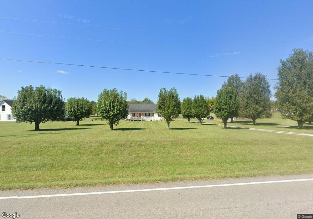
1657 Carters Creek Pike Columbia, TN 38401
Santa Fe NeighborhoodEstimated Value: $462,491
3
Beds
2
Baths
1,545
Sq Ft
$299/Sq Ft
Est. Value
About This Home
This home is located at 1657 Carters Creek Pike, Columbia, TN 38401 and is currently priced at $462,491, approximately $299 per square foot. 1657 Carters Creek Pike is a home located in Maury County with nearby schools including Spring Hill Elementary School, Spring Hill Middle School, and Spring Hill High School.
Ownership History
Date
Name
Owned For
Owner Type
Purchase Details
Closed on
May 2, 2016
Sold by
Nance Fred H
Bought by
Chandler Mack Debra
Current Estimated Value
Purchase Details
Closed on
Feb 23, 2015
Sold by
Adams Robert W and Adams Lorrain C
Bought by
Nance Fred H
Purchase Details
Closed on
Nov 30, 2001
Sold by
Mabry Cyndi
Bought by
Adams Robert W and Adams Lorrain C
Home Financials for this Owner
Home Financials are based on the most recent Mortgage that was taken out on this home.
Original Mortgage
$124,939
Interest Rate
6.59%
Mortgage Type
FHA
Purchase Details
Closed on
May 10, 1999
Bought by
Mabry Cyndi
Home Financials for this Owner
Home Financials are based on the most recent Mortgage that was taken out on this home.
Original Mortgage
$21,800
Interest Rate
10.9%
Mortgage Type
Seller Take Back
Create a Home Valuation Report for This Property
The Home Valuation Report is an in-depth analysis detailing your home's value as well as a comparison with similar homes in the area
Home Values in the Area
Average Home Value in this Area
Purchase History
| Date | Buyer | Sale Price | Title Company |
|---|---|---|---|
| Chandler Mack Debra | $110,000 | -- | |
| Nance Fred H | $150,000 | Foundation Title & Escrow Ll | |
| Adams Robert W | $126,900 | -- | |
| Mabry Cyndi | $22,000 | -- | |
| Mabry Cyndi | $21,995 | -- |
Source: Public Records
Mortgage History
| Date | Status | Borrower | Loan Amount |
|---|---|---|---|
| Previous Owner | Adams Robert W | $124,939 | |
| Previous Owner | Mabry Cyndi | $21,800 |
Source: Public Records
Tax History Compared to Growth
Tax History
| Year | Tax Paid | Tax Assessment Tax Assessment Total Assessment is a certain percentage of the fair market value that is determined by local assessors to be the total taxable value of land and additions on the property. | Land | Improvement |
|---|---|---|---|---|
| 2022 | $1,061 | $55,575 | $11,875 | $43,700 |
Source: Public Records
Map
Nearby Homes
- 5679 Carters Creek Pike
- 2105 Sue Ln
- 1605 Oak Mountain Dr
- CALHOUN Plan at Harvest Point
- BRYAN A Plan at Harvest Point
- EMBRY Plan at Harvest Point
- DOUGLAS A Plan at Harvest Point
- FAYETTE A Plan at Harvest Point
- DIJON B Plan at Harvest Point
- IRWIN A Plan at Harvest Point
- STONEBROOK II Plan at Harvest Point
- Bristol MF Plan at Harvest Point
- TISDALE Plan at Harvest Point
- ANSLEY Plan at Harvest Point
- Clifton MF Plan at Harvest Point
- MILFORD Plan at Harvest Point
- BELFORT Plan at Harvest Point
- HOLDEN Plan at Harvest Point
- DENHAM Plan at Harvest Point
- 410 Wild Iris Way
- 1653 Carters Creek Pike
- 1661 Carters Creek Pike
- 1667 Carters Creek Pike
- 1647 Carters Creek Pike
- 1660 Carters Creek Pike
- 1648 Carters Creek Pike
- 1671 Carters Creek Pike
- 1641 Carters Creek Pike
- 1616 B Dodson Rd
- 1675 Carters Creek Pike
- 1705 Burkewood Dr
- 1704 Burkewood Dr
- 1628 B Dodson Rd
- 1679 Carters Creek Pike
- 1723 Burkewood Dr
- 1720 Burkewood Dr
- 1724 Burkewood Dr
- 1709 Burkewood Dr
- 1708 Burkewood Dr
- 1634 Carters Creek Pike