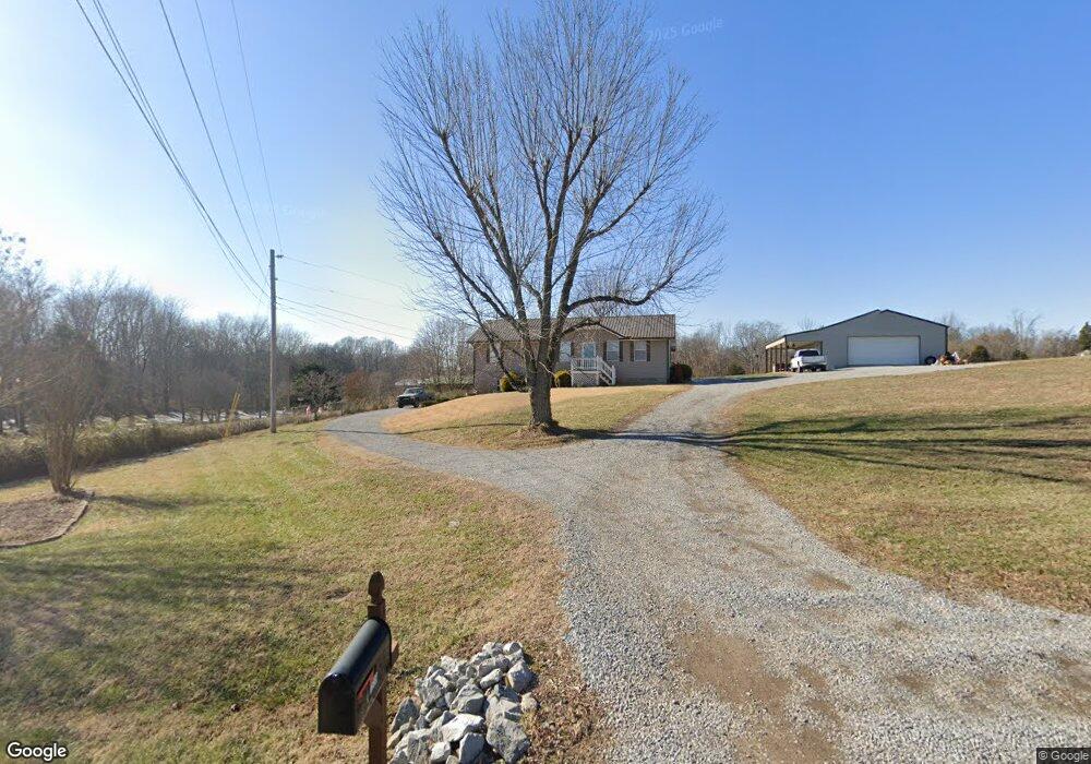
1659 New Deal Potts Rd Portland, TN 37148
Estimated Value: $286,482 - $367,000
--
Bed
2
Baths
1,250
Sq Ft
$256/Sq Ft
Est. Value
About This Home
This home is located at 1659 New Deal Potts Rd, Portland, TN 37148 and is currently estimated at $319,871, approximately $255 per square foot. 1659 New Deal Potts Rd is a home located in Sumner County with nearby schools including Portland Gateview Elementary School, Portland West Middle School, and Portland High School.
Ownership History
Date
Name
Owned For
Owner Type
Purchase Details
Closed on
Feb 25, 2002
Sold by
Woodward Michael Douglas
Bought by
Blackburn Derek and Blackburn Martha
Current Estimated Value
Home Financials for this Owner
Home Financials are based on the most recent Mortgage that was taken out on this home.
Original Mortgage
$88,609
Outstanding Balance
$36,728
Interest Rate
6.95%
Mortgage Type
FHA
Estimated Equity
$283,143
Purchase Details
Closed on
Sep 20, 2001
Sold by
Woodward Shelly Miranda
Bought by
Woodward Michael Douglas
Purchase Details
Closed on
Mar 27, 1997
Sold by
Malone Charles R and Malone Tammy Lynn
Bought by
Woodward Michael D and Woodward Shelley M
Home Financials for this Owner
Home Financials are based on the most recent Mortgage that was taken out on this home.
Original Mortgage
$80,111
Interest Rate
7.58%
Mortgage Type
FHA
Purchase Details
Closed on
May 22, 1995
Bought by
Malone Charles R
Create a Home Valuation Report for This Property
The Home Valuation Report is an in-depth analysis detailing your home's value as well as a comparison with similar homes in the area
Home Values in the Area
Average Home Value in this Area
Purchase History
| Date | Buyer | Sale Price | Title Company |
|---|---|---|---|
| Blackburn Derek | $90,000 | Cumberland Title | |
| Woodward Michael Douglas | -- | -- | |
| Woodward Michael D | $80,000 | -- | |
| Malone Charles R | $72,500 | -- |
Source: Public Records
Mortgage History
| Date | Status | Borrower | Loan Amount |
|---|---|---|---|
| Open | Blackburn Derek | $88,609 | |
| Previous Owner | Woodward Michael D | $80,111 |
Source: Public Records
Tax History Compared to Growth
Tax History
| Year | Tax Paid | Tax Assessment Tax Assessment Total Assessment is a certain percentage of the fair market value that is determined by local assessors to be the total taxable value of land and additions on the property. | Land | Improvement |
|---|---|---|---|---|
| 2024 | $993 | $69,900 | $18,750 | $51,150 |
| 2023 | $796 | $35,350 | $7,350 | $28,000 |
| 2022 | $800 | $35,350 | $7,350 | $28,000 |
| 2021 | $800 | $35,350 | $7,350 | $28,000 |
| 2020 | $800 | $35,350 | $7,350 | $28,000 |
| 2019 | $800 | $0 | $0 | $0 |
| 2018 | $631 | $0 | $0 | $0 |
| 2017 | $631 | $0 | $0 | $0 |
| 2016 | $631 | $0 | $0 | $0 |
| 2015 | -- | $0 | $0 | $0 |
| 2014 | -- | $0 | $0 | $0 |
Source: Public Records
Map
Nearby Homes
- 0 W Harper Rd Unit RTC3031920
- 0 W Harper Rd Unit RTC3031918
- 0 W Harper Rd Unit RTC3031917
- 0 W Harper Rd Unit RTC3031919
- 0 W Harper Rd Unit RTC3031921
- 1502 New Deal Potts Rd
- 1035 Gateview Dr
- 284 Clubbs Rd
- 432 Crafton Rd
- 825B College St
- 909 College St
- 844 College St
- 211 Amy Dr
- 482 Austin Branch Rd
- 113 Megann Dr
- 784 College St
- 101 Lorelle Cir
- 104 Buena Vista Dr
- 562 N Harris Rd
- 105 Riggs Rd
- 1655 New Deal Potts Rd
- 1665 New Deal Potts Rd
- 1666 New Deal Potts Rd
- 1679 New Deal Potts Rd
- 1648 New Deal Potts Rd
- 1643 New Deal Potts Rd
- 484 Crafton Rd
- 1680 New Deal Potts Rd
- 476 Crafton Rd
- 1636 New Deal Potts Rd
- 1617 New Deal Potts Rd
- 1747 New Deal Potts Rd
- 1716 New Deal Potts Rd
- 458 Crafton Rd
- 1191 Payne Rd
- 1187 Payne Rd
- 1591 New Deal Potts Rd
- 1185 Payne Rd
- 0 W Harper Rd Unit 1892674
- 0 W Harper Rd Unit 1709948