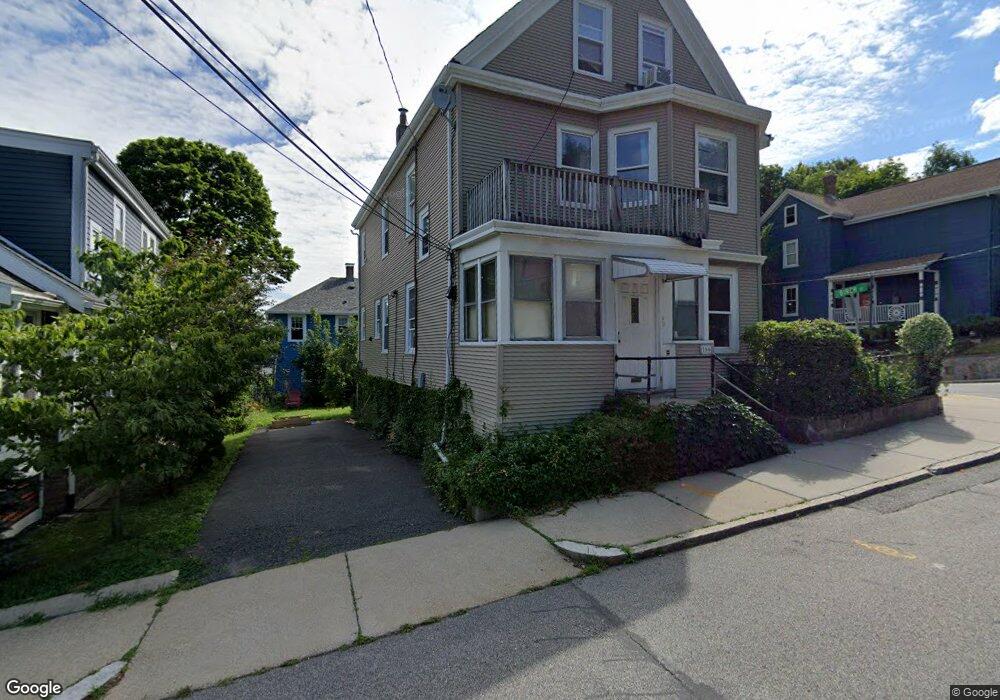
166 Durnell Ave Roslindale, MA 02131
Roslindale NeighborhoodEstimated Value: $932,000 - $1,192,000
2
Beds
3
Baths
750
Sq Ft
$1,443/Sq Ft
Est. Value
About This Home
First floor apartment very bright high ceilings very quiet three family house in very quiet neighborhood short walk to Roslindale village. Also included is an additional room that would be ideal for an office. Included is use of the driveway.
Ownership History
Date
Name
Owned For
Owner Type
Purchase Details
Closed on
Jan 19, 2007
Sold by
Omalley Catherine A
Bought by
Omalley Catherine A and Omalley Patrick J
Current Estimated Value
Home Financials for this Owner
Home Financials are based on the most recent Mortgage that was taken out on this home.
Original Mortgage
$240,000
Outstanding Balance
$142,864
Interest Rate
6.14%
Mortgage Type
Purchase Money Mortgage
Estimated Equity
$939,179
Create a Home Valuation Report for This Property
The Home Valuation Report is an in-depth analysis detailing your home's value as well as a comparison with similar homes in the area
Home Values in the Area
Average Home Value in this Area
Purchase History
| Date | Buyer | Sale Price | Title Company |
|---|---|---|---|
| Omalley Catherine A | -- | -- |
Source: Public Records
Mortgage History
| Date | Status | Borrower | Loan Amount |
|---|---|---|---|
| Open | Omalley Catherine A | $240,000 |
Source: Public Records
Property History
| Date | Event | Price | List to Sale | Price per Sq Ft |
|---|---|---|---|---|
| 11/01/2024 11/01/24 | For Rent | $1,800 | 0.0% | -- |
| 10/08/2024 10/08/24 | Off Market | $1,800 | -- | -- |
Tax History Compared to Growth
Tax History
| Year | Tax Paid | Tax Assessment Tax Assessment Total Assessment is a certain percentage of the fair market value that is determined by local assessors to be the total taxable value of land and additions on the property. | Land | Improvement |
|---|---|---|---|---|
| 2025 | $9,322 | $805,000 | $248,400 | $556,600 |
| 2024 | $7,651 | $701,900 | $202,200 | $499,700 |
| 2023 | $7,538 | $701,900 | $202,200 | $499,700 |
| 2022 | $7,137 | $656,000 | $189,000 | $467,000 |
| 2021 | $6,796 | $636,900 | $183,500 | $453,400 |
| 2020 | $6,252 | $592,000 | $180,400 | $411,600 |
| 2019 | $5,889 | $558,700 | $135,300 | $423,400 |
| 2018 | $5,325 | $508,100 | $135,300 | $372,800 |
| 2017 | $5,173 | $488,500 | $135,300 | $353,200 |
| 2016 | $4,885 | $444,100 | $135,300 | $308,800 |
| 2015 | $4,584 | $378,500 | $134,800 | $243,700 |
| 2014 | $4,622 | $367,400 | $134,800 | $232,600 |
Source: Public Records
Map
Nearby Homes
- 142 Birch St
- 142 Birch St Unit 2
- 142 Birch St Unit 1
- 34 Averton St
- 6 Hayes Rd Unit 16
- 80 Roslindale Ave Unit 3
- 52 Metropolitan Ave Unit 3
- 55 Metropolitan Ave
- 105 Orange St
- 276 Cornell St
- 29 Rosecliff St
- 69 Metropolitan Ave
- 65 Birch St Unit 3
- 40 Newburg St Unit 1
- 103 Belgrade Ave Unit 2
- 146 Kittredge St Unit 2
- 15 Newburg St Unit 1
- 3 Whitford St
- 46 Belgrade Ave Unit 2
- 4281 Washington St Unit 4B
- 166 Durnell Ave Unit 166 Durnell
- 162 Durnell Ave
- 153 Birch St
- 172 Durnell Ave
- 158 Durnell Ave
- 158 Durnell Ave Unit 1
- 163 Durnell Ave
- 169 Durnell Ave
- 149 Birch St
- 148 Birch St
- 176 Durnell Ave
- 124-126 Roslindale Ave
- 124 Roslindale Ave Unit 126
- 132 Roslindale Ave Unit 134
- 154 Durnell Ave
- 154 Durnell Ave Unit 1
- 154 Durnell Ave Unit 2
- 145 Birch St
- 122 Roslindale Ave
- 126 Roslindale Ave Unit 126