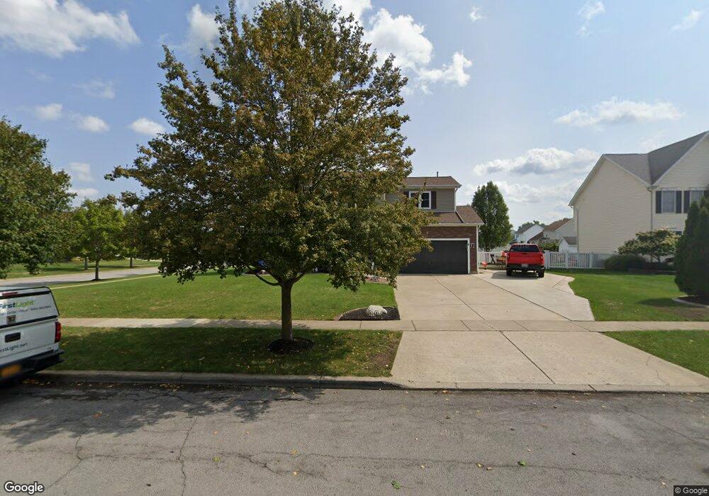
166 Nathans Trail Lancaster, NY 14086
Estimated Value: $479,902 - $546,000
4
Beds
2
Baths
2,052
Sq Ft
$251/Sq Ft
Est. Value
About This Home
This home is located at 166 Nathans Trail, Lancaster, NY 14086 and is currently estimated at $514,226, approximately $250 per square foot. 166 Nathans Trail is a home located in Erie County with nearby schools including William Street School, Lancaster Middle School, and Lancaster High School.
Ownership History
Date
Name
Owned For
Owner Type
Purchase Details
Closed on
Oct 22, 2002
Sold by
Ferry Walter
Bought by
Thrush Robert W and Thrush Tammy L
Current Estimated Value
Home Financials for this Owner
Home Financials are based on the most recent Mortgage that was taken out on this home.
Original Mortgage
$133,000
Outstanding Balance
$55,396
Interest Rate
6.2%
Mortgage Type
Purchase Money Mortgage
Estimated Equity
$458,830
Create a Home Valuation Report for This Property
The Home Valuation Report is an in-depth analysis detailing your home's value as well as a comparison with similar homes in the area
Home Values in the Area
Average Home Value in this Area
Purchase History
| Date | Buyer | Sale Price | Title Company |
|---|---|---|---|
| Thrush Robert W | $30,000 | -- | |
| Thrush Robert W | $30,000 | -- | |
| Thrush Robert W | $30,000 | -- |
Source: Public Records
Mortgage History
| Date | Status | Borrower | Loan Amount |
|---|---|---|---|
| Open | Thrush Robert W | $133,000 | |
| Closed | Thrush Robert W | $133,000 |
Source: Public Records
Tax History
| Year | Tax Paid | Tax Assessment Tax Assessment Total Assessment is a certain percentage of the fair market value that is determined by local assessors to be the total taxable value of land and additions on the property. | Land | Improvement |
|---|---|---|---|---|
| 2024 | $7,871 | $282,000 | $70,000 | $212,000 |
| 2023 | $7,847 | $282,000 | $70,000 | $212,000 |
| 2022 | $7,631 | $282,000 | $70,000 | $212,000 |
| 2021 | $7,536 | $282,000 | $70,000 | $212,000 |
| 2020 | $7,241 | $282,000 | $70,000 | $212,000 |
| 2019 | $6,510 | $218,000 | $35,000 | $183,000 |
| 2018 | $6,771 | $218,000 | $35,000 | $183,000 |
| 2017 | $3,308 | $218,000 | $35,000 | $183,000 |
| 2016 | $6,537 | $218,000 | $35,000 | $183,000 |
| 2015 | -- | $218,000 | $35,000 | $183,000 |
| 2014 | -- | $218,000 | $35,000 | $183,000 |
Source: Public Records
Map
Nearby Homes
- 5252 William St
- 203 Siebert Rd
- 14 Park Walk
- 24 Waltham Ave
- 12 Arrow Trail
- 114 6th Ave
- 25 Windsor Ridge Dr
- 47 6th Ave
- 4 Fieldstream Ln
- 22 Washington St
- 42 Worthington Ln
- 27 Lombardy St
- 11 Cemetery Rd
- 14 Lombardy St
- 37 Richmond Ave
- 457 Aurora St
- 18 James Place
- 6 Fieldstream Ln
- The Ryley Plan at Fieldstream Estates
- The Lennox Plan at Fieldstream Estates
- 160 Nathans Trail
- 1 Katelyn Ln
- 168 Nathans Trail
- 3 Katelyn Ln
- 156 Nathans Trail
- 163 Nathans Trail
- 148 Nathans Trail
- 165 Nathans Trail
- 2 Katelyn Ln
- 161 Nathans Trail
- 167 Nathans Trail
- 146 Nathans Trail
- 5 Katelyn Ln
- 4 Katelyn Ln
- 159 Nathans Trail
- 170 Nathans Trail
- 169 Nathans Trail
- 144 Nathans Trail
- 6 Katelyn Ln
- 7 Katelyn Ln