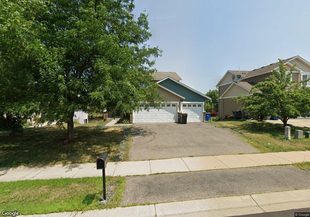
1661 Nordland St Shakopee, MN 55379
Estimated Value: $394,000 - $444,000
3
Beds
3
Baths
1,423
Sq Ft
$291/Sq Ft
Est. Value
About This Home
This home is located at 1661 Nordland St, Shakopee, MN 55379 and is currently estimated at $414,124, approximately $291 per square foot. 1661 Nordland St is a home located in Scott County with nearby schools including Jackson Elementary School, East Middle School, and Shakopee Senior High School.
Ownership History
Date
Name
Owned For
Owner Type
Purchase Details
Closed on
Sep 2, 2014
Sold by
Browne Bradford W and Pratt Myrna G
Bought by
Pratt Myrna G
Current Estimated Value
Purchase Details
Closed on
Jul 19, 2009
Sold by
Shamrock Development Inc
Bought by
Pratt Myrna G and Browne Bradford W
Purchase Details
Closed on
Sep 11, 2008
Sold by
M W Johnson Construction Inc
Bought by
Shamrock Development Inc
Create a Home Valuation Report for This Property
The Home Valuation Report is an in-depth analysis detailing your home's value as well as a comparison with similar homes in the area
Home Values in the Area
Average Home Value in this Area
Purchase History
| Date | Buyer | Sale Price | Title Company |
|---|---|---|---|
| Pratt Myrna G | -- | None Available | |
| Pratt Myrna G | $44,900 | -- | |
| Shamrock Development Inc | $3,000,000 | -- |
Source: Public Records
Tax History Compared to Growth
Tax History
| Year | Tax Paid | Tax Assessment Tax Assessment Total Assessment is a certain percentage of the fair market value that is determined by local assessors to be the total taxable value of land and additions on the property. | Land | Improvement |
|---|---|---|---|---|
| 2025 | $3,912 | $367,200 | $140,200 | $227,000 |
| 2024 | $3,826 | $380,600 | $152,400 | $228,200 |
| 2023 | $3,958 | $360,600 | $143,700 | $216,900 |
| 2022 | $3,808 | $366,000 | $143,700 | $222,300 |
| 2021 | $3,308 | $306,200 | $116,300 | $189,900 |
| 2020 | $3,538 | $292,300 | $105,200 | $187,100 |
| 2019 | $3,454 | $276,100 | $94,900 | $181,200 |
| 2018 | $3,720 | $0 | $0 | $0 |
| 2016 | $3,512 | $0 | $0 | $0 |
| 2014 | -- | $0 | $0 | $0 |
Source: Public Records
Map
Nearby Homes
- 1646 Liberty Cir
- 1574 Liberty Cir Unit 2406
- 1619 Nordland St
- 1625 Liberty Cir
- 1660 Liberty St
- 1534 Liberty Cir
- 1507 Liberty Cir
- 125 Pottok Ln
- 627 Providence Dr
- 291 Appleblossom Ln
- 826 Princeton Ave
- 849 Providence Dr
- 820 Princeton Ave Unit 4505
- 1573 Creekside Ln
- 1688 Countryside Dr
- 508 Hackney Ave
- 970 Westchester Ave
- 793 Lupine Ct
- 348 Columbine Ln
- 736 Barrington Dr E
- 1655 Nordland St
- 1669 Nordland St
- 1673 Nordland St
- 1649 Nordland St
- 295 Ardennes Ave E
- 1643 Nordland St
- 294 Kiso Ave
- 296 Ardennes Ave E
- 1685 Nordland St
- 1637 Nordland St
- 275 Ardennes Ave E
- 1598 Liberty Cir
- 1628 Liberty Cir
- 1606 Liberty Cir
- 274 Kiso Ave
- 1616 Liberty Cir
- 1588 Liberty Cir
- 1588 Liberty Cir Unit 2301
- 276 Ardennes Ave E
- 1596 Liberty Cir