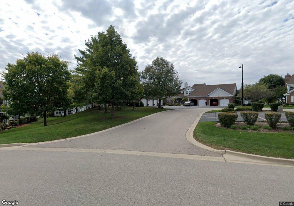
1663 Edgewood Dr Unit 312 Algonquin, IL 60102
Estimated Value: $265,414 - $328,000
2
Beds
3
Baths
1,854
Sq Ft
$164/Sq Ft
Est. Value
About This Home
This home is located at 1663 Edgewood Dr Unit 312, Algonquin, IL 60102 and is currently estimated at $304,104, approximately $164 per square foot. 1663 Edgewood Dr Unit 312 is a home located in McHenry County with nearby schools including Westfield Community School, Kenneth E Neubert Elementary School, and Harry D Jacobs High School.
Ownership History
Date
Name
Owned For
Owner Type
Purchase Details
Closed on
Jun 29, 2020
Sold by
Trust Number 1663
Bought by
Chicago Title Land Trust Company and Trust Number 80023836320
Current Estimated Value
Purchase Details
Closed on
Nov 20, 1997
Sold by
Addante Vince and Addante Karen
Bought by
Addante Vincent A and Addante Karen
Purchase Details
Closed on
Apr 30, 1996
Sold by
Federal National Mortgage Association
Bought by
Addante Vince and Addante Karen
Create a Home Valuation Report for This Property
The Home Valuation Report is an in-depth analysis detailing your home's value as well as a comparison with similar homes in the area
Purchase History
| Date | Buyer | Sale Price | Title Company |
|---|---|---|---|
| Chicago Title Land Trust Company | -- | Chicago Title Co | |
| Addante Vincent A | -- | -- | |
| Addante Vince | -- | Attorneys Natl Title Network |
Source: Public Records
Tax History
| Year | Tax Paid | Tax Assessment Tax Assessment Total Assessment is a certain percentage of the fair market value that is determined by local assessors to be the total taxable value of land and additions on the property. | Land | Improvement |
|---|---|---|---|---|
| 2024 | $5,012 | $80,065 | $15,898 | $64,167 |
| 2023 | $4,655 | $71,608 | $14,219 | $57,389 |
| 2022 | $4,828 | $67,301 | $22,456 | $44,845 |
| 2021 | $4,587 | $62,698 | $20,920 | $41,778 |
| 2020 | $4,443 | $60,478 | $20,179 | $40,299 |
| 2019 | $4,305 | $57,885 | $19,314 | $38,571 |
| 2018 | $4,805 | $61,409 | $17,842 | $43,567 |
| 2017 | $4,665 | $57,851 | $16,808 | $41,043 |
| 2016 | $4,549 | $54,259 | $15,764 | $38,495 |
| 2013 | -- | $52,679 | $14,706 | $37,973 |
Source: Public Records
Map
Nearby Homes
- 1002 Interloch Ct Unit 152
- 1621 Glengarry Ct Unit 131
- 1850 White Oak Dr
- 2051 Carlisle St
- 18 Peach Tree Ct Unit 4154
- SWC Talaga and Algonquin Rd
- 2161 Burnham Ct
- 2054 Peach Tree Ln Unit 4171
- 2069 Peach Tree Ln Unit 4116
- 681 Majestic Dr
- 1157 Sawmill Ln
- 1900 Waverly Ln
- 621 Kirkland Dr
- 1920 Jester Ln
- 1030 Glenmont St
- 1181 Glenmont St
- 615 Harper Dr
- 1000 Glenmont St
- 325 Stonegate Rd Unit 1
- 350 Cold Spring St
- 1661 Edgewood Dr Unit 311
- 1667 Edgewood Dr
- 1077 Saint Andrews Ct Unit 304
- 1073 Saint Andrews Ct Unit 303
- 1075 Saint Andrews Ct Unit 302
- 1073 Saint Andrews Ct Unit 4
- 1075 Saint Andrews Ct Unit 1
- 1671 Edgewood Dr
- 1673 Edgewood Dr
- 1113 Saint Andrews Ct Unit 283
- 1111 Saint Andrews Ct Unit 282
- 1117 Saint Andrews Ct Unit 284
- 1675 Edgewood Dr Unit 321
- 1677 Edgewood Dr Unit 323
- 1677 Edgewood Dr Unit 1677
- 1071 Saint Andrews Ct Unit 301
- 1071 Saint Andrews Ct Unit 1071
- 1093 Saint Andrews Ct Unit 293
- 1662 Edgewood Dr Unit 634
Your Personal Tour Guide
Ask me questions while you tour the home.