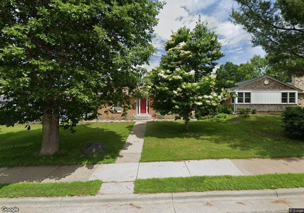
1663 Saunders Ave Saint Paul, MN 55116
Highland Park NeighborhoodEstimated Value: $484,000 - $527,000
2
Beds
2
Baths
1,344
Sq Ft
$384/Sq Ft
Est. Value
About This Home
This home is located at 1663 Saunders Ave, Saint Paul, MN 55116 and is currently estimated at $515,974, approximately $383 per square foot. 1663 Saunders Ave is a home located in Ramsey County with nearby schools including Expo for Excellence Elementary School, Highland Park Middle School, and Highland Park Senior High.
Ownership History
Date
Name
Owned For
Owner Type
Purchase Details
Closed on
Jun 13, 2017
Sold by
Storm Jean
Bought by
Macswain Ryan S and Cho Macswain Jenny G
Current Estimated Value
Home Financials for this Owner
Home Financials are based on the most recent Mortgage that was taken out on this home.
Original Mortgage
$324,900
Interest Rate
3.9%
Mortgage Type
New Conventional
Purchase Details
Closed on
Oct 15, 2002
Sold by
Wilf Irene
Bought by
Storm Joan and Tubbs Jeffrey D
Create a Home Valuation Report for This Property
The Home Valuation Report is an in-depth analysis detailing your home's value as well as a comparison with similar homes in the area
Home Values in the Area
Average Home Value in this Area
Purchase History
| Date | Buyer | Sale Price | Title Company |
|---|---|---|---|
| Macswain Ryan S | $352,364 | Network Title Inc | |
| Storm Joan | $48,750 | -- |
Source: Public Records
Mortgage History
| Date | Status | Borrower | Loan Amount |
|---|---|---|---|
| Previous Owner | Macswain Ryan S | $324,900 |
Source: Public Records
Tax History Compared to Growth
Tax History
| Year | Tax Paid | Tax Assessment Tax Assessment Total Assessment is a certain percentage of the fair market value that is determined by local assessors to be the total taxable value of land and additions on the property. | Land | Improvement |
|---|---|---|---|---|
| 2025 | $6,872 | $504,300 | $159,000 | $345,300 |
| 2023 | $6,872 | $445,400 | $159,000 | $286,400 |
| 2022 | $6,350 | $430,400 | $159,000 | $271,400 |
| 2021 | $5,688 | $393,600 | $159,000 | $234,600 |
| 2020 | $6,020 | $367,600 | $159,000 | $208,600 |
| 2019 | $5,892 | $361,900 | $159,000 | $202,900 |
| 2018 | $4,516 | $350,600 | $159,000 | $191,600 |
| 2017 | $4,406 | $274,900 | $159,000 | $115,900 |
| 2016 | $4,300 | $0 | $0 | $0 |
| 2015 | $4,556 | $250,200 | $137,100 | $113,100 |
| 2014 | $4,702 | $0 | $0 | $0 |
Source: Public Records
Map
Nearby Homes
- 1705 Ford Pkwy
- 1647 Montreal Ave
- 1759 Montreal Ave
- 1776 Ford Pkwy
- 1778 Ford Pkwy
- 1712 Highland Pkwy
- 1841 W Saunders Ave
- 1846 Saunders Ave
- 1756 Eleanor Ave
- 1857 Ford Pkwy
- 1022 Fairview Ave S
- 1625 Scheffer Ave
- 1856 Highland Pkwy
- 1886 Rome Ave
- 1631 Bayard Ave
- 1501 Eleanor Ave
- 1885 W Eleanor Ave
- 1941 Ford Pkwy Unit 102
- 2040 Edgcumbe Rd
- 580 Snelling Ave S Unit 4
- 1657 Saunders Ave
- 1669 Saunders Ave
- 1651 Saunders Ave
- 1675 Saunders Ave
- 1664 Beechwood Ave
- 1645 Saunders Ave
- 1681 Saunders Ave
- 1652 Beechwood Ave
- 1670 Beechwood Ave
- 1648 Beechwood Ave
- 1641 Saunders Ave
- 1678 Beechwood Ave
- 1687 Saunders Ave
- 1642 Beechwood Ave
- 1684 Beechwood Ave
- 1635 Saunders Ave
- 1691 Saunders Ave
- 1636 Beechwood Ave
- 1690 Beechwood Ave
- 1661 Beechwood Ave