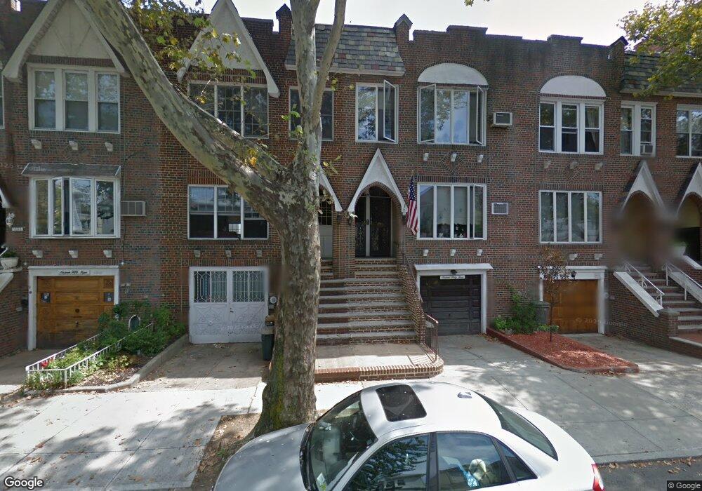
1663 W 3rd St Brooklyn, NY 11223
Gravesend NeighborhoodEstimated Value: $1,276,054 - $1,676,000
Studio
--
Bath
2,436
Sq Ft
$593/Sq Ft
Est. Value
About This Home
This home is located at 1663 W 3rd St, Brooklyn, NY 11223 and is currently estimated at $1,445,764, approximately $593 per square foot. 1663 W 3rd St is a home located in Kings County with nearby schools including P.S.177 The Marlboro, Is 228 David A Boody, and Success Academy Charter School - Bensonhurst.
Ownership History
Date
Name
Owned For
Owner Type
Purchase Details
Closed on
Jul 7, 2020
Sold by
Fleming Maria T
Bought by
Fleming Patrick C and Fleming Maria T
Current Estimated Value
Purchase Details
Closed on
Aug 30, 2012
Sold by
Triscritti Deceased Charles M
Bought by
Fleming Maria T
Purchase Details
Closed on
Sep 14, 2000
Sold by
Triscritti Charles M
Bought by
Fleming Maria T
Create a Home Valuation Report for This Property
The Home Valuation Report is an in-depth analysis detailing your home's value as well as a comparison with similar homes in the area
Home Values in the Area
Average Home Value in this Area
Purchase History
| Date | Buyer | Sale Price | Title Company |
|---|---|---|---|
| Fleming Patrick C | -- | -- | |
| Fleming Maria T | -- | -- | |
| Fleming Maria T | -- | Commonwealth Land Title Ins |
Source: Public Records
Tax History
| Year | Tax Paid | Tax Assessment Tax Assessment Total Assessment is a certain percentage of the fair market value that is determined by local assessors to be the total taxable value of land and additions on the property. | Land | Improvement |
|---|---|---|---|---|
| 2025 | $8,999 | $78,360 | $13,020 | $65,340 |
| 2024 | $8,999 | $67,740 | $13,020 | $54,720 |
| 2023 | $8,569 | $77,520 | $13,020 | $64,500 |
| 2022 | $8,415 | $70,380 | $13,020 | $57,360 |
| 2021 | $8,809 | $77,220 | $13,020 | $64,200 |
| 2020 | $4,122 | $79,080 | $13,020 | $66,060 |
| 2019 | $7,762 | $79,080 | $13,020 | $66,060 |
| 2018 | $7,108 | $36,327 | $6,008 | $30,319 |
| 2017 | $7,106 | $36,327 | $7,038 | $29,289 |
| 2016 | $6,898 | $36,054 | $8,350 | $27,704 |
| 2015 | $3,914 | $34,014 | $9,273 | $24,741 |
| 2014 | $3,914 | $32,089 | $10,493 | $21,596 |
Source: Public Records
Map
Nearby Homes
- 1684 W 2nd St
- 320 Avenue P
- 1632 W 4th St
- 339 Avenue P Unit 2B
- 339 Avenue P Unit 2A
- 1543 W 1st St Unit D1
- 251 Avenue P
- 332 Kings Hwy
- 1560 W 2nd St
- 380 Avenue P
- 314 Kings Hwy
- 2500 65th St
- 1806 McDonald Ave
- 1549 W 3rd St Unit 2
- 1549 W 3rd St Unit 5B
- 1653 W 7th St Unit 1F
- 1683 W 7th St Unit 2B
- 1683 W 7th St Unit 3A
- 1683 W 7th St Unit 3B
- 1683 W 7th St Unit 4B
Your Personal Tour Guide
Ask me questions while you tour the home.