16640 Power Line Rd Redding, CA 96001
Centerville NeighborhoodEstimated Value: $416,000 - $456,000
3
Beds
2
Baths
1,592
Sq Ft
$272/Sq Ft
Est. Value
About This Home
This home is located at 16640 Power Line Rd, Redding, CA 96001 and is currently estimated at $432,968, approximately $271 per square foot. 16640 Power Line Rd is a home located in Shasta County with nearby schools including Grant Elementary School, Shasta High School, and University Preparatory.
Ownership History
Date
Name
Owned For
Owner Type
Purchase Details
Closed on
Mar 3, 2003
Sold by
Wright Robert D and Wright Beth A
Bought by
Ragsdale Terry H and Ragsdale Dorothy R
Current Estimated Value
Home Financials for this Owner
Home Financials are based on the most recent Mortgage that was taken out on this home.
Original Mortgage
$143,000
Interest Rate
5.83%
Mortgage Type
Construction
Purchase Details
Closed on
Dec 24, 2002
Sold by
Reeves Frank E and Reeves Evelyn V
Bought by
Wright Robert D and Wright Beth A
Create a Home Valuation Report for This Property
The Home Valuation Report is an in-depth analysis detailing your home's value as well as a comparison with similar homes in the area
Home Values in the Area
Average Home Value in this Area
Purchase History
| Date | Buyer | Sale Price | Title Company |
|---|---|---|---|
| Ragsdale Terry H | $65,000 | Placer Title Company | |
| Wright Robert D | -- | First American Title Co | |
| Wright Robert D | $43,000 | First American Title Co |
Source: Public Records
Mortgage History
| Date | Status | Borrower | Loan Amount |
|---|---|---|---|
| Previous Owner | Ragsdale Terry H | $143,000 |
Source: Public Records
Tax History
| Year | Tax Paid | Tax Assessment Tax Assessment Total Assessment is a certain percentage of the fair market value that is determined by local assessors to be the total taxable value of land and additions on the property. | Land | Improvement |
|---|---|---|---|---|
| 2025 | $3,772 | $351,479 | $94,130 | $257,349 |
| 2024 | $3,708 | $344,588 | $92,285 | $252,303 |
| 2023 | $3,708 | $337,832 | $90,476 | $247,356 |
| 2022 | $3,615 | $331,208 | $88,702 | $242,506 |
| 2021 | $3,543 | $324,714 | $86,963 | $237,751 |
| 2020 | $3,639 | $321,386 | $86,072 | $235,314 |
| 2019 | $2,873 | $258,000 | $74,000 | $184,000 |
| 2018 | $3,086 | $258,000 | $74,000 | $184,000 |
| 2017 | $2,753 | $245,000 | $70,000 | $175,000 |
| 2016 | $2,576 | $230,000 | $65,000 | $165,000 |
| 2015 | $2,458 | $219,000 | $60,000 | $159,000 |
| 2014 | $2,472 | $219,000 | $60,000 | $159,000 |
Source: Public Records
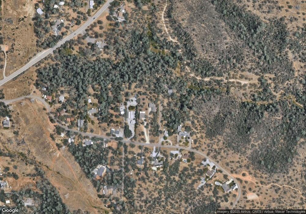
Map
Nearby Homes
- 16755 Thompson Ln
- 0 Thompson Ln
- 9329 Irish Creek Ln
- 16928 Campo Calle
- 0 Chaparral Dr
- 9472 Chaparral Dr
- 9380 Placer Rd
- 16520 Blarney Ln
- 4174 Winter Green Ct
- 4268 Boston Ave
- 9246 Chaparral Dr
- 4165 Sunglow Dr
- 4550 Placer Rd
- 4519 Nantucket Dr
- 0 Rd
- 0 Lot 3 Silver King
- 2242 Everest Dr
- 1783 Record Ln
- 2358 Cumberland Dr
- 16322 Towerview Cir
- 16632 Power Line Rd
- 16624 Power Line Rd
- 9347 Canyon Hollow Dr
- 16652 Power Line Rd
- 16608 Power Line Rd
- 16666 Power Line Rd
- 0 Powerline
- 0 Redman Ln
- 16604 Power Line Rd
- 16590 Power Line Rd
- 16649 Power Line Rd
- 16665 Power Line Rd
- 16582 Power Line Rd
- 16595 Power Line Rd
- 16556 Power Line Rd
- 9302 Redman Ln
- 16671 Power Line Rd
- 16550 Power Line Rd
- 16573 Power Line Rd
- 9276 Redman Ln
Your Personal Tour Guide
Ask me questions while you tour the home.