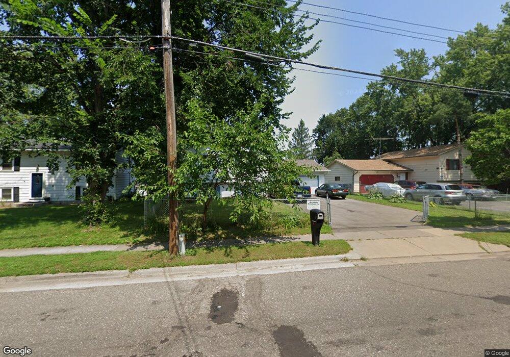
1667 Burns Ave Saint Paul, MN 55106
Battle Creek NeighborhoodEstimated Value: $278,000 - $350,000
4
Beds
1
Bath
962
Sq Ft
$319/Sq Ft
Est. Value
About This Home
This home is located at 1667 Burns Ave, Saint Paul, MN 55106 and is currently estimated at $306,942, approximately $319 per square foot. 1667 Burns Ave is a home located in Ramsey County with nearby schools including Highwood Hills Elementary School, Battle Creek Middle School, and Harding Senior High School.
Ownership History
Date
Name
Owned For
Owner Type
Purchase Details
Closed on
Sep 6, 2022
Sold by
Awasom and Valentine
Bought by
Yang Xao
Current Estimated Value
Purchase Details
Closed on
Oct 24, 2016
Sold by
Roldan Arnulfo and Roldan Laura
Bought by
Yang Tony and Vang Kalal
Purchase Details
Closed on
May 2, 2016
Sold by
Nationstar Mortgage Llc
Bought by
Federal National Mortgage Association
Purchase Details
Closed on
Apr 26, 2016
Sold by
Roldan Arnulfo
Bought by
Nationstar Mortgage Llc
Purchase Details
Closed on
Sep 30, 2003
Sold by
Jaeger Thomas E and Jaeger Pamela S
Bought by
Roclan Arnulfo
Create a Home Valuation Report for This Property
The Home Valuation Report is an in-depth analysis detailing your home's value as well as a comparison with similar homes in the area
Home Values in the Area
Average Home Value in this Area
Purchase History
| Date | Buyer | Sale Price | Title Company |
|---|---|---|---|
| Yang Xao | $337,000 | -- | |
| Yang Tony | $128,787 | Home Title Inc | |
| Federal National Mortgage Association | -- | None Available | |
| Nationstar Mortgage Llc | $132,823 | None Available | |
| Roclan Arnulfo | $165,000 | -- |
Source: Public Records
Tax History Compared to Growth
Tax History
| Year | Tax Paid | Tax Assessment Tax Assessment Total Assessment is a certain percentage of the fair market value that is determined by local assessors to be the total taxable value of land and additions on the property. | Land | Improvement |
|---|---|---|---|---|
| 2025 | $4,002 | $258,300 | $50,700 | $207,600 |
| 2023 | $4,002 | $266,600 | $31,500 | $235,100 |
| 2022 | $3,252 | $268,300 | $31,500 | $236,800 |
| 2021 | $3,096 | $213,800 | $31,500 | $182,300 |
| 2020 | $2,794 | $198,700 | $31,500 | $167,200 |
| 2019 | $2,132 | $181,800 | $31,500 | $150,300 |
| 2018 | $2,294 | $142,700 | $31,500 | $111,200 |
| 2017 | $2,366 | $150,500 | $31,500 | $119,000 |
| 2016 | $2,292 | $0 | $0 | $0 |
| 2015 | $2,290 | $136,600 | $31,500 | $105,100 |
| 2014 | $2,070 | $0 | $0 | $0 |
Source: Public Records
Map
Nearby Homes
- 237 Sigurd St
- 1747 Louise Ave
- 267 Hazelwood St
- 1600 Old Hudson Rd
- 201 Dora Ct W
- 125 Battle Creek Place
- 136 White Bear Ave N
- 1538 Wilson Ave
- 1821 Wilson Ave
- 49 Battle Creek Place
- 1935 Warbler Ln
- 1685 Fremont Ave
- 244 Point Douglas Rd N
- 1333 Pacific St
- 500 Etna St Unit 104
- 1450 Fremont Ave
- 1989 N Park Dr
- 138 Ruth St N Unit 9
- 271 English St
- 1320 Wilson Ave
- 1661 Burns Ave
- 1671 Burns Ave
- 260 Kennard St
- 260 260 Kennard-Street-
- 1677 Burns Ave
- 1683 Burns Ave
- 268 268 Kennard-Street-
- 268 Kennard St
- 1655 Burns Ave
- 1670 1670 Burns-Avenue-
- 1651 Burns Ave
- 274 Kennard St
- 1656 Suburban Ave
- 1670 Burns Ave
- 1691 Burns Ave
- 1680 Burns Ave
- 1672 Burns Ave
- 1656 Burns Ave
- 1660 Burns Ave
- 1650 Suburban Ave