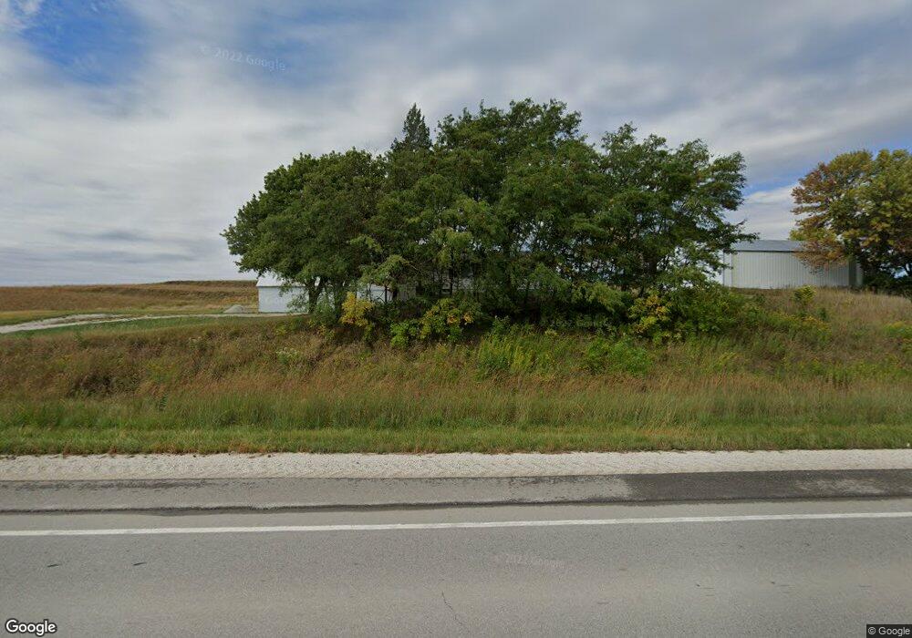
1667 Highway 71 Audubon, IA 50025
Estimated Value: $211,000 - $313,038
--
Bed
2
Baths
1,330
Sq Ft
$192/Sq Ft
Est. Value
About This Home
This home is located at 1667 Highway 71, Audubon, IA 50025 and is currently estimated at $255,013, approximately $191 per square foot. 1667 Highway 71 is a home located in Audubon County with nearby schools including Audubon Elementary School and Audubon Middle/High School.
Ownership History
Date
Name
Owned For
Owner Type
Purchase Details
Closed on
May 27, 2025
Sold by
Bauer Theodore V and Bauer Donna M
Bought by
Theodore V Bauer Revocable Trust and Donna M Bauer Revocable Trust
Current Estimated Value
Purchase Details
Closed on
Dec 22, 2020
Sold by
Manatt Margaret K
Bought by
Taylor Hill Homestead Llc Series Ii
Purchase Details
Closed on
Dec 12, 2020
Sold by
Manatt Margaret K
Bought by
1879 Taylor Hill Homestead Llc
Purchase Details
Closed on
Jun 2, 2015
Sold by
Manatt Kathy
Bought by
Manatt Margaret K and Manatt Daniel Charles
Create a Home Valuation Report for This Property
The Home Valuation Report is an in-depth analysis detailing your home's value as well as a comparison with similar homes in the area
Home Values in the Area
Average Home Value in this Area
Purchase History
| Date | Buyer | Sale Price | Title Company |
|---|---|---|---|
| Theodore V Bauer Revocable Trust | -- | None Listed On Document | |
| Taylor Hill Homestead Llc Series Ii | -- | None Available | |
| 1879 Taylor Hill Homestead Llc | -- | Hockenberry Justin D | |
| Manatt Margaret K | -- | None Available |
Source: Public Records
Tax History Compared to Growth
Tax History
| Year | Tax Paid | Tax Assessment Tax Assessment Total Assessment is a certain percentage of the fair market value that is determined by local assessors to be the total taxable value of land and additions on the property. | Land | Improvement |
|---|---|---|---|---|
| 2025 | $2,708 | $222,840 | $82,470 | $140,370 |
| 2024 | $2,708 | $186,000 | $67,070 | $118,930 |
| 2023 | $2,622 | $186,000 | $67,070 | $118,930 |
| 2022 | $2,484 | $129,910 | $47,500 | $82,410 |
| 2021 | $2,340 | $132,570 | $50,160 | $82,410 |
| 2020 | $2,232 | $129,890 | $50,140 | $79,750 |
| 2019 | $1,934 | $135,690 | $0 | $0 |
| 2018 | $1,898 | $135,690 | $0 | $0 |
| 2017 | $1,794 | $132,080 | $0 | $0 |
| 2016 | $1,590 | $127,650 | $0 | $0 |
| 2015 | $1,590 | $129,710 | $0 | $0 |
| 2014 | $1,860 | $140,530 | $0 | $0 |
Source: Public Records
Map
Nearby Homes
- 5045 3rd St
- 5050 Jay Ave
- 0 Jay Ave
- 706 N Arlington St
- 707 N Arlington St
- 108 Nasby Ave
- 102 Nasby Ave
- 101 Church St
- 103 Church St
- 103 E Division St
- 1119 N Division St
- 107 & 109 Church St
- 912 Broadway St
- 907 Broadway St
- 311 2nd Ave
- 415 1st Ave
- 510 E Division St
- 512 1st Ave
- 702 Washington St
- 702 E Division St