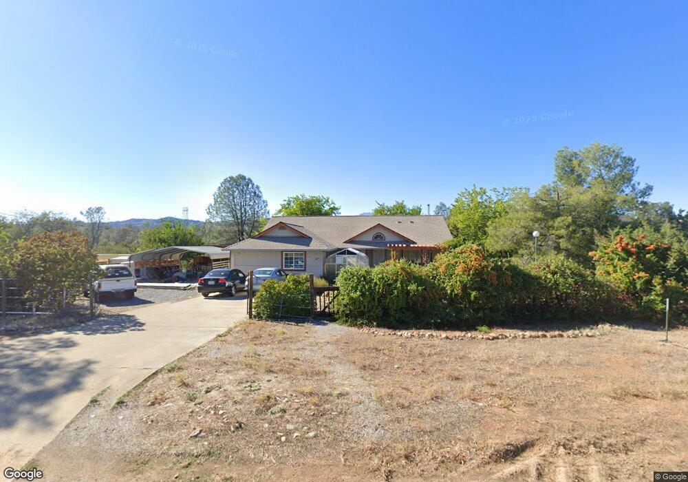
16677 Power Line Rd Redding, CA 96001
Centerville NeighborhoodEstimated Value: $396,671 - $498,000
3
Beds
2
Baths
1,703
Sq Ft
$259/Sq Ft
Est. Value
About This Home
This home is located at 16677 Power Line Rd, Redding, CA 96001 and is currently estimated at $440,418, approximately $258 per square foot. 16677 Power Line Rd is a home located in Shasta County with nearby schools including Grant Elementary School, Shasta High School, and University Preparatory.
Ownership History
Date
Name
Owned For
Owner Type
Purchase Details
Closed on
Jun 2, 2011
Sold by
Livingston James D
Bought by
Mcalexander L Breck
Current Estimated Value
Home Financials for this Owner
Home Financials are based on the most recent Mortgage that was taken out on this home.
Original Mortgage
$202,500
Outstanding Balance
$140,253
Interest Rate
4.73%
Mortgage Type
New Conventional
Estimated Equity
$300,165
Create a Home Valuation Report for This Property
The Home Valuation Report is an in-depth analysis detailing your home's value as well as a comparison with similar homes in the area
Home Values in the Area
Average Home Value in this Area
Purchase History
| Date | Buyer | Sale Price | Title Company |
|---|---|---|---|
| Mcalexander L Breck | $225,000 | First American Title Company |
Source: Public Records
Mortgage History
| Date | Status | Borrower | Loan Amount |
|---|---|---|---|
| Open | Mcalexander L Breck | $202,500 |
Source: Public Records
Tax History
| Year | Tax Paid | Tax Assessment Tax Assessment Total Assessment is a certain percentage of the fair market value that is determined by local assessors to be the total taxable value of land and additions on the property. | Land | Improvement |
|---|---|---|---|---|
| 2025 | $3,026 | $288,252 | $76,865 | $211,387 |
| 2024 | $2,974 | $282,601 | $75,358 | $207,243 |
| 2023 | $2,974 | $277,061 | $73,881 | $203,180 |
| 2022 | $2,897 | $271,630 | $72,433 | $199,197 |
| 2021 | $2,839 | $266,305 | $71,013 | $195,292 |
| 2020 | $2,934 | $263,575 | $70,285 | $193,290 |
| 2019 | $2,804 | $258,407 | $68,907 | $189,500 |
| 2018 | $2,953 | $253,341 | $67,556 | $185,785 |
| 2017 | $2,715 | $248,375 | $66,232 | $182,143 |
| 2016 | $2,646 | $243,506 | $64,934 | $178,572 |
| 2015 | $2,605 | $239,849 | $63,959 | $175,890 |
Source: Public Records
Map
Nearby Homes
- 4174 Winter Green Ct
- 4165 Sunglow Dr
- 9329 Irish Creek Ln
- 16755 Thompson Ln
- 0 Chaparral Dr
- 9472 Chaparral Dr
- 0 Thompson Ln
- 16928 Campo Calle
- 9380 Placer Rd
- 9246 Chaparral Dr
- 16520 Blarney Ln
- 0 Rd
- 4268 Boston Ave
- 4125 Sunglow Dr
- 4200 Sunglow Dr
- 4235 Sunglow Dr
- 4175 Sunglow Dr
- 4550 Placer Rd
- 0 Lot 3 Silver King
- 4365 Heather Ridge Ln
- 16878 Power Line Rd
- 0 Power Line Rd
- 16673 Power Line Rd
- 16671 Power Line Rd
- 16665 Power Line Rd
- 16649 Power Line Rd
- 16753 Power Line Rd
- 16753 Powerline
- 0 Powerline
- 0 Weseman Rd
- 9268 Redman Ln
- 16652 Power Line Rd
- 16666 Power Line Rd
- 9276 Redman Ln
- 9173 Irish Creek Ln
- 9164 Irish Creek Ln
- 9302 Redman Ln
- 0 Redman Ln
- 16877 Power Line Rd
- 16868 Power Line Rd
Your Personal Tour Guide
Ask me questions while you tour the home.