1668 Choptank Rd Middletown, DE 19709
Estimated Value: $719,000 - $1,345,142
4
Beds
6
Baths
5,430
Sq Ft
$174/Sq Ft
Est. Value
About This Home
This home is located at 1668 Choptank Rd, Middletown, DE 19709 and is currently estimated at $942,286, approximately $173 per square foot. 1668 Choptank Rd is a home located in New Castle County with nearby schools including Bunker Hill Elementary School, Everett Meredith Middle School, and Appoquinimink High School.
Ownership History
Date
Name
Owned For
Owner Type
Purchase Details
Closed on
Aug 6, 2024
Sold by
Perna Paul and Perna Carla
Bought by
Paul J Perna Revocable Trust and Carla J Perna Revocable Trust
Current Estimated Value
Purchase Details
Closed on
Feb 3, 2009
Sold by
Aerenson & Aerenson Llc
Bought by
Perna Paul and Perna Carla
Purchase Details
Closed on
Jan 21, 2008
Sold by
Shone John R and Shone Kelly A
Bought by
Wittig Robert G and Wittig Connie S
Home Financials for this Owner
Home Financials are based on the most recent Mortgage that was taken out on this home.
Original Mortgage
$620,000
Interest Rate
6.02%
Mortgage Type
Purchase Money Mortgage
Purchase Details
Closed on
Aug 23, 2006
Sold by
Shone John R and Shone Kelly A
Bought by
State Of Delaware and Department Of Transportation
Create a Home Valuation Report for This Property
The Home Valuation Report is an in-depth analysis detailing your home's value as well as a comparison with similar homes in the area
Home Values in the Area
Average Home Value in this Area
Purchase History
| Date | Buyer | Sale Price | Title Company |
|---|---|---|---|
| Paul J Perna Revocable Trust | -- | None Listed On Document | |
| Paul J Perna Revocable Trust | -- | None Listed On Document | |
| Perna Paul | -- | None Available | |
| Aerenson & Aerenson Llc | $295,000 | None Available | |
| Wittig Robert G | $800,000 | None Available | |
| State Of Delaware | $15,800 | None Available |
Source: Public Records
Mortgage History
| Date | Status | Borrower | Loan Amount |
|---|---|---|---|
| Previous Owner | Wittig Robert G | $620,000 |
Source: Public Records
Tax History
| Year | Tax Paid | Tax Assessment Tax Assessment Total Assessment is a certain percentage of the fair market value that is determined by local assessors to be the total taxable value of land and additions on the property. | Land | Improvement |
|---|---|---|---|---|
| 2024 | $11,889 | $284,100 | $35,600 | $248,500 |
| 2023 | $10,103 | $284,100 | $35,600 | $248,500 |
| 2022 | $10,176 | $284,100 | $35,600 | $248,500 |
| 2021 | $10,052 | $284,100 | $35,600 | $248,500 |
| 2020 | $9,936 | $284,100 | $35,600 | $248,500 |
| 2019 | $9,201 | $284,100 | $35,600 | $248,500 |
| 2018 | $8,855 | $284,100 | $35,600 | $248,500 |
| 2017 | $8,480 | $284,100 | $35,600 | $248,500 |
| 2016 | $7,748 | $284,100 | $35,600 | $248,500 |
| 2015 | $7,535 | $284,100 | $35,600 | $248,500 |
| 2014 | $7,519 | $284,100 | $35,600 | $248,500 |
Source: Public Records
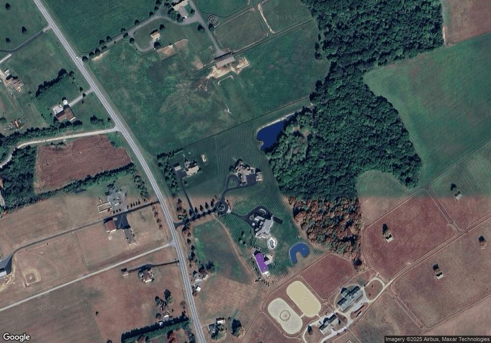
Map
Nearby Homes
- 103 Westside Ln
- 411 Crownleaf Dr
- 114 Colonel Clayton Dr
- 866 Old School House Rd
- 365 Andrew Ct
- 304 Daylilly Way
- 54 Meadow Dr
- 49 Springmill Dr
- 278 Abbotsford Dr Unit PLAZA LOT 22
- 851 Merlin Dr
- 844 Merlin Dr
- 847 Merlin Dr
- 561 Whispering Trail
- 241 Porky Oliver Dr
- 843 Merlin Dr
- 883 Merlin Dr
- 240 Abbotsford Dr Unit PHIL GRAND LOT 18
- 360 Nighthawk Dr
- 129 Ayshire Dr Unit RITTENHOUSE
- 129 Ayshire Dr Unit PLAZA
- 1660 Choptank Rd
- 1676 Choptank Rd
- 1684 Choptank Rd
- 1692 Choptank Rd
- 1671 Choptank Rd
- 1679 Choptank Rd
- 1689 Choptank Rd
- 1707 Choptank Rd
- 1706 Choptank Rd
- 1730 Choptank Rd
- 1712 Choptank Rd
- 1620 Choptank Rd
- Lot 9 Choptank Rd
- 9 Choptank Rd
- 1625 Choptank Rd
- 101 Westside Ln
- 105 Westside Ln
- 100 Westside Ln
- 107 Westside Ln
- 102 Westside Ln
Your Personal Tour Guide
Ask me questions while you tour the home.