167 Big Johns Rd Lancing, TN 37770
Estimated Value: $129,141 - $207,000
Studio
1
Bath
736
Sq Ft
$237/Sq Ft
Est. Value
About This Home
This home is located at 167 Big Johns Rd, Lancing, TN 37770 and is currently estimated at $174,714, approximately $237 per square foot. 167 Big Johns Rd is a home located in Morgan County with nearby schools including Central Elementary School, Petros Joyner Elementary School, and Central Middle School.
Ownership History
Date
Name
Owned For
Owner Type
Purchase Details
Closed on
Apr 21, 2009
Sold by
Reese Manuel L
Bought by
Reese Flora M
Current Estimated Value
Purchase Details
Closed on
May 22, 2003
Bought by
Reese Manuel L
Purchase Details
Closed on
May 15, 2003
Purchase Details
Closed on
Apr 14, 2003
Bought by
Citizens First Bank
Purchase Details
Closed on
Sep 13, 2001
Bought by
Barnett Charles
Create a Home Valuation Report for This Property
The Home Valuation Report is an in-depth analysis detailing your home's value as well as a comparison with similar homes in the area
Purchase History
| Date | Buyer | Sale Price | Title Company |
|---|---|---|---|
| Reese Flora M | -- | -- | |
| Reese Manuel L | $31,000 | -- | |
| -- | -- | -- | |
| Citizens First Bank | -- | -- | |
| Barnett Charles | $12,500 | -- |
Source: Public Records
Tax History
| Year | Tax Paid | Tax Assessment Tax Assessment Total Assessment is a certain percentage of the fair market value that is determined by local assessors to be the total taxable value of land and additions on the property. | Land | Improvement |
|---|---|---|---|---|
| 2025 | $534 | $19,650 | $0 | $0 |
| 2024 | $534 | $19,650 | $2,325 | $17,325 |
| 2023 | $534 | $19,650 | $2,325 | $17,325 |
| 2022 | $534 | $19,650 | $2,325 | $17,325 |
| 2021 | $534 | $19,650 | $2,325 | $17,325 |
| 2020 | $535 | $19,650 | $2,325 | $17,325 |
| 2019 | $535 | $16,350 | $2,400 | $13,950 |
| 2018 | $535 | $16,350 | $2,400 | $13,950 |
| 2017 | $533 | $16,350 | $2,400 | $13,950 |
| 2016 | $533 | $16,875 | $2,400 | $14,475 |
| 2015 | $523 | $16,875 | $2,400 | $14,475 |
| 2014 | $532 | $17,175 | $3,425 | $13,750 |
| 2013 | $532 | $17,167 | $0 | $0 |
Source: Public Records
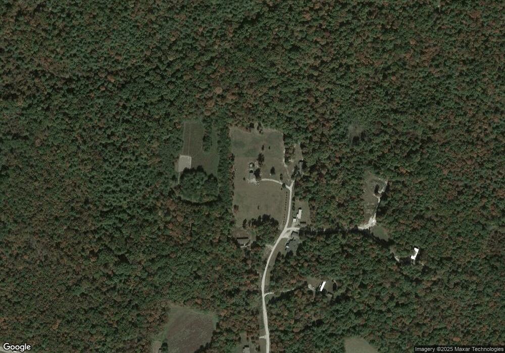
Map
Nearby Homes
- 1550 Genesis Rd
- 0 Genesis Rd
- 1725 Genesis Rd
- 952 Genesis Rd
- 0 Highway 62 Unit 1327644
- 910 Barnett Bridge Rd
- 000 Mountain View Dr
- 444 Island Ford Rd
- 6.94ac White Creek
- 0 6 25 Acres Valerie Dr
- 0 Muddy Branch Rd Unit 1305276
- 0 Muddy Branch Rd Unit 236192
- 0 10 77 Acres - Valerie Dr
- 10.77 Ac Valerie Dr
- 10.76 Acres Valerie Dr
- 6.25 Acres Valerie Dr
- 6.25 Acr Valerie Dr
- 4.14 Acres Nashville Hwy
- 414 Nashville Hwy
- 4.14 Acres Nashville Hwy
- 00 Genesis Rd
- 1541 Genesis Rd
- 1539 Genesis Rd
- 1559 Genesis Rd
- 1482 Genesis Rd
- 1521 Genesis Rd
- 1575 Genesis Rd
- 122 Frankfort Rd
- 1583 Genesis Rd
- 1464 Genesis Rd
- 106 Aytes Ln
- 1461 Genesis Rd
- 1438 Genesis Rd
- 180 Frankfort Rd
- 7 Gibson Rd
- 308 Frankfort Rd
- 1702 Genesis Rd
- 165 Frankfort Rd
- 218 Barnett Bridge Rd
- 184 Barnett Bridge Rd