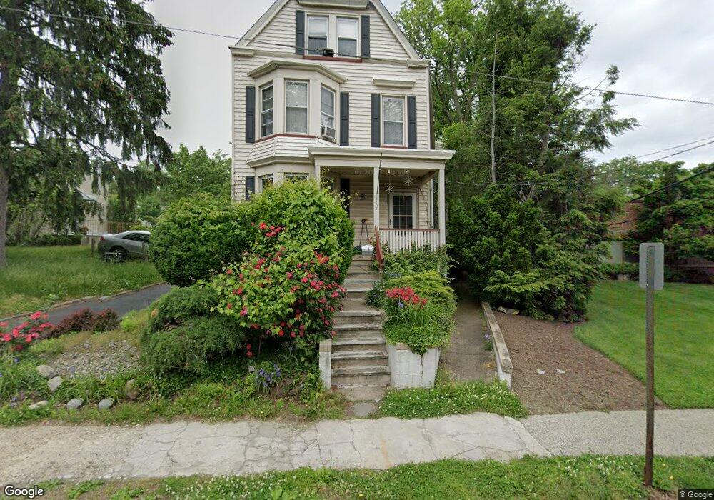
167 Millburn Ave Millburn, NJ 07041
Estimated Value: $589,000 - $1,619,000
Studio
--
Bath
2,394
Sq Ft
$459/Sq Ft
Est. Value
About This Home
This home is located at 167 Millburn Ave, Millburn, NJ 07041 and is currently estimated at $1,097,698, approximately $458 per square foot. 167 Millburn Ave is a home located in Essex County with nearby schools including Wyoming Elementary School, Millburn Middle School, and Millburn High School.
Ownership History
Date
Name
Owned For
Owner Type
Purchase Details
Closed on
Jan 25, 2013
Sold by
Abar Amir S and Abar Mahnaz
Bought by
Abar Amir S and Abar Mahnaz
Current Estimated Value
Home Financials for this Owner
Home Financials are based on the most recent Mortgage that was taken out on this home.
Original Mortgage
$350,000
Outstanding Balance
$244,330
Interest Rate
3.38%
Mortgage Type
New Conventional
Estimated Equity
$853,368
Purchase Details
Closed on
Aug 17, 1993
Sold by
Palumbo Maria
Bought by
Abar Amir S and Abar Mahnaz
Create a Home Valuation Report for This Property
The Home Valuation Report is an in-depth analysis detailing your home's value as well as a comparison with similar homes in the area
Home Values in the Area
Average Home Value in this Area
Purchase History
| Date | Buyer | Sale Price | Title Company |
|---|---|---|---|
| Abar Amir S | -- | Westcor Land Title Ins Co | |
| Abar Amir S | $190,000 | -- | |
| Abar Amir S | $190,000 | -- |
Source: Public Records
Mortgage History
| Date | Status | Borrower | Loan Amount |
|---|---|---|---|
| Open | Abar Amir S | $350,000 |
Source: Public Records
Tax History
| Year | Tax Paid | Tax Assessment Tax Assessment Total Assessment is a certain percentage of the fair market value that is determined by local assessors to be the total taxable value of land and additions on the property. | Land | Improvement |
|---|---|---|---|---|
| 2025 | $11,714 | $598,900 | $320,100 | $278,800 |
| 2024 | $11,714 | $598,900 | $320,100 | $278,800 |
| 2022 | $11,637 | $598,900 | $320,100 | $278,800 |
| 2021 | $11,607 | $598,900 | $320,100 | $278,800 |
| 2020 | $11,535 | $598,900 | $320,100 | $278,800 |
| 2019 | $11,559 | $598,900 | $320,100 | $278,800 |
| 2018 | $11,391 | $598,900 | $320,100 | $278,800 |
| 2017 | $11,116 | $598,900 | $320,100 | $278,800 |
| 2016 | $11,884 | $551,700 | $271,200 | $280,500 |
| 2015 | $11,613 | $551,700 | $271,200 | $280,500 |
| 2014 | $11,122 | $551,700 | $271,200 | $280,500 |
Source: Public Records
Map
Nearby Homes
- 15 Evergreen Terrace
- 26 Franklin St
- 30 Walnut Ave
- 161 Myrtle Ave
- 23 Reeve Cir
- 819 Ridgewood Rd
- 8 Arcadia Place
- 839 Valley St
- 839 Valley St Unit B
- 425 Wyoming Ave
- 33 Haran Cir
- 37 Cypress St
- 29 S Mountain Rd
- 22B Arcadia Place
- 84 Cedar St
- 2282 Springfield Ave
- 784 Valley St
- 148 Jockey Hollow Way
- 2140 Springfield Ave
- 2745 Vauxhall Rd
- 32 Locust Ave
- 30 Locust Ave
- 33 Locust Ave
- 31 Locust Ave
- 26 Locust Ave
- 29 Locust Ave
- 159 Millburn Ave
- 46 Locust Ave
- 27 Locust Ave
- 24 Locust Ave
- 25 Locust Ave
- 134 Myrtle Ave
- 132 Myrtle Ave
- 50 Locust Ave
- 176 Millburn Ave 1033
- 176 Millburn Ave 1033 Unit 33
- 176 Millburn Ave Co18 Unit 18
- 130 Myrtle Ave
- 785 Ridgewood Rd
- 21 Locust Ave
Your Personal Tour Guide
Ask me questions while you tour the home.