1677 State Highway 39 Aurora, MO 65605
Estimated Value: $261,372 - $410,000
--
Bed
--
Bath
1,525
Sq Ft
$216/Sq Ft
Est. Value
About This Home
This home is located at 1677 State Highway 39, Aurora, MO 65605 and is currently estimated at $329,791, approximately $216 per square foot. 1677 State Highway 39 is a home with nearby schools including Pate Early Childhood Center, Robinson Elementary School, and Robinson Intermediate School.
Ownership History
Date
Name
Owned For
Owner Type
Purchase Details
Closed on
Aug 2, 2017
Sold by
Halmagyi David
Bought by
Watson Ronald S and Watson Brandi
Current Estimated Value
Home Financials for this Owner
Home Financials are based on the most recent Mortgage that was taken out on this home.
Original Mortgage
$163,440
Outstanding Balance
$136,157
Interest Rate
3.9%
Mortgage Type
VA
Estimated Equity
$193,634
Purchase Details
Closed on
Dec 15, 2015
Sold by
Halmagyi David
Bought by
Sachs Aaron and Sachs Meschell
Home Financials for this Owner
Home Financials are based on the most recent Mortgage that was taken out on this home.
Original Mortgage
$250,000
Interest Rate
3.88%
Mortgage Type
New Conventional
Create a Home Valuation Report for This Property
The Home Valuation Report is an in-depth analysis detailing your home's value as well as a comparison with similar homes in the area
Home Values in the Area
Average Home Value in this Area
Purchase History
| Date | Buyer | Sale Price | Title Company |
|---|---|---|---|
| Watson Ronald S | -- | None Available | |
| Sachs Aaron | -- | None Available |
Source: Public Records
Mortgage History
| Date | Status | Borrower | Loan Amount |
|---|---|---|---|
| Open | Watson Ronald S | $163,440 | |
| Previous Owner | Sachs Aaron | $250,000 |
Source: Public Records
Tax History Compared to Growth
Tax History
| Year | Tax Paid | Tax Assessment Tax Assessment Total Assessment is a certain percentage of the fair market value that is determined by local assessors to be the total taxable value of land and additions on the property. | Land | Improvement |
|---|---|---|---|---|
| 2025 | $1,091 | $24,624 | $3,230 | $21,394 |
| 2024 | $1,091 | $22,762 | $3,230 | $19,532 |
| 2023 | $1,087 | $22,762 | $3,230 | $19,532 |
| 2022 | $1,063 | $22,230 | $2,698 | $19,532 |
| 2021 | $1,051 | $21,850 | $2,318 | $19,532 |
| 2020 | $1,051 | $21,850 | $2,318 | $19,532 |
| 2018 | $1,034 | $21,850 | $2,318 | $19,532 |
| 2017 | $1,023 | $21,641 | $2,318 | $19,323 |
| 2016 | $965 | $20,292 | $2,128 | $18,164 |
| 2015 | -- | $26,015 | $6,276 | $19,739 |
| 2014 | -- | $25,763 | $6,024 | $19,739 |
| 2012 | -- | $0 | $0 | $0 |
Source: Public Records
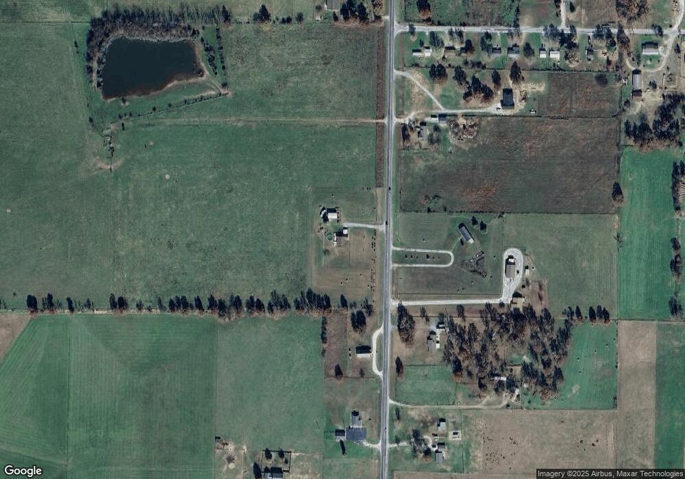
Map
Nearby Homes
- 19038 Farm Road 2020
- 1757 Farm Road 1200
- Tract 2 Farm Rd 1200
- 00 Farm Road 1200
- 00 Farm Road 1200
- 1967 Cattle Dr
- 17250 State Highway Z
- 000 Farm Road 1200
- Tract 1 Farm Rd 2020 & 1200
- Tract 2 Farm Road 1200
- 17196 Farm Road 2030
- 000 Farm Road 2000
- 16427 Farm Road 2007
- 3644 State Highway Ww
- 18371 Lawrence 2230
- 4276 State Highway Ww
- 23105 Lawrence 1200
- 000 Lawrence 2195
- Tract 1 Farm Road 1200
- 000 Lawrence 2230
- 1491 State Highway 39
- 1580 State Highway 39
- 1536 State Highway 39
- 19033 Farm Road 2015
- 19009 Farm Road 2015
- 1867 State Highway 39
- 18904 State Highway Z
- 18904 State Highway Z
- 19139 Farm Road 2015
- 19099 Farm Road 2015
- 1943 State Highway 39
- 1714 State Highway 39
- 1864 State Highway 39
- 1774 State Highway 39
- 18960 State Highway Z
- 18876 State Highway Z
- 2040 State Highway 39
- 18411 State Highway Z
- 18963 Farm Road 2010
- 1162 State Highway 39