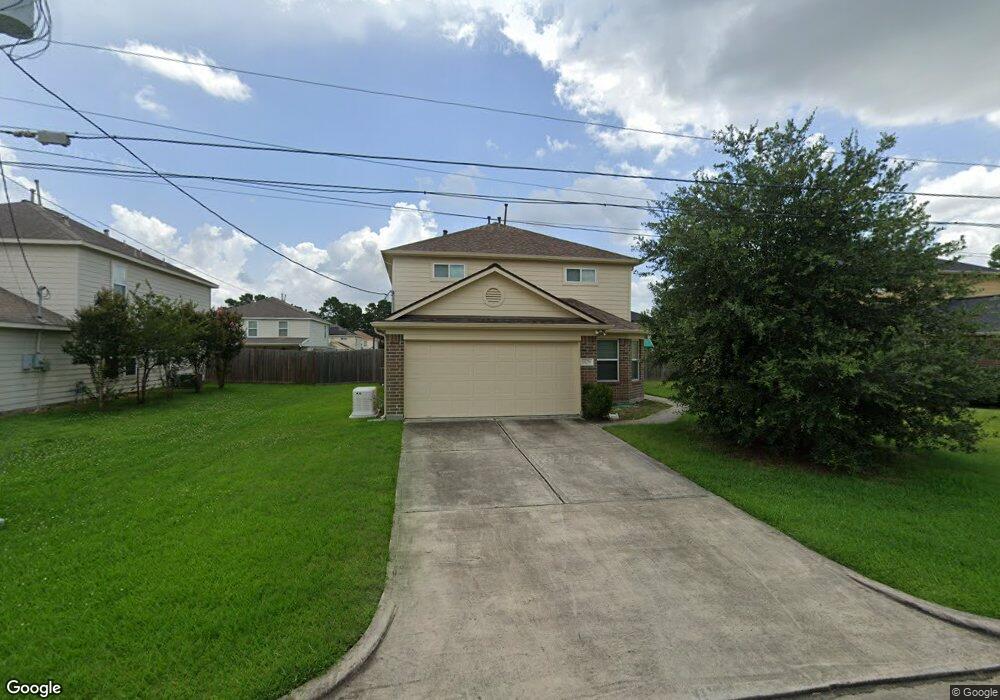
16779 N Rail Dr Conroe, TX 77385
Estimated Value: $240,490 - $285,000
--
Bed
1
Bath
2,119
Sq Ft
$125/Sq Ft
Est. Value
About This Home
This home is located at 16779 N Rail Dr, Conroe, TX 77385 and is currently estimated at $265,123, approximately $125 per square foot. 16779 N Rail Dr is a home with nearby schools including Oak Ridge Elementary School, Irons J High School, and Vogel Intermediate School.
Ownership History
Date
Name
Owned For
Owner Type
Purchase Details
Closed on
Jul 30, 2012
Sold by
Long Lake Ltd
Bought by
Warr Christopher T
Current Estimated Value
Home Financials for this Owner
Home Financials are based on the most recent Mortgage that was taken out on this home.
Original Mortgage
$106,469
Outstanding Balance
$75,568
Interest Rate
4.2%
Mortgage Type
FHA
Estimated Equity
$189,555
Purchase Details
Closed on
Jul 16, 2012
Sold by
Woodmere Development Co Ltd
Bought by
War Christopher T
Home Financials for this Owner
Home Financials are based on the most recent Mortgage that was taken out on this home.
Original Mortgage
$106,469
Outstanding Balance
$75,568
Interest Rate
4.2%
Mortgage Type
FHA
Estimated Equity
$189,555
Purchase Details
Closed on
Oct 17, 2011
Sold by
Long Lake Ltd
Bought by
War Christopher T
Create a Home Valuation Report for This Property
The Home Valuation Report is an in-depth analysis detailing your home's value as well as a comparison with similar homes in the area
Home Values in the Area
Average Home Value in this Area
Purchase History
| Date | Buyer | Sale Price | Title Company |
|---|---|---|---|
| Warr Christopher T | -- | South Land Title Llc | |
| War Christopher T | -- | -- | |
| War Christopher T | -- | -- |
Source: Public Records
Mortgage History
| Date | Status | Borrower | Loan Amount |
|---|---|---|---|
| Open | Warr Christopher T | $106,469 |
Source: Public Records
Tax History Compared to Growth
Tax History
| Year | Tax Paid | Tax Assessment Tax Assessment Total Assessment is a certain percentage of the fair market value that is determined by local assessors to be the total taxable value of land and additions on the property. | Land | Improvement |
|---|---|---|---|---|
| 2025 | $4,439 | $289,604 | $23,100 | $266,504 |
| 2024 | $6,367 | $269,531 | $23,100 | $246,431 |
| 2023 | $6,367 | $286,560 | $23,100 | $263,460 |
| 2022 | $5,298 | $258,240 | $23,100 | $235,140 |
| 2021 | $5,085 | $194,900 | $23,100 | $171,800 |
| 2020 | $5,064 | $183,590 | $23,100 | $160,490 |
| 2019 | $5,189 | $179,900 | $16,700 | $163,200 |
| 2018 | $4,764 | $165,180 | $16,700 | $148,480 |
| 2017 | $4,854 | $165,180 | $16,700 | $148,480 |
| 2016 | $4,783 | $162,750 | $16,700 | $146,050 |
| 2015 | $4,077 | $154,800 | $10,020 | $144,780 |
| 2014 | $4,077 | $126,390 | $10,020 | $116,370 |
Source: Public Records
Map
Nearby Homes
- 16778 N Gull Dr
- 16771 N Rail Dr
- 16751 N Rail Dr
- 9877 Lace Flower Way
- 16774 Fallen Timbers Dr
- 9838 Bobolink Dr
- 9921 Kingfisher Dr
- 16731 Foursquare Dr
- 10003 S Whimbrel Cir
- 3420 Chestnut Colony Ct
- 16859 Blackberry Lily Ln
- 10311 Woodhollow Dr
- 16916 Tableland Trail
- 9977 Western Ridge Way
- 9972 Western Ridge Way
- 9807 Toucan Ln
- 9881 Youpon Ridge Way
- 10114 N Whimbrel Cir
- 9903 Valance Way
- 9976 Cassowary Dr
- 16783 N Rail Dr
- 16775 N Rail Dr
- 16787 N Rail Dr
- 16782 N Gull Dr
- 16774 N Gull Dr
- 16778 N Rail Dr
- 16786 N Gull Dr
- 16767 N Rail Dr
- 16770 N Gull Dr
- 16782 N Rail Dr
- 16774 N Rail Dr
- 16770 N Rail Dr
- 16766 N Gull Dr
- 16786 N Rail Dr
- 16763 N Rail Dr
- 16762 N Gull Dr
- 16791 N Rail Dr
- 16759 N Rail Dr
- 16762 N Rail Dr
- 16779 Blue Jay St