168 Pequawket Trail Freedom, NH 03836
Estimated Value: $473,000 - $532,000
3
Beds
2
Baths
2,056
Sq Ft
$240/Sq Ft
Est. Value
About This Home
This home is located at 168 Pequawket Trail, Freedom, NH 03836 and is currently estimated at $493,543, approximately $240 per square foot. 168 Pequawket Trail is a home located in Carroll County with nearby schools including Freedom Elementary School.
Ownership History
Date
Name
Owned For
Owner Type
Purchase Details
Closed on
Jun 6, 2007
Sold by
Kondrat Thomas Z and Kondrat Elaine F
Bought by
Robacher Steven J
Current Estimated Value
Home Financials for this Owner
Home Financials are based on the most recent Mortgage that was taken out on this home.
Original Mortgage
$180,000
Outstanding Balance
$110,022
Interest Rate
6.17%
Mortgage Type
Purchase Money Mortgage
Estimated Equity
$383,521
Create a Home Valuation Report for This Property
The Home Valuation Report is an in-depth analysis detailing your home's value as well as a comparison with similar homes in the area
Home Values in the Area
Average Home Value in this Area
Purchase History
| Date | Buyer | Sale Price | Title Company |
|---|---|---|---|
| Robacher Steven J | $225,000 | -- |
Source: Public Records
Mortgage History
| Date | Status | Borrower | Loan Amount |
|---|---|---|---|
| Open | Robacher Steven J | $180,000 |
Source: Public Records
Tax History Compared to Growth
Tax History
| Year | Tax Paid | Tax Assessment Tax Assessment Total Assessment is a certain percentage of the fair market value that is determined by local assessors to be the total taxable value of land and additions on the property. | Land | Improvement |
|---|---|---|---|---|
| 2024 | $3,139 | $437,200 | $144,100 | $293,100 |
| 2023 | $2,724 | $248,100 | $50,500 | $197,600 |
| 2022 | $2,538 | $248,100 | $50,500 | $197,600 |
| 2021 | $2,692 | $248,100 | $50,500 | $197,600 |
| 2020 | $2,647 | $248,100 | $50,500 | $197,600 |
| 2019 | $2,651 | $195,500 | $53,100 | $142,400 |
| 2018 | $2,528 | $195,500 | $53,100 | $142,400 |
| 2016 | $2,463 | $195,500 | $53,100 | $142,400 |
| 2015 | $2,447 | $202,200 | $59,900 | $142,300 |
| 2014 | $2,467 | $202,200 | $59,900 | $142,300 |
| 2013 | $2,507 | $202,800 | $59,900 | $142,900 |
Source: Public Records
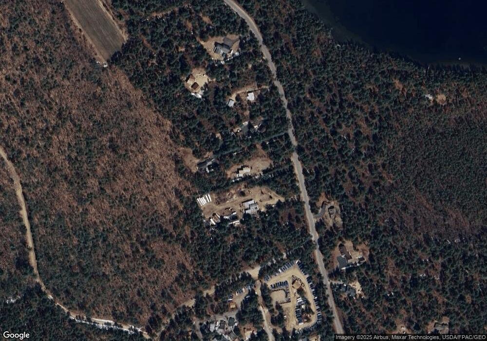
Map
Nearby Homes
- 4 Tomahawk Ln Unit 447
- 22 Mountview Ave
- 555 Huckins Rd
- 112 N Broadbay Rd
- 10 Spur Rd
- 4 Lower Broad Bay Rd
- 107 Pequawket Trail
- 5-11 Friedman Ln
- Lot 8 Friedman Ln
- 126 Leavitt Rd
- 5 Friedman Ln
- 61 E Danforth Rd
- 16 Channel Rd
- 33 Blueberry Rd
- 9 Abenaki Dr
- 6 Laurel Rd
- 121 E Danforth Rd
- Lot 10 Squire Ln
- Lot 11 Squire Ln
- Lot 9 Squire Ln
- 174 Pequawket Trail
- 164 Pequawket Trail
- 184 Pequawket Trail
- 156 Pequawket Trail
- 150 Pequawket Trail
- 189 Pequawket Trail
- 144 Pequawket Trail
- 201 Pequawket Trail
- 7 Wild Berry Ln
- 7 Wild Berry Ln
- 209 Pequawket Trail
- 5 E Sioux Ln Unit 409
- 18 Mourning Dove Ln Unit 1
- 12 E Sioux Lane - Site 398
- 12 E Sioux Ln Unit 398
- 4 E Sioux Ln Unit 401
- 6 E Sioux Ln Unit 400
- 6 E Sioux Ln
- 6 W Sioux Ln Unit 406
- 120 Pequawket Trail