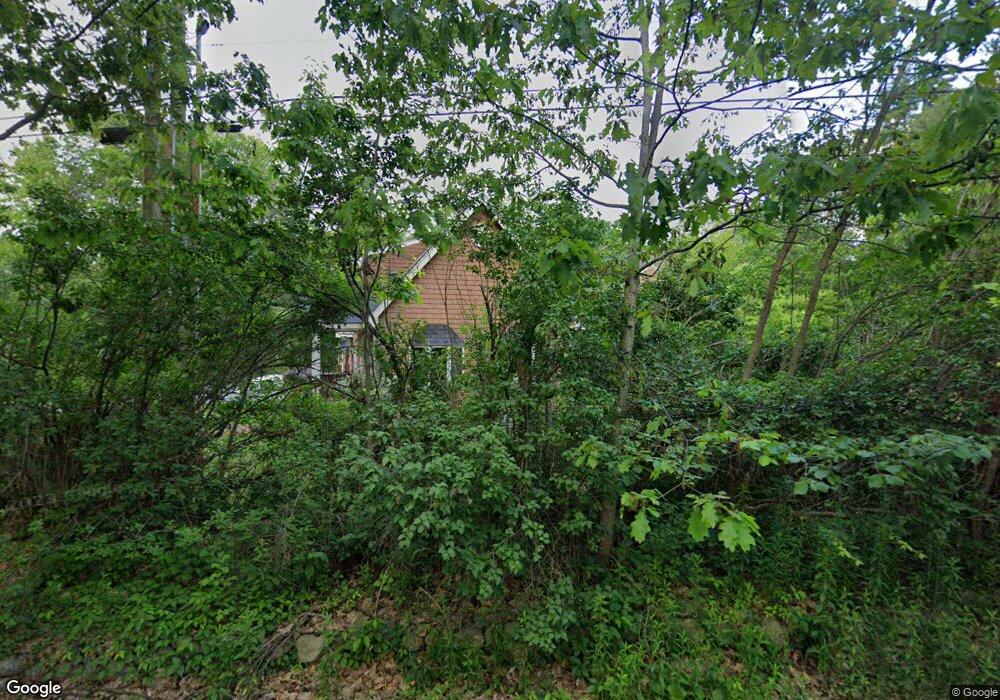
168 S Bennington Rd Bennington, NH 03442
Greenfield NeighborhoodEstimated Value: $459,000 - $557,000
4
Beds
2
Baths
3,041
Sq Ft
$168/Sq Ft
Est. Value
About This Home
This home is located at 168 S Bennington Rd, Bennington, NH 03442 and is currently estimated at $510,187, approximately $167 per square foot. 168 S Bennington Rd is a home with nearby schools including Pierce Elementary School, Great Brook School, and Conval Regional High School.
Ownership History
Date
Name
Owned For
Owner Type
Purchase Details
Closed on
Oct 5, 2020
Sold by
Solod Victor S
Bought by
Solod Courney L
Current Estimated Value
Purchase Details
Closed on
Dec 20, 2019
Sold by
Solod Victor
Bought by
Hall Courtney
Purchase Details
Closed on
Dec 30, 1996
Sold by
Wilson Libra M Est
Bought by
Solod Victor S
Home Financials for this Owner
Home Financials are based on the most recent Mortgage that was taken out on this home.
Original Mortgage
$45,000
Interest Rate
7.55%
Mortgage Type
Purchase Money Mortgage
Create a Home Valuation Report for This Property
The Home Valuation Report is an in-depth analysis detailing your home's value as well as a comparison with similar homes in the area
Home Values in the Area
Average Home Value in this Area
Purchase History
| Date | Buyer | Sale Price | Title Company |
|---|---|---|---|
| Solod Courney L | -- | None Available | |
| Hall Courtney | -- | None Available | |
| Solod Victor S | $50,000 | -- |
Source: Public Records
Mortgage History
| Date | Status | Borrower | Loan Amount |
|---|---|---|---|
| Previous Owner | Solod Victor S | $45,000 |
Source: Public Records
Tax History Compared to Growth
Tax History
| Year | Tax Paid | Tax Assessment Tax Assessment Total Assessment is a certain percentage of the fair market value that is determined by local assessors to be the total taxable value of land and additions on the property. | Land | Improvement |
|---|---|---|---|---|
| 2024 | $6,433 | $286,300 | $37,500 | $248,800 |
| 2023 | $9,205 | $286,300 | $37,500 | $248,800 |
| 2022 | $9,061 | $286,300 | $37,500 | $248,800 |
| 2020 | $1,713 | $286,300 | $37,500 | $248,800 |
| 2019 | $375 | $291,100 | $37,500 | $253,600 |
| 2018 | $1,714 | $213,100 | $25,000 | $188,100 |
| 2017 | $6,806 | $213,100 | $25,000 | $188,100 |
| 2016 | $466 | $213,100 | $25,000 | $188,100 |
| 2015 | $6,517 | $213,100 | $25,000 | $188,100 |
| 2014 | $6,223 | $213,100 | $25,000 | $188,100 |
| 2013 | $6,373 | $250,900 | $37,000 | $213,900 |
Source: Public Records
Map
Nearby Homes
- 151 U S 202
- 52 Dodge Rd
- 43 Greenfield Rd
- 301 Greenfield Rd
- 15 Dodge Hill Rd
- 184 Francestown Rd
- 548 Old Bennington Rd
- 38 Moose Brook Ln
- 31 Moose Brook Ln
- M16-L02 U S Highway 202
- 479 U S 202
- 494 Old Bennington Rd
- 63 Balch Farm Rd
- 128 Onset Rd
- 16 Bobalink Cir
- 188 Forest Rd
- 1388 Forest Rd
- 100 Antrim Rd
- 10 Onset Rd Unit 34B
- 42 Pleasant St
- 160 S Bennington Rd
- 178 S Bennington Rd
- 148 S Bennington Rd
- 181 S Bennington Rd
- 151 S Bennington Rd Unit 16-2
- 151 S Bennington Rd Unit 16-1
- 186 S Bennington Rd
- 140 S Bennington Rd
- 198 S Bennington Rd
- 97 Paradise Dr
- 87 Paradise Dr
- 105 Paradise Dr
- 208 S Bennington Rd
- 63 Paradise Dr
- 213 S Bennington Rd
- 45 Paradise Dr
- 111 Paradise Dr
- Lot 2/3 Paradise Dr
- 216 S Bennington Rd
- 0 Paradise Dr