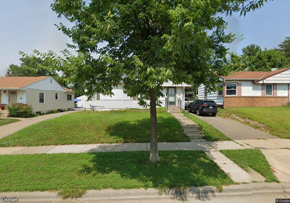
1681 Euclid St Saint Paul, MN 55106
Battle Creek NeighborhoodEstimated Value: $257,000 - $266,000
3
Beds
2
Baths
888
Sq Ft
$293/Sq Ft
Est. Value
About This Home
This home is located at 1681 Euclid St, Saint Paul, MN 55106 and is currently estimated at $260,550, approximately $293 per square foot. 1681 Euclid St is a home located in Ramsey County with nearby schools including Battle Creek Elementary School, Battle Creek Middle School, and Harding Senior High School.
Ownership History
Date
Name
Owned For
Owner Type
Purchase Details
Closed on
May 29, 2020
Sold by
Welter Elizabeth L
Bought by
Yang Mai Pa Boua
Current Estimated Value
Home Financials for this Owner
Home Financials are based on the most recent Mortgage that was taken out on this home.
Original Mortgage
$201,857
Outstanding Balance
$178,931
Interest Rate
3.2%
Mortgage Type
New Conventional
Estimated Equity
$81,619
Create a Home Valuation Report for This Property
The Home Valuation Report is an in-depth analysis detailing your home's value as well as a comparison with similar homes in the area
Home Values in the Area
Average Home Value in this Area
Purchase History
| Date | Buyer | Sale Price | Title Company |
|---|---|---|---|
| Yang Mai Pa Boua | $208,100 | Titlesmart Inc |
Source: Public Records
Mortgage History
| Date | Status | Borrower | Loan Amount |
|---|---|---|---|
| Open | Yang Mai Pa Boua | $201,857 |
Source: Public Records
Tax History Compared to Growth
Tax History
| Year | Tax Paid | Tax Assessment Tax Assessment Total Assessment is a certain percentage of the fair market value that is determined by local assessors to be the total taxable value of land and additions on the property. | Land | Improvement |
|---|---|---|---|---|
| 2025 | $3,328 | $230,500 | $48,400 | $182,100 |
| 2023 | $3,328 | $225,200 | $30,100 | $195,100 |
| 2022 | $2,844 | $233,000 | $30,100 | $202,900 |
| 2021 | $2,432 | $190,200 | $30,100 | $160,100 |
| 2020 | $2,348 | $171,300 | $30,100 | $141,200 |
| 2019 | $2,480 | $156,900 | $30,100 | $126,800 |
| 2018 | $2,034 | $153,300 | $30,100 | $123,200 |
| 2017 | $1,782 | $141,200 | $30,100 | $111,100 |
| 2016 | $1,676 | $0 | $0 | $0 |
| 2015 | $1,658 | $121,400 | $30,100 | $91,300 |
| 2014 | $1,456 | $0 | $0 | $0 |
Source: Public Records
Map
Nearby Homes
- 1685 Fremont Ave
- 1600 Old Hudson Rd
- 1821 Wilson Ave
- 1538 Wilson Ave
- 1751 Margaret St
- 1450 Fremont Ave
- 1551 Margaret St
- 1935 Fremont Ave E
- 1443 Pacific St
- 1683 Minnehaha Ave E
- 1675 Minnehaha Ave E
- 1590 Minnehaha Ave E
- 1489 6th St E
- 237 Sigurd St
- 1493 Margaret St
- 1964 4th St E
- 201 Dora Ct W
- 465 Ruth St N
- 1764 Bush Ave
- 1685 Bush Ave
- 1687 Euclid St
- 1675 Euclid St
- 1675 1675 Euclid-Street-
- 1693 Euclid St
- 1693 1693 Euclid-Street-
- 1671 Euclid St
- 1682 Conway St
- 1690 Conway St
- 1678 Conway St
- 1678 1678 Conway-Street-
- 1699 Euclid St
- 1667 Euclid St
- 1696 Conway St
- 1672 Conway St
- 1682 Euclid St
- 1688 Euclid St
- 1688 1688 Euclid-Street-
- 1676 Euclid St
- 1702 Conway St
- 1690 Euclid St